Browse / Algeria / Béjaïa / Feraoun
Feraoun
Béjaïatown

Featured view
Feraoun
Total population
15,482
Coordinates36.56°, 4.87°
Demographic figures from Office National des Statistiques (Algeria). Overview below cites Wikipedia and may reference a different year.
Loading additional data from public sources…0 / 11
CensusWikipediaWeatherPlacesPeopleEnvironmentHealth & SchoolsRelatedGeography & CultureLive MonitoringEvents & Gallery
0% completeCity facts
Overview
Feraoun is a commune in northern Algeria in the Béjaïa Province in the Kabylia region. It serves as the administrative center of the commune of Feraoun.
Read more on WikipediaHistory & geography
Geography
Latitude
36.5581
Longitude
4.8660
Water area
—
Coordinates & boundaries from the US Census TIGER/Line shapefiles.
Climate
Air quality
Walkability
Amenities nearby
Wildlife & biodiversity
Earthquake history
Photos
Sights & places nearby
Notable people from here

Abdelmalek Sayad
French sociologist and philosopher (1933-1998)
A
Agraw Boudjemâa
Algerian singer
H
Hamza Anani
footballer
M
Mounir Bordjah
Algerian association football player

Brahim Hammouche
French politician
People born within ~10 km, from Wikidata (CC0). Click any name for their Wikipedia article.
Nearby places in Béjaïa
Geography & sun
Avg solar (kWh/m²/day)
4.83
Annual solar (kWh/m²)
1,762
Elevation, sunrise/sunset and daylight from Open-Meteo. Solar climatology from NASA POWER.
Nearby airports
Public attention
Wikipedia views (last 30 days)
0
Avg daily Wikipedia views
0
Attention level
Obscure
Pageview totals from the Wikimedia Pageviews API.
Books about this place
Recent natural events nearby
Ground air-quality sensors
Recently spotted species
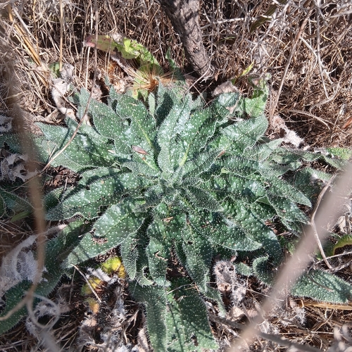
Echium asperrimum
Echium asperrimum
Seen 2026-10-02
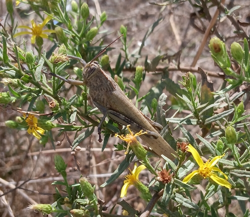
Egyptian Bird Grasshopper
Anacridium aegyptium
Seen 2026-10-02
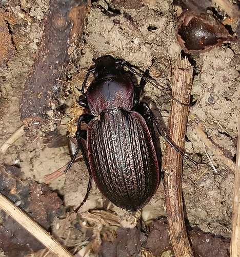
Carabus morbillosus
Carabus morbillosus
Seen 2026-10-02
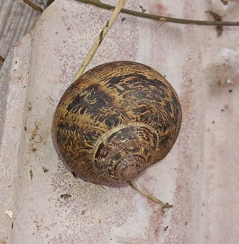
Garden Snail
Cornu aspersum
Seen 2026-10-02
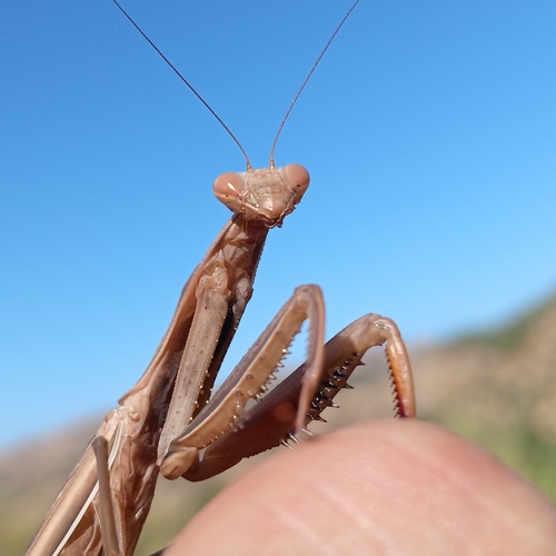
European Mantis
Mantis religiosa
Seen 2026-08-06
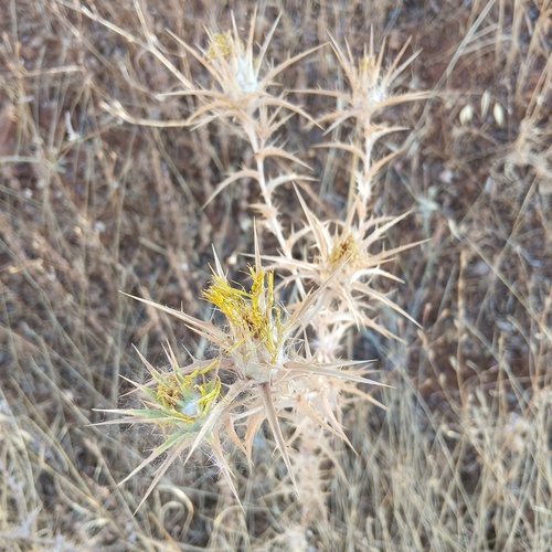
woolly distaff thistle
Carthamus lanatus
Seen 2026-08-06
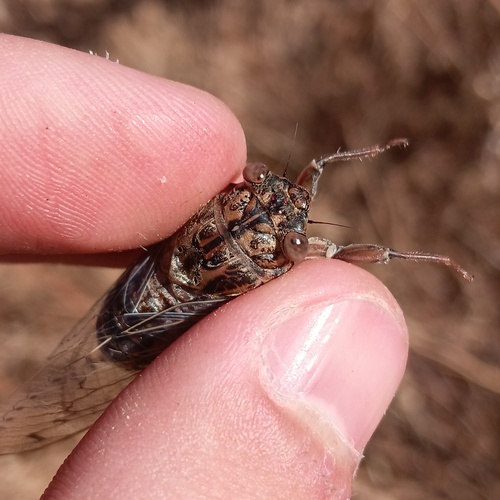
Cicada barbara
Cicada barbara
Seen 2026-08-06
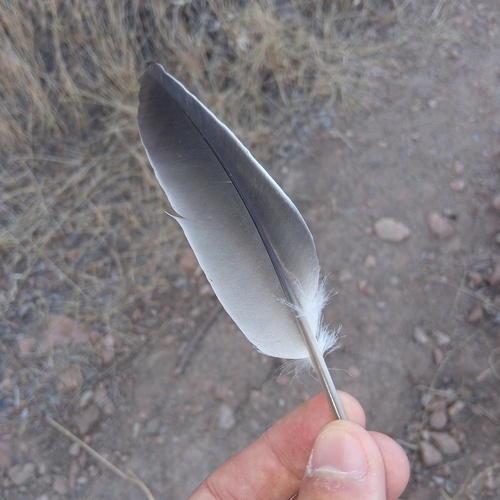
Common Wood-Pigeon
Columba palumbus
Seen 2026-08-06
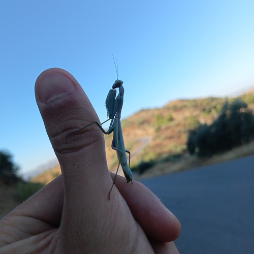
Mediterranean Mantis
Iris oratoria
Seen 2026-08-06
Research-grade observations from iNaturalist (within ~15 mi).
Events
Gallery
Sources
- • Wikipedia
- • Wikidata
- • iNaturalist
- • Open-Meteo / sunrise-sunset.org
- • Wikipedia Pageviews API