Browse / Algeria / Ghardaïa / Ghardaia
Ghardaia
Ghardaïacity

Ghardaia
Total population
142,913
Founded
1048
Demographic figures from Office National des Statistiques (Algeria). Overview below cites Wikipedia and may reference a different year.
City facts
Facts from Wikidata (CC0).
Overview
Ghardaïa is the capital city of Ghardaïa Province, Algeria. The commune of Ghardaïa has a population of 93,423 according to the 2008 census, up from 87,599 in 1998, with an annual growth rate of 0.7%., up to 477953 in 2019 with an annual growth rate of 0.7%.
Read more on WikipediaHistory & geography
History
The M'Zab valley, in limestone plateau, was inscribed under the UNESCO Heritage List, is a unique conglomeration of five cities confined in area of 75 km2 situated 600 km to the south of Algiers, the capital of Algeria. The original architecture of the semi desert valley is dated to early 11th century. It is ascribed to the Ibadis, with their cultural identity originally traced to the Maghreb; they had their capital at Tahert as an Ibadi Kingdom. They were forced to leave Tahert consequent to a devastating fire in 909 (it is reported that destruction was caused by the founder of the (Shi'ite) Fatimid Dynasty or 1053. Each village was planned in a diverse topography comprising a small island, a ridge, a hilltop, a peak and a recess. The villages were fortified in such a manner that they were inaccessible to the nomadic groups. The five villages set up with identical planning concepts were Ghardaïa, Melika, Beni Isguen, Bou Noura and El Atteuf. The identical “miniature citadels”, as they are termed, each had their own mosque with minaret functioning as watch towers, and the houses built around the mosque in concentric circles and surrounded by a high walls (extending up to the ramparts). The buildings together gave the feel of a fortress to each village. The mosque also provided for storage of grains and arms for defence.
Geography
The city is located within the Sahara Desert in northern-central Algeria. Ghardaïa Province is divided into 13 communes or municipalities, which includes the Ghardaïa municipality. It is bordered by Ouargla and El Bayadh Wilayas. It is nestled in the M'zab valley, lying on the left bank of the Wadi Mzab, which is commonly dry throughout the year. The commune of Ghardaïa now covers an area of and includes a number of suburbs, towns and villages in addition to Ghardaïa. Suburb settlements include Mélika, Béni Isguen, Bounoura (Has Bunur) and El Atteuf (Tadjnint), all of which lie to the southeast of Ghardaïa city and the ancient ksar of Metlili-Chaamba or Metlili which lies to the southwest. Outside of the Mzab Valley, Berriane (Has Ibergane) and El Guerrara (Iguerraren) are towns of note, the first to the north, and the second to the northeast. Ghardaïa's ancient water distribution system was devised by the Mozabites, as a response to the ephemeral flows of its oueds (rivers). Realising the preciousness of this natural resource, the Mozabites developed a unique hydraulic system of tunnels to harvest rainwater and divert it to the oases. They have an equitable water distribution to all gardens and also maintain good flood protection measures.
Excerpted from the corresponding Wikipedia article (CC BY-SA).
Geography
Coordinates & boundaries from the US Census TIGER/Line shapefiles.
Climate
Air quality
Walkability
Amenities nearby
Wildlife & biodiversity
Most-observed species
- House BuntingEmberiza sahari J.Levaillant, 1850 · Aves14
- Fulvous ChattererTurdoides fulva (Desfontaines, 1789) · Aves13
- White-crowned WheatearOenanthe leucopyga (C.L.Brehm, 1855) · Aves11
- Rock PigeonColumba livia J.F.Gmelin, 1789 · Aves9
- Eurasian Collared-DoveStreptopelia decaocto (Frivaldszky, 1838) · Aves7
- House SparrowPasser domesticus (Linnaeus, 1758) · Aves7
- European Turtle-DoveStreptopelia turtur (Linnaeus, 1758) · Aves6
- Blue-cheeked/Blue-tailed Bee-eaterMerops persicus Pallas, 1773 · Aves5
Citizen-science & research observations from the Global Biodiversity Information Facility (GBIF).
Earthquake history
Events from the USGS Earthquake Catalog (global) (FDSN Event Web Service).
Photos
Sights & places nearby
Notable people from here


People born within ~10 km, from Wikidata (CC0). Click any name for their Wikipedia article.
Nearby places in Ghardaïa
- El Guemgouma13.7 mi away
- Mungyeong6470.5 mi away · pop. 73,294
- Sangju6478.1 mi away · pop. 100,947
- Sinsang-ri6480.7 mi away
- Geomseong-ri6486.7 mi away
- Deokgu-ri6487.8 mi away
- Nagok-ri6488.3 mi away
- Sangdang-ri6488.6 mi away
- Bugu-ri6488.8 mi away
- Buk6489.6 mi away
- Ducheon-ri6490.2 mi away
- Sinhwa-ri6490.6 mi away
Geography & sun
Elevation, sunrise/sunset and daylight from Open-Meteo. Solar climatology from NASA POWER.
Nearby airports
Public attention
Pageview totals from the Wikimedia Pageviews API.
Books about Ghardaia
Search results from Open Library.
Recent natural events nearby
Ground air-quality sensors
Recently spotted species
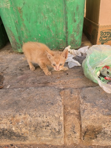
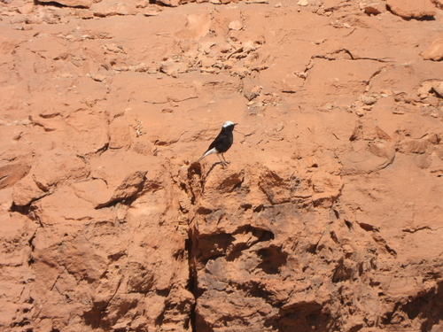
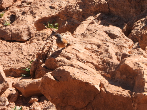

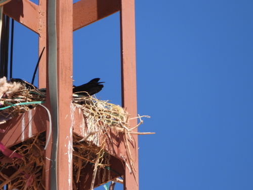
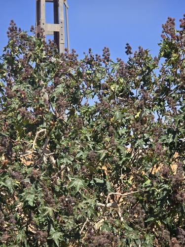
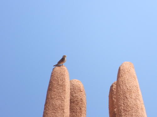
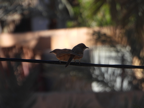
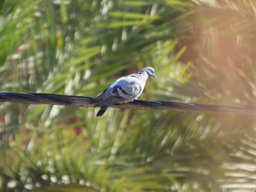
Research-grade observations from iNaturalist (within ~15 mi).
Events
Gallery
Sources
- • Wikipedia
- • Wikidata
- • USGS Earthquake Catalog (global feed)
- • GBIF (Global Biodiversity Information Facility)
- • iNaturalist
- • Open-Meteo / sunrise-sunset.org
- • Wikipedia Pageviews API
- • Open Library