Browse / Algeria / Aïn Defla / Hammam Righa
Hammam Righa
Aïn Deflavillage

Hammam Righa
Total population
8,488
Demographic figures from Office National des Statistiques (Algeria). Overview below cites Wikipedia and may reference a different year.
City facts
Overview
Hammam Righa is a town in northern Algeria. During the period of Roman occupation, Hammam Righa was a Roman colony called Aquae Calidae. It is located at 36.379474n, 2.395618e near the railway town of Boumedfaâ, and is on the Oued Djer River. The town is the largest of the three towns of Hammam Righa District.
Read more on WikipediaHistory & geography
Geography
Coordinates & boundaries from the US Census TIGER/Line shapefiles.
Climate
Air quality
Walkability
Amenities nearby
Wildlife & biodiversity
Most-observed species
- White MignonetteReseda alba L. · Magnoliopsida4
- crowndaisyGlebionis coronaria (L.) Tzvelev · Magnoliopsida4
- smooth golden fleeceUrospermum dalechampii (L.) Scop. ex F.W.Schmidt · Magnoliopsida3
- Pale SpeedwellVeronica cymbalaria Bodard · Magnoliopsida3
- Shrubby Hare's-earBupleurum fruticosum L. · Magnoliopsida3
- Mediterranean coriariaCoriaria myrtifolia L. · Magnoliopsida3
- Teucrium pseudochamaepitys L.Teucrium pseudochamaepitys L. · Magnoliopsida3
- Early Virgin's-bowerClematis cirrhosa L. · Magnoliopsida3
Citizen-science & research observations from the Global Biodiversity Information Facility (GBIF).
Earthquake history
Most recent
- M 4.8 — 2025-03-1819 km SW of Lakhdaria, Algeria
- M 5 — 2024-12-1617 km ENE of Sidi Akkacha, Algeria
- M 4 — 2022-12-07northern Algeria
- M 4.8 — 2022-11-1224 km NE of Berrouaghia, Algeria
- M 4.1 — 2022-03-1816 km ENE of Berrouaghia, Algeria
- M 4.4 — 2021-07-315 km NNW of El Abadia, Algeria
Events from the USGS Earthquake Catalog (global) (FDSN Event Web Service).
Photos
Sights & places nearby
Notable people from here
People born within ~10 km, from Wikidata (CC0). Click any name for their Wikipedia article.
Nearby places in Aïn Defla
Geography & sun
Elevation, sunrise/sunset and daylight from Open-Meteo. Solar climatology from NASA POWER.
Nearby airports
Public attention
Pageview totals from the Wikimedia Pageviews API.
Books about this place
Recent natural events nearby
Ground air-quality sensors
Recently spotted species
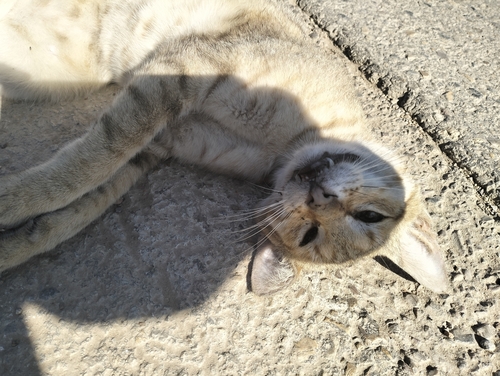
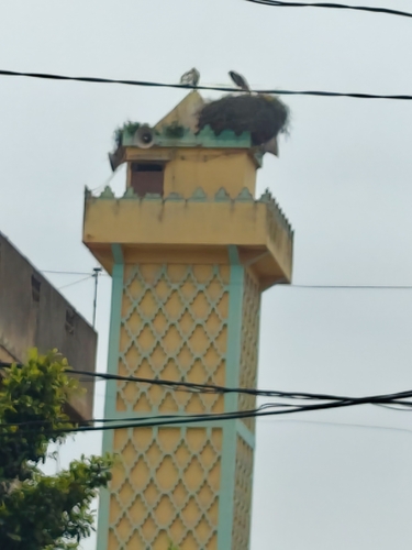
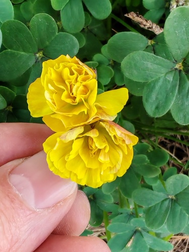
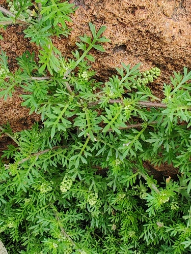
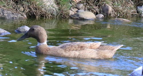
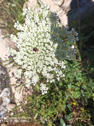
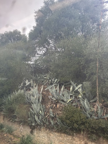

Research-grade observations from iNaturalist (within ~15 mi).
Events
Gallery
Sources
- • Wikipedia
- • Wikidata
- • USGS Earthquake Catalog (global feed)
- • GBIF (Global Biodiversity Information Facility)
- • iNaturalist
- • Open-Meteo / sunrise-sunset.org
- • Wikipedia Pageviews API