Browse / Algeria / Tamanrasset / In Amguel
In Amguel
Tamanrassettown

In Amguel
Total population
4,208
Demographic figures from Office National des Statistiques (Algeria). Overview below cites Wikipedia and may reference a different year.
City facts
Facts from Wikidata (CC0).
Overview
In Amguel is a town and commune in Tamanrasset District, Tamanrasset Province, Algeria. According to the 2008 census it has a population of 4,208, up from 3,030 in 1998, with an annual growth rate of 3.4%. Its postal code is 11100 and its municipal code is 1109.
Read more on WikipediaHistory & geography
Geography
In Amguel lies at an elevation of on the southern bank of a wadi that cuts through a plateau lying to the northwest of the Hoggar Mountains. The numerous wadis in the area support some vegetation, but beyond them the land is barren and rocky. In Amguel is notable for being the location of several underground nuclear tests conducted by the French military. They include the now infamous Béryl incident which released a cloud of radioactive dust outside the tunnel entrance, contaminating officials viewing the test.
Excerpted from the corresponding Wikipedia article (CC BY-SA).
Geography
Coordinates & boundaries from the US Census TIGER/Line shapefiles.
Climate
Air quality
Walkability
Amenities nearby
Wildlife & biodiversity
Earthquake history
Events from the USGS Earthquake Catalog (global) (FDSN Event Web Service).
Photos
Sights & places nearby
Notable people from here
Nearby places in Tamanrasset
Geography & sun
Elevation, sunrise/sunset and daylight from Open-Meteo. Solar climatology from NASA POWER.
Nearby airports
Public attention
Pageview totals from the Wikimedia Pageviews API.
Books about this place
Recent natural events nearby
Ground air-quality sensors
Recently spotted species
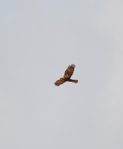
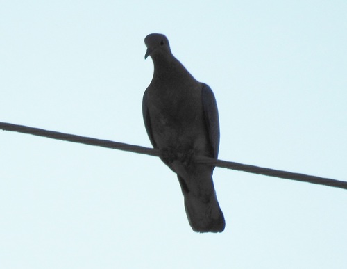
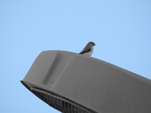
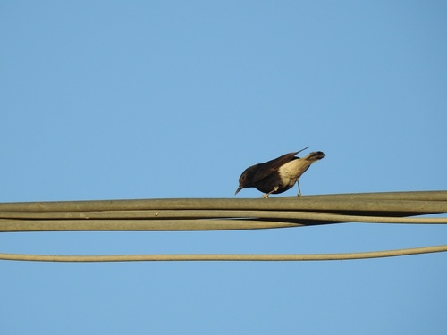
Research-grade observations from iNaturalist (within ~15 mi).
Events
Gallery
Geotagged photos within ~6 miles of In Amguel, from Wikimedia Commons contributors.


Photos via Wikimedia Commons — see each image page for license & attribution.
Sources
- • Wikipedia
- • Wikimedia Commons
- • Wikidata
- • USGS Earthquake Catalog (global feed)
- • iNaturalist
- • Open-Meteo / sunrise-sunset.org
- • Wikipedia Pageviews API