Browse / Algeria / Tipaza / Khemisti
Khemisti
Tipazavillage
Total population
15,128
Demographic figures from Office National des Statistiques (Algeria). Overview below cites Wikipedia and may reference a different year.
City facts
Overview
Set in Tipaza, Algeria, Khemisti is recorded in open geodata as a village. It is home to roughly 15,128 residents. Coordinates of 36.625°, 2.680° situate Khemisti in the warm-temperate zone of the northern hemisphere. Open solar datasets indicate about 1,766 kWh/m² of solar irradiance per year, combined with sunshine for roughly 69% of daylight hours. Its latitude implies a climate characterised by warm summers and cool winters. Local weather statistics describe average highs near 76.1°F and lows near 58.1°F, alongside about 21.8 in of annual precipitation (a relatively dry total). The remainder of this page draws on open public data to describe the area's demographics, climate, environment and nearby amenities.
Summary composed automatically from structured open data on this page. See our Terms for details.
History & geography
Geography
Coordinates & boundaries from the US Census TIGER/Line shapefiles.
Climate
10-year averages from ERA5 reanalysis (Open-Meteo).
Air quality
Walkability
Amenities nearby
Wildlife & biodiversity
Most-observed species
- Black-headed GullChroicocephalus ridibundus (Linnaeus, 1766) · Aves39
- Little Egret/Western Reef-HeronEgretta garzetta (Linnaeus, 1766) · Aves38
- Great Cormorant/European ShagPhalacrocorax carbo (Linnaeus, 1758) · Aves37
- Eurasian CootFulica atra Linnaeus, 1758 · Aves36
- Cattle EgretBubulcus ibis (Linnaeus, 1758) · Aves36
- Squacco HeronArdeola ralloides (Scopoli, 1769) · Aves35
- MallardAnas platyrhynchos Linnaeus, 1758 · Aves32
- Little GrebeTachybaptus ruficollis (Pallas, 1764) · Aves31
Citizen-science & research observations from the Global Biodiversity Information Facility (GBIF).
Earthquake history
Most recent
- M 4.8 — 2025-03-1819 km SW of Lakhdaria, Algeria
- M 4 — 2022-12-07northern Algeria
- M 4.1 — 2022-11-2024 km WNW of Dellys, Algeria
- M 4.8 — 2022-11-1224 km NE of Berrouaghia, Algeria
- M 4.1 — 2022-03-1816 km ENE of Berrouaghia, Algeria
- M 4.4 — 2021-07-315 km NNW of El Abadia, Algeria
Events from the USGS Earthquake Catalog (global) (FDSN Event Web Service).
Photos
Sights & places nearby
Notable people from here


People born within ~10 km, from Wikidata (CC0). Click any name for their Wikipedia article.
Nearby places in Tipaza
- Paillote2.2 mi away
- Haouch Ben Said2.2 mi away
- Douar Nessasseha دوار نساسحة3.2 mi away
- Haouch Gaby3.6 mi away
- Haouch Ben Kouider7.5 mi away
- Brahim Ben Omar إبراهيم بن عمر10.3 mi away
- Haouch Khelifa Tayeb (Markal)11.2 mi away
- Si Semyani سي سمياني15.4 mi away
- Beni Othmane18.5 mi away
- Si Amrane عمران24.1 mi away
- Cherchell27.2 mi away · pop. 48,056
- Sidi Ghiles31 mi away · pop. 15,281
Geography & sun
Elevation, sunrise/sunset and daylight from Open-Meteo. Solar climatology from NASA POWER.
Nearby airports
Public attention
Books about this place
Recent natural events nearby
Ground air-quality sensors
Recently spotted species
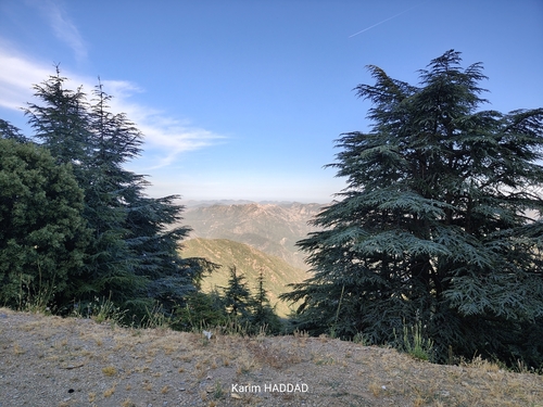
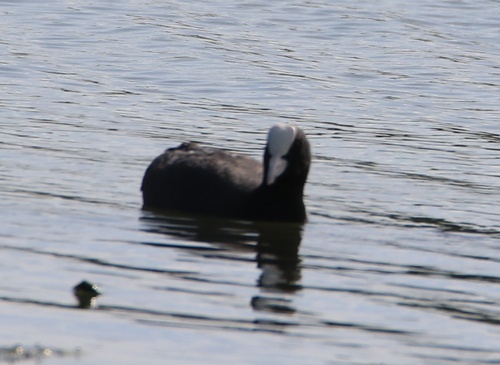
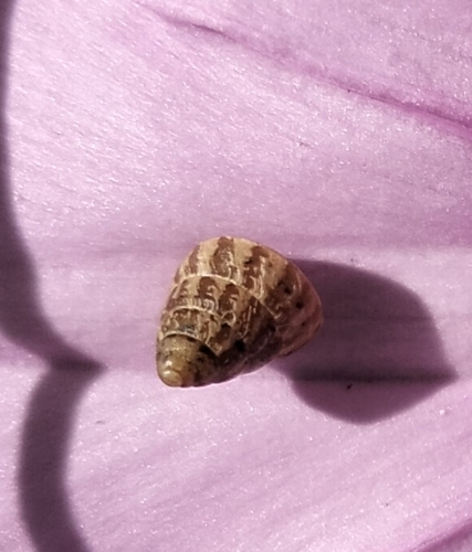
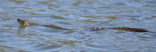
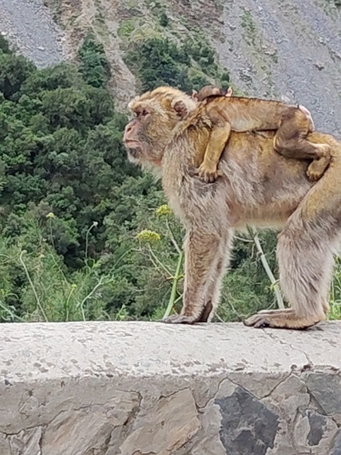
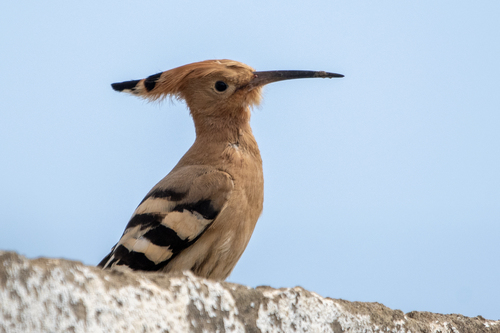
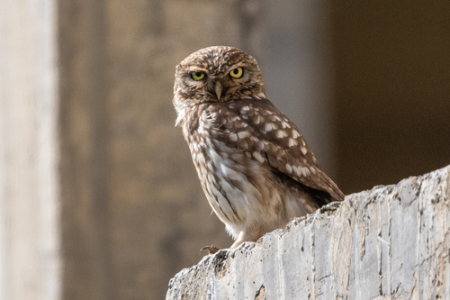
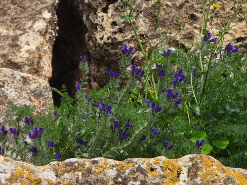
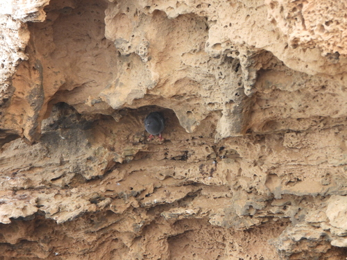
Research-grade observations from iNaturalist (within ~15 mi).
Events
Gallery
Sources
- • Open-Meteo (ERA5 reanalysis)
- • Wikidata
- • USGS Earthquake Catalog (global feed)
- • GBIF (Global Biodiversity Information Facility)
- • iNaturalist
- • Open-Meteo / sunrise-sunset.org