Browse / Algeria / Khenchela / Khenchela
Khenchela
Khenchelacity

Khenchela
Total population
108,580
Demographic figures from Office National des Statistiques (Algeria). Overview below cites Wikipedia and may reference a different year.
City facts
Facts from Wikidata (CC0).
Overview
Khenchela is the capital city of the administrative Khenchela Province (Wilaya), in the north east of Algeria. Situated in the Aures Mountains, 1200 m above sea level. The city is mainly populated by Berber Chaouis.
Read more on WikipediaHistory & geography
History
Kahina led a decades long war against the Islamic conquest in the 7th century and built a castle here. During the Barbary period there were many inter-town conflicts over water resources. The French army reached Khenchela in 1850 after heavy fighting and strenuous resistance and set up a military administration. Organization of work on the city was undertaken. The first French settlers were allowed from 1878. Farms and plantations were built. In the process, farmers cleared a path for vegetation at the valley of Wadi Boughegal which in turn gave birth to natural grasslands, allowing cattle breeding and feeding the population with fresh dairy products. In October 1905, the inauguration of the meter-gauge railway line from Aïn Beïda to Khenchela provided daily service with the north of the country. Military administration lasted until 1912. In 1982, a mass grave containing more than 1200 corpses from the war of Algeria was discovered. It would be the largest ever discovered in Algeria. The authorities and the Algerian press attributed it to the French army, while others disputed this and suggested the victims may have been French harkis.
Geography
Located in the Aurès Mountains (part of the Atlas Mountains), at above sea level, Khenchela has warm-summer Mediterranean climate (Köppen climate classification Csb), with an average annual precipitation of . Summers are warm and dry and winters are chilly and wetter, with the possibility of snowfall. This is one of the coldest cities in Algeria.
Excerpted from the corresponding Wikipedia article (CC BY-SA).
Geography
Coordinates & boundaries from the US Census TIGER/Line shapefiles.
Climate
Air quality
Walkability
Amenities nearby
Wildlife & biodiversity
Earthquake history
Photos
Sights & places nearby
Notable people from here


People born within ~10 km, from Wikidata (CC0). Click any name for their Wikipedia article.
Nearby places in Khenchela
- Tmayort N'sigha2.4 mi away · pop. 9,257
- Tazogaght5.3 mi away · pop. 38,706
- Baghai6.7 mi away
- Aïn Djerboua12.2 mi away
- M'Toussa13 mi away
- Kais13.3 mi away · pop. 34,383
- Tamza14.9 mi away
- Oued Rechache14.9 mi away · pop. 24,923
- Ras El Ma17.5 mi away · pop. 8,232
- Ain Touila18 mi away
- Babar18.2 mi away · pop. 34,844
- Ait Ouanjel19.2 mi away
Geography & sun
Elevation, sunrise/sunset and daylight from Open-Meteo. Solar climatology from NASA POWER.
Nearby airports
Public attention
Pageview totals from the Wikimedia Pageviews API.
Books about Khenchela
Search results from Open Library.
Recent natural events nearby
Ground air-quality sensors
Recently spotted species
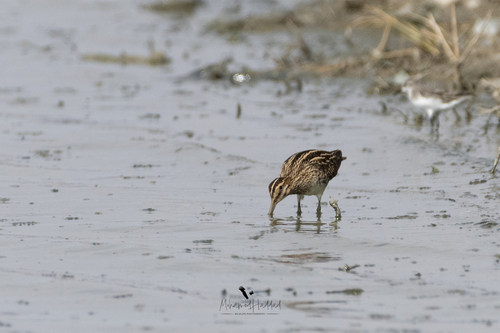
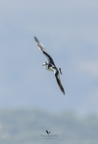
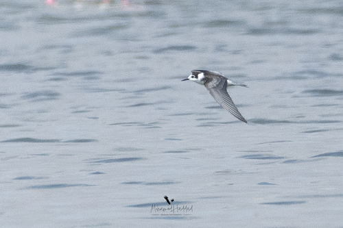
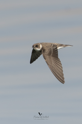

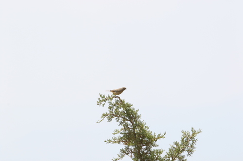
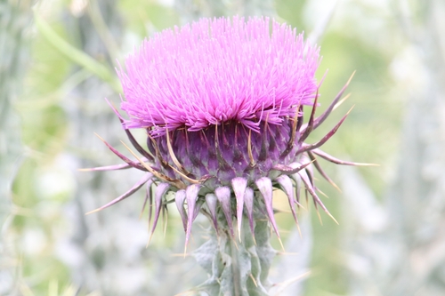
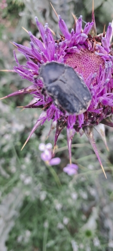
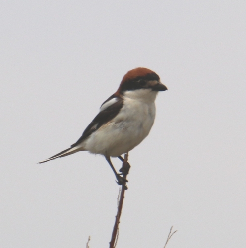
Research-grade observations from iNaturalist (within ~15 mi).
Events
Gallery
Sources
- • Wikipedia
- • Wikidata
- • iNaturalist
- • Open-Meteo / sunrise-sunset.org
- • Wikipedia Pageviews API
- • Open Library