Browse / Algeria / Skikda / Kheneg Mayoun
Kheneg Mayoun
Skikdavillage
Total population
4,587
Air quality index
Demographic figures from Office National des Statistiques (Algeria). Overview below cites Wikipedia and may reference a different year.
City facts
Overview
Kheneg Mayoum is a town and commune in Skikda Province in north-eastern Algeria.
Read more on WikipediaHistory & geography
Geography
Coordinates & boundaries from the US Census TIGER/Line shapefiles.
Climate
Air quality
Current readings from Open-Meteo Air Quality API (Copernicus CAMS European reanalysis).
Walkability
Amenities nearby
Wildlife & biodiversity
Most-observed species
- TutsanHypericum androsaemum L. · Magnoliopsida7
- Numidian SquillDrimia numidica (Jord. & Fourr.) J.C.Manning & Goldblatt · Liliopsida4
- Lilac ChastetreeVitex agnus-castus L. · Magnoliopsida4
- Southern PolypodyPolypodium cambricum L. · Polypodiopsida4
- Lesser CelandineFicaria verna Huds. · Magnoliopsida4
- AlderAlnus glutinosa (L.) Gaertn. · Magnoliopsida3
- Bermuda-buttercupOxalis pes-caprae L. · Magnoliopsida3
- Soft Shield-fernPolystichum setiferum (Forssk.) T.Moore ex Woyn. · Polypodiopsida3
Citizen-science & research observations from the Global Biodiversity Information Facility (GBIF).
Earthquake history
Photos
Sights & places nearby
Notable people from here
People born within ~10 km, from Wikidata (CC0). Click any name for their Wikipedia article.
Nearby places in Skikda
- Tetti Mecci500.4 mi away
- Ormea500.6 mi away · pop. 1,967
- Bagni di Vinadio504.7 mi away
- Pratolungo505.8 mi away
- Robilante507.4 mi away · pop. 2,316
- Casario508.5 mi away
- Lurisia509.5 mi away
- Roccaforte Mondovì510.7 mi away · pop. 2,024
- Vignolo511.8 mi away · pop. 2,054
- Montaldo di Mondovì512 mi away · pop. 587
- Villanova Mondovì512.9 mi away · pop. 5,445
- Battifollo513.1 mi away · pop. 263
Geography & sun
Elevation, sunrise/sunset and daylight from Open-Meteo. Solar climatology from NASA POWER.
Nearby airports
Public attention
Pageview totals from the Wikimedia Pageviews API.
Books about this place
Recent natural events nearby
Ground air-quality sensors
Recently spotted species
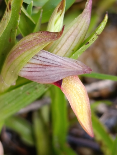
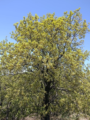
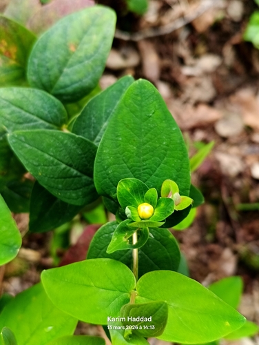
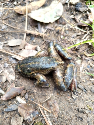
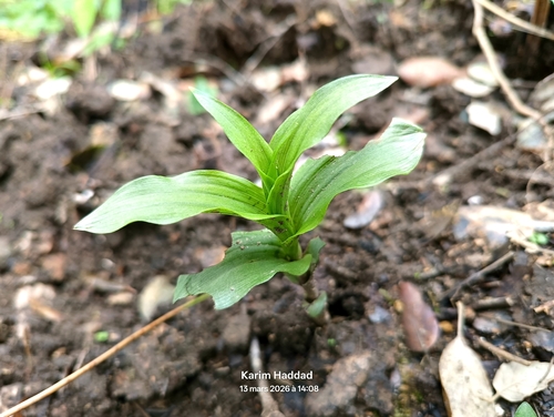
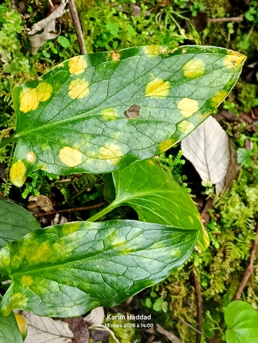


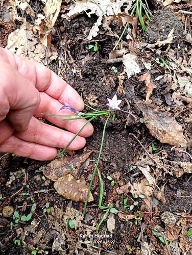
Research-grade observations from iNaturalist (within ~15 mi).
Events
Gallery
Sources
- • Wikipedia
- • Wikidata
- • Open-Meteo Air Quality (CAMS)
- • GBIF (Global Biodiversity Information Facility)
- • iNaturalist
- • Open-Meteo / sunrise-sunset.org
- • Wikipedia Pageviews API