Browse / Algeria / Laghouat / Laghouat
Laghouat
Laghouatcity

Laghouat
Total population
144,747
Founded
1058
Air quality index
Demographic figures from Office National des Statistiques (Algeria). Overview below cites Wikipedia and may reference a different year.
City facts
Facts from Wikidata (CC0).
Overview
Laghouat is the capital of the Laghouat Province, Algeria, 400 km (250 mi) south of the Algerian capital Algiers. Located in the Amour Range of the Saharan Atlas, the town is an oasis on the north edge of the Sahara Desert. It is an important administrative and military center and marketplace, and is known for rug and tapestry weaving.
Read more on WikipediaHistory & geography
History
Rock paintings and other archeological evidence indicate that people were living in the area during the Stone Age, from about 9,000 BC. It is believed that climatic change displaced these prehistoric peoples, as it later displaced Roman and Byzantine settlements. The town's location was noted in Roman records on a plateau called Tizgrarin. The inhabitants refused to submit to the Byzantines and convert to Christianity, and resisted paying tribute or taxes to the empires which followed, who sometimes called it a "rebel city". In the 14th century, Ibn Khaldoun reported the existence of a walled town which housed a faction of the "laghouat" tribe (called laghouat-ksel ), a branch of the Berber tribe of the Maghraouas. Over time, the majority of these peoples migrated westward, leaving only two factions in the city: the Berber-descended Sargins and the Ahlaf ("alliance") clans of Arabs. Various nomadic peoples also populated the town at times. In the 1650s the Moroccans established nominal control over the city, and in 1708 they sent out an expedition to create a tributary in Laghouat. The region was taken from the Moroccans, and became a tributary of the Deylik of Algiers in 1727. Other than occasional conflicts they regularly paid tribute annually of biannually to either the Bey of Oran, or the Bey of Titteri until 1828. The due tribute payment was cut short in 1830, as the Deylik of Algiers collapsed in 1830 following the French invasion of Algiers. Laghouat was a center of resistance against French colonial rule from 1831 under Sheikh Moussa Ibn Hassen El Misri. In 1852, France launched a punitive campaign to eradicate the resistance. The Siege of Laghouat began on 21 November and concluded with the storming of the town on 4 December. Several…
Geography
The town of Laghouat is a regional center in the Algerian depression, an oasis south of Algiers. It is built on the banks of the Wadi Mzee, which flows eastwards from the Amour Range and is one of a large number of seasonal streams that empty into Chott Melrhir. It is bordered to the north by the municipality of Sidi Makhlouf, to the west by Tadjemout and Kheneg, to the east the municipality of El Assafia, and to the south the municipality of Mekhareg. Laghouat has a cold desert climate (Köppen climate classification BWk). Rainfall is higher in winter than in summer. The average annual temperature in Laghouat is . About of precipitation falls annually. Rain falls irregularly, with severe droughts in some years. Sand dunes may encroach upon the town from the north in drought years, and have been countered with administrative buildings and a green belt of gardens around the city. The town relies on groundwater, which is abundant due to a large underground dam in Tadjmout, which is the largest of its kind in Africa and dates to the colonial period. It is also known for its mineral water, called milok water, which has attracted investment from a Spanish bottler.
Excerpted from the corresponding Wikipedia article (CC BY-SA).
Geography
Coordinates & boundaries from the US Census TIGER/Line shapefiles.
Climate
Air quality
Current readings from Open-Meteo Air Quality API (Copernicus CAMS European reanalysis).
Walkability
Amenities nearby
Wildlife & biodiversity
Most-observed species
- Cistanche violacea (Desf.) BeckCistanche violacea (Desf.) Beck · Magnoliopsida8
- Eurasian Collared-DoveStreptopelia decaocto (Frivaldszky, 1838) · Aves5
- Common RavenCorvus corax Linnaeus, 1758 · Aves4
- Astragalus armatus Willd.Astragalus armatus Willd. · Magnoliopsida4
- False SowthistleReichardia tingitana (L.) Roth · Magnoliopsida4
- Pied CrowCorvus albus Statius Muller, 1776 · Aves3
- Rock PigeonColumba livia J.F.Gmelin, 1789 · Aves3
- bladder dockRumex vesicarius L. · Magnoliopsida3
Citizen-science & research observations from the Global Biodiversity Information Facility (GBIF).
Earthquake history
Most recent
- M 4.5 — 2012-05-1826 km WSW of Aflou, Algeria
- M 3.7 — 2004-06-0110 km ESE of Aflou, Algeria
Events from the USGS Earthquake Catalog (global) (FDSN Event Web Service).
Photos
Sights & places nearby
Notable people from here


People born within ~10 km, from Wikidata (CC0). Click any name for their Wikipedia article.
Nearby places in Laghouat
- Dr Ain Mnakher422.6 mi away
- Bouadel425.3 mi away
- Skoura M'Daz427.3 mi away · pop. 8,713
- Dr Hamoudate430.8 mi away
- Penso (São Vicente)814.5 mi away · pop. 314
- Gondizalves817.3 mi away · pop. 1,441
- Aguiar829 mi away · pop. 546
- Staro Selo Topusko1050.4 mi away · pop. 154
- Gornji Žirovac1051.4 mi away · pop. 22
- Donji Dobretin1052.1 mi away · pop. 20
- Gornji Dobretin1052.2 mi away · pop. 9
- Podgorje1052.4 mi away · pop. 150
Geography & sun
Elevation, sunrise/sunset and daylight from Open-Meteo. Solar climatology from NASA POWER.
Nearby airports
Public attention
Pageview totals from the Wikimedia Pageviews API.
Books about Laghouat


Search results from Open Library.
Recent natural events nearby
Ground air-quality sensors
Recently spotted species
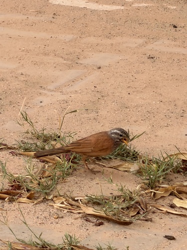
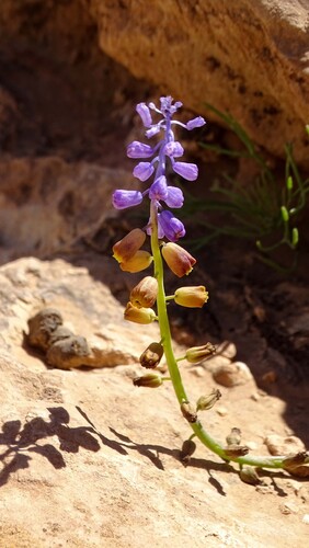
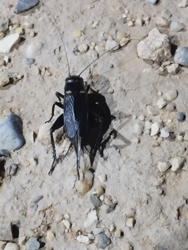
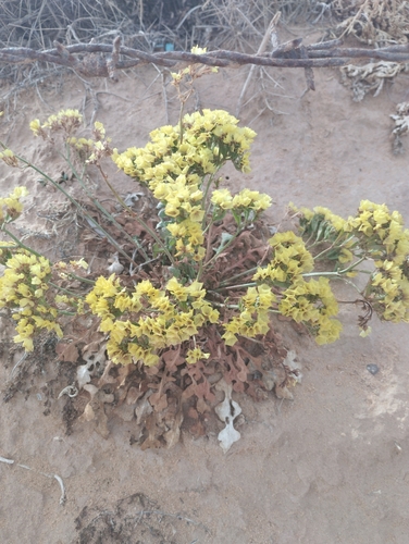
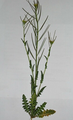
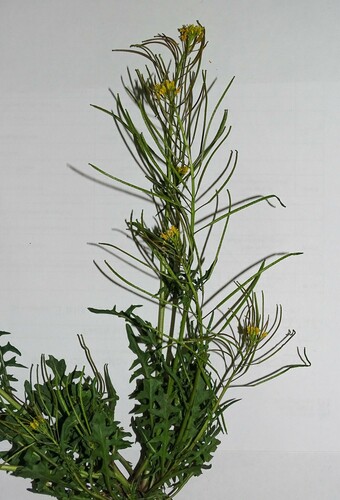
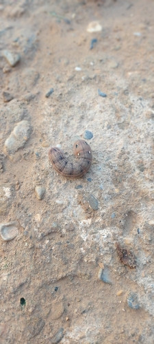
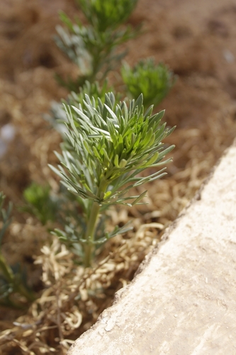
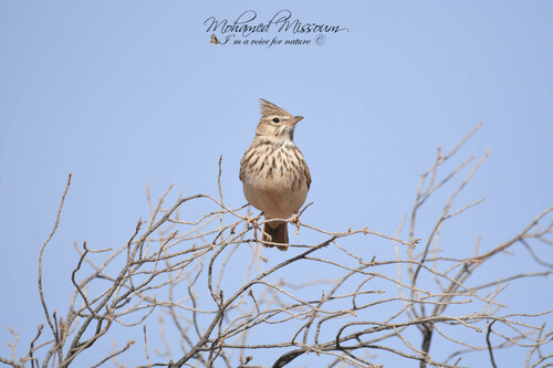
Research-grade observations from iNaturalist (within ~15 mi).
Events
Gallery
Sources
- • Wikipedia
- • Wikidata
- • Open-Meteo Air Quality (CAMS)
- • USGS Earthquake Catalog (global feed)
- • GBIF (Global Biodiversity Information Facility)
- • iNaturalist
- • Open-Meteo / sunrise-sunset.org
- • Wikipedia Pageviews API
- • Open Library