Browse / Algeria / Bouira / Lakhdaria
Lakhdaria
Bouiratown

Lakhdaria
Total population
59,746
Founded
1860
Demographic figures from Office National des Statistiques (Algeria). Overview below cites Wikipedia and may reference a different year.
City facts
Facts from Wikidata (CC0).
Overview
Lakhdaria, is a town in northern Algeria, in the Bouïra Province. It is located 50 miles (75 km) south east of Algiers. It is surrounded by the Kabylie mountains and by a 3-mile (4.8 km) long river named Oued Isser, passing by rocky mountains called the grottoes of Lakhdaira.
Read more on WikipediaHistory & geography
History
The town was named Palestro when it was founded in 1860, it was named in honour of the Franco-Piedmontese victory over Austria at Palestro in 1859 during the Second Italian War of Independence. It was renamed Lakhdaria after Algerian independence in honour of Mokrani Rabah Lakhdar, known as Si Lakhdar, a senior FLN leader during the Algerian War.
Excerpted from the corresponding Wikipedia article (CC BY-SA).
Geography
Coordinates & boundaries from the US Census TIGER/Line shapefiles.
Climate
Air quality
Walkability
Amenities nearby
Wildlife & biodiversity
Most-observed species
- OliveOlea europaea L. · Magnoliopsida14
- Indian-FigOpuntia ficus-indica (L.) Mill. · Magnoliopsida12
- Bermuda-buttercupOxalis pes-caprae L. · Magnoliopsida10
- Spiny BroomCalicotome spinosa (L.) Link · Magnoliopsida10
- Woody FleabaneDittrichia viscosa (L.) Greuter · Magnoliopsida10
- Mastic TreePistacia lentiscus L. · Magnoliopsida10
- Montpelier CistusCistus monspeliensis L. · Magnoliopsida9
- BorageBorago officinalis L. · Magnoliopsida9
Citizen-science & research observations from the Global Biodiversity Information Facility (GBIF).
Earthquake history
Most recent
- M 4.8 — 2025-03-1819 km SW of Lakhdaria, Algeria
- M 4.5 — 2024-10-1027 km NE of Arhribs, Algeria
- M 3.8 — 2023-06-196 km WSW of el hed, Algeria
- M 4 — 2022-12-07northern Algeria
- M 4.1 — 2022-11-2024 km WNW of Dellys, Algeria
- M 4.8 — 2022-11-1224 km NE of Berrouaghia, Algeria
Events from the USGS Earthquake Catalog (global) (FDSN Event Web Service).
Photos
Sights & places nearby
Notable people from here

People born within ~10 km, from Wikidata (CC0). Click any name for their Wikipedia article.
Nearby places in Bouira
- Pó722.9 mi away
- Anfeg890.4 mi away
- Kometnik-Zubići956.7 mi away · pop. 28
- Kometnik-Jorgići956.8 mi away · pop. 26
- Podgorje956.9 mi away · pop. 737
- Rezovačke Krčevine957.3 mi away · pop. 295
- Lozan957.4 mi away · pop. 440
- Pivnica Slavonska957.5 mi away · pop. 53
- Novi Antunovac957.5 mi away · pop. 103
- Mala Trapinska958.2 mi away · pop. 62
- Sovjak958.2 mi away · pop. 13
- Dvorska958.5 mi away · pop. 15
Geography & sun
Elevation, sunrise/sunset and daylight from Open-Meteo. Solar climatology from NASA POWER.
Nearby airports
Public attention
Pageview totals from the Wikimedia Pageviews API.
Books about this place
Recent natural events nearby
Ground air-quality sensors
Recently spotted species
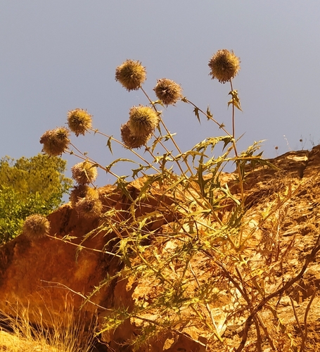
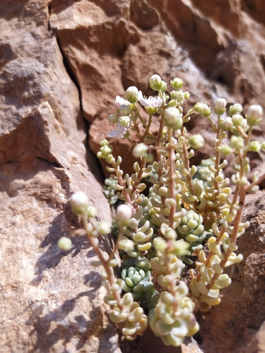
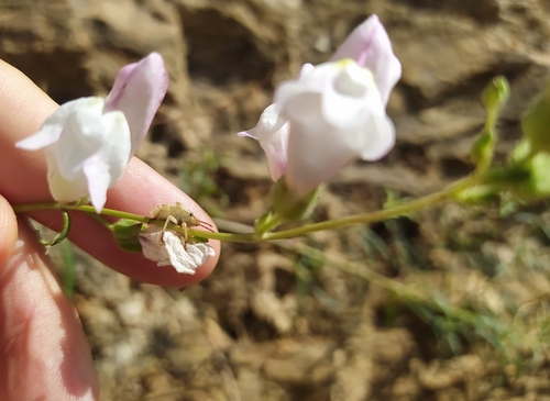
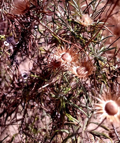
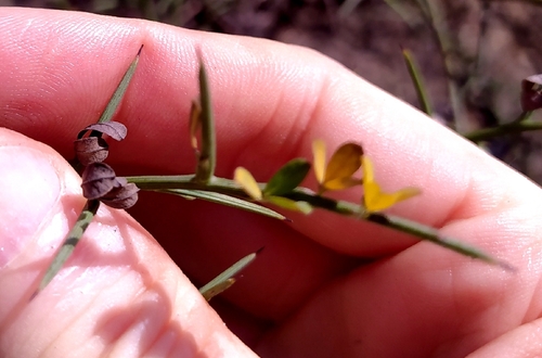
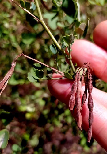
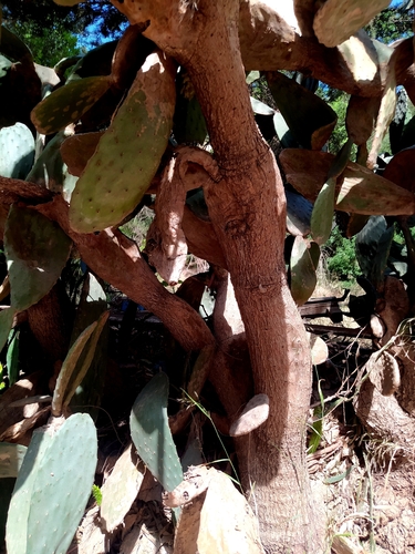
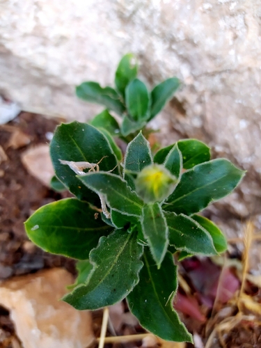
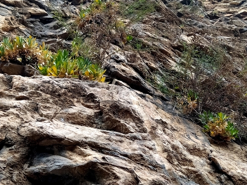
Research-grade observations from iNaturalist (within ~15 mi).
Events
Gallery
Sources
- • Wikipedia
- • Wikidata
- • USGS Earthquake Catalog (global feed)
- • GBIF (Global Biodiversity Information Facility)
- • iNaturalist
- • Open-Meteo / sunrise-sunset.org
- • Wikipedia Pageviews API