Browse / Algeria / Batna / Maafa
Maafa
Batnavillage
Total population
2,880
Demographic figures from Office National des Statistiques (Algeria). Overview below cites Wikipedia and may reference a different year.
City facts
Overview
The Maafa, the African Holocaust, the Holocaust of Enslavement, or the Black Holocaust are political neologisms popularized since 1988 to describe the history and ongoing effects of atrocities inflicted upon Black people worldwide. Of particular focus are those committed by non-Africans, which continue to the present day through imperialism, colonialism and other forms of oppression..
Read more on WikipediaHistory & geography
Geography
Coordinates & boundaries from the US Census TIGER/Line shapefiles.
Climate
Air quality
Walkability
Amenities nearby
Wildlife & biodiversity
Most-observed species
- Pale StonecropPetrosedum sediforme (Jacq.) Grulich · Magnoliopsida5
- Astragalus armatus Willd.Astragalus armatus Willd. · Magnoliopsida4
- Algerian RosemarySalvia jordanii J.B.Walker · Magnoliopsida3
- Desert black tipElphinstonia charlonia (Donzel, 1842) · Insecta3
- Henbit Dead-nettleLamium amplexicaule L. · Magnoliopsida3
- White HorehoundMarrubium vulgare L. · Magnoliopsida3
- Elephant ThistleSilybum eburneum Coss. & Durieu · Magnoliopsida3
- Erodium guttatum (Desf.) Willd.Erodium guttatum (Desf.) Willd. · Magnoliopsida3
Citizen-science & research observations from the Global Biodiversity Information Facility (GBIF).
Earthquake history
Most recent
- M 4.7 — 2026-06-036 km NNW of Draa Klalouche, Algeria
- M 4.5 — 2025-10-1922 km ESE of Tazoult-Lambese, Algeria
- M 4.2 — 2022-04-1323 km WNW of Zeribet el Oued, Algeria
- M 4.6 — 2021-03-159 km WNW of Arris, Algeria
- M 4.7 — 2021-02-2424 km SSW of Salah Bey, Algeria
- M 4.5 — 2020-07-0418 km NNE of Batna, Algeria
Events from the USGS Earthquake Catalog (global) (FDSN Event Web Service).
Photos
Sights & places nearby
Notable people from here
Nearby places in Batna
Geography & sun
Elevation, sunrise/sunset and daylight from Open-Meteo. Solar climatology from NASA POWER.
Nearby airports
Public attention
Pageview totals from the Wikimedia Pageviews API.
Books about this place
Recent natural events nearby
Ground air-quality sensors
Recently spotted species
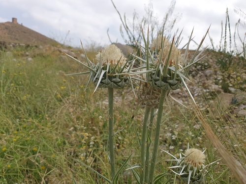
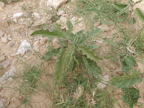
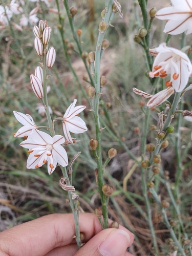
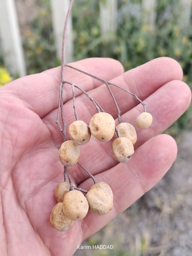
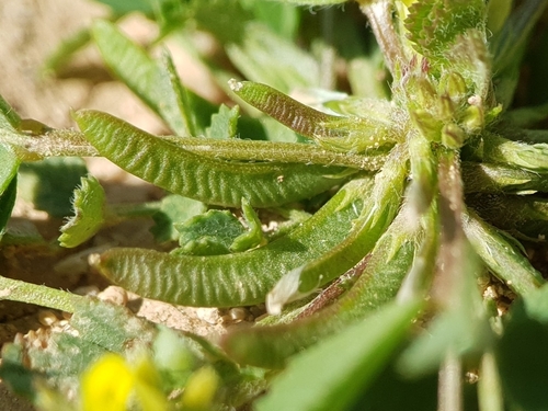
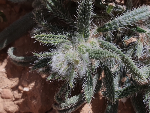
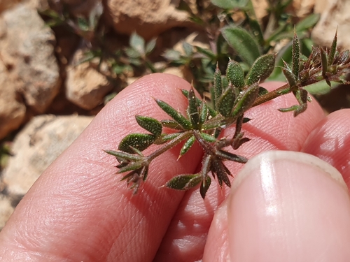
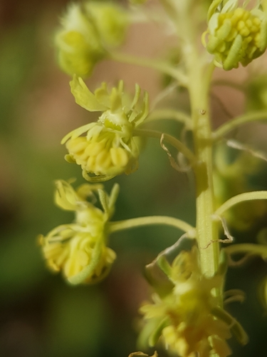
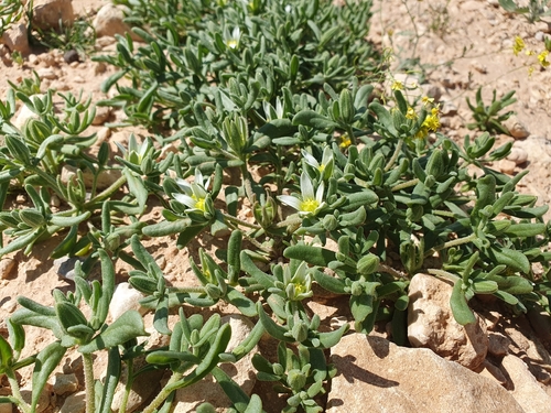
Research-grade observations from iNaturalist (within ~15 mi).
Events
Gallery
Sources
- • Wikipedia
- • Wikidata
- • USGS Earthquake Catalog (global feed)
- • GBIF (Global Biodiversity Information Facility)
- • iNaturalist
- • Open-Meteo / sunrise-sunset.org
- • Wikipedia Pageviews API