Browse / Algeria / Mascara / Mactaa Douz
Mactaa Douz
Mascaravillage
Total population
9,105
Demographic figures from Office National des Statistiques (Algeria). Overview below cites Wikipedia and may reference a different year.
City facts
Overview
Mocta Douz is a town and commune in Mascara Province, Algeria. Mocta Douz is the site of the terminus of the Mocta Douz-Beni Saf gas pipeline.
Read more on WikipediaHistory & geography
Geography
Coordinates & boundaries from the US Census TIGER/Line shapefiles.
Climate
Air quality
Walkability
Amenities nearby
Wildlife & biodiversity
Most-observed species
- Red-crested PochardNetta rufina (Pallas, 1773) · Aves6
- Lesser KestrelFalco naumanni J.G.Fleischer, 1818 · Aves5
- Eurasian KestrelFalco tinnunculus Linnaeus, 1758 · Aves4
- OspreyPandion haliaetus (Linnaeus, 1758) · Aves3
- Peregrine FalconFalco peregrinus Tunstall, 1771 · Aves2
- Great Cormorant/European ShagPhalacrocorax carbo (Linnaeus, 1758) · Aves2
- Little OwlAthene noctua (Scopoli, 1769) · Aves2
- Common ShelduckTadorna tadorna (Linnaeus, 1758) · Aves2
Citizen-science & research observations from the Global Biodiversity Information Facility (GBIF).
Earthquake history
Most recent
- M 4.6 — 2024-02-1423 km N of Mascara, Algeria
- M 4.4 — 2022-07-1660 km NNW of Mostaganem, Algeria
- M 4.6 — 2022-06-2614 km NW of Aïn el Bya, Algeria
- M 4.5 — 2019-10-188 km W of El Amria, Algeria
- M 4.7 — 2018-04-2310 km NNW of Mostaganem, Algeria
- M 4.2 — 2015-03-1732 km ENE of Mostaganem, Algeria
Events from the USGS Earthquake Catalog (global) (FDSN Event Web Service).
Photos
Sights & places nearby
Notable people from here
Nearby places in Mascara
- Douar Chareb Errih2.2 mi away
- Yallou2.3 mi away
- Benchenine2.6 mi away · pop. 6,000
- Bouhenni3.9 mi away · pop. 11,715
- Sidi Abdelmoumen4.7 mi away · pop. 14,600
- Zoufria5 mi away
- Mohammadia6.4 mi away · pop. 84,700
- Mactaa Menour7 mi away
- Douar Belkheir8.5 mi away
- Sahaouria8.8 mi away
- Ras Ain Amirouche9.4 mi away
- Sidi Abdelkader Bou Adjemi9.4 mi away
Geography & sun
Elevation, sunrise/sunset and daylight from Open-Meteo. Solar climatology from NASA POWER.
Nearby airports
Public attention
Pageview totals from the Wikimedia Pageviews API.
Books about this place
Recent natural events nearby
Ground air-quality sensors
Recently spotted species
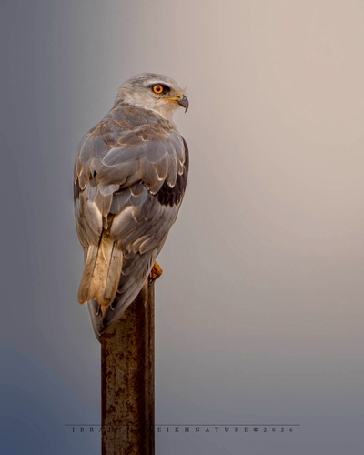
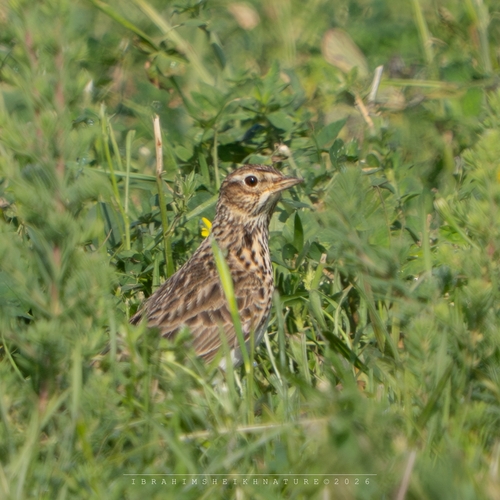
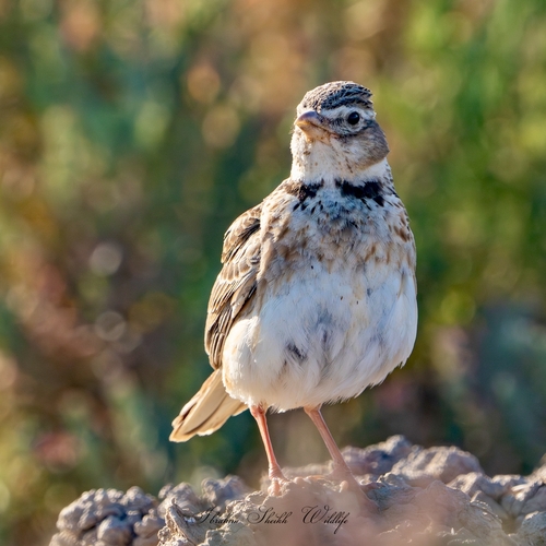
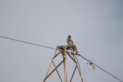
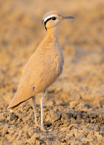
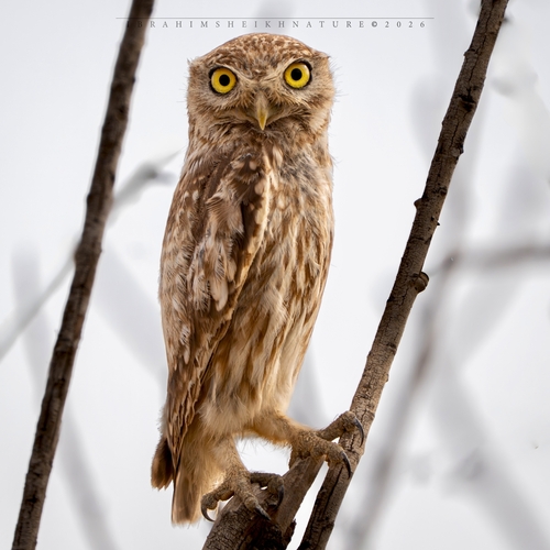
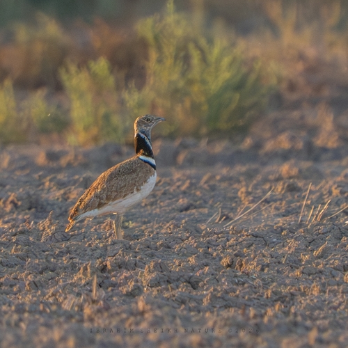
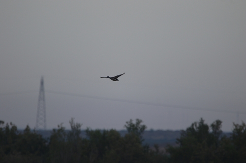
Research-grade observations from iNaturalist (within ~15 mi).
Events
Gallery
Sources
- • Wikipedia
- • Wikidata
- • USGS Earthquake Catalog (global feed)
- • GBIF (Global Biodiversity Information Facility)
- • iNaturalist
- • Open-Meteo / sunrise-sunset.org
- • Wikipedia Pageviews API