Browse / Algeria / Tlemcen / Maghnia
Maghnia
Tlemcencity

Maghnia
Total population
114,634
Demographic figures from Office National des Statistiques (Algeria). Overview below cites Wikipedia and may reference a different year.
City facts
Facts from Wikidata (CC0).
Overview
Maghnia is a town in Tlemcen Province, northwestern Algeria. It is the second most populated town in Tlemcen Province, after Tlemcen. The current population is over 100,000.
Read more on WikipediaHistory & geography
History
Archaeologists have found evidence of prehistoric people in the area, who were displaced by the Phoenicians. The remnants of burned Ancient Roman military posts called Numerus Syrorum were discovered by the French army in 1836, when they entered the area; these posts were occupied, according to the inscriptions, by the numerus Severianus Alexandrinus Syrorum, a unit of Syrian archers. As such, it was the westernmost outpost of Mauretania Caesariensis. Due to its convenient geographical location—within the watershed of Wadi Tafna on the route to Fes from Tlemcen, Maghnia later served as a marketplace for regional nomads. The Berbers named the place Lalla Marnia (Lalla Maghnia), after a local saint buried in the vicinity. Her mausoleum was probably built in the 18th century.
Excerpted from the corresponding Wikipedia article (CC BY-SA).
Geography
Coordinates & boundaries from the US Census TIGER/Line shapefiles.
Climate
Air quality
Walkability
Amenities nearby
Wildlife & biodiversity
Earthquake history
Photos
Sights & places nearby
Notable people from here


People born within ~10 km, from Wikidata (CC0). Click any name for their Wikipedia article.
Geography & sun
Elevation, sunrise/sunset and daylight from Open-Meteo. Solar climatology from NASA POWER.
Nearby airports
Public attention
Pageview totals from the Wikimedia Pageviews API.
Books about Maghnia
Search results from Open Library.
Recent natural events nearby
Ground air-quality sensors
Recently spotted species
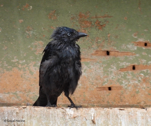
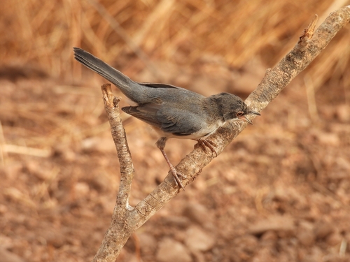
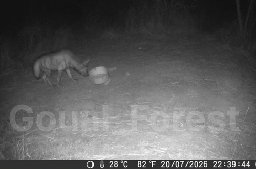
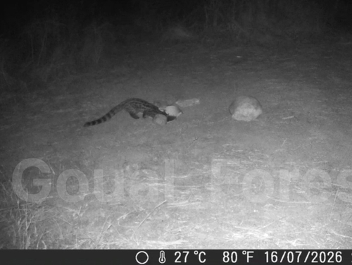
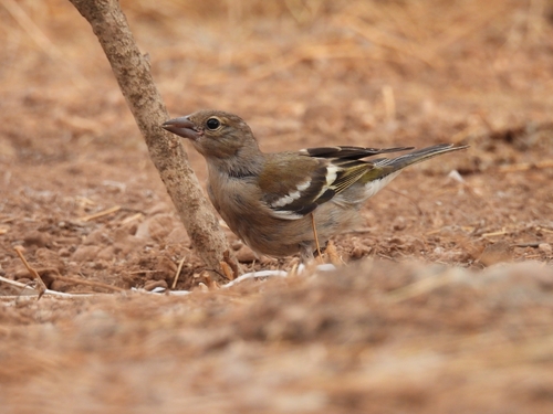
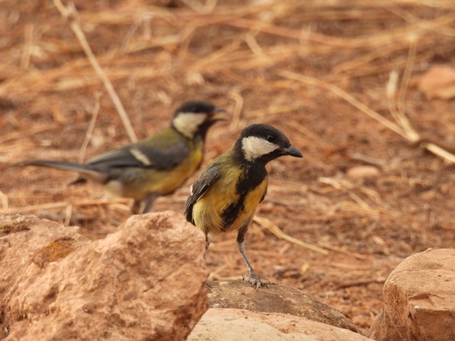
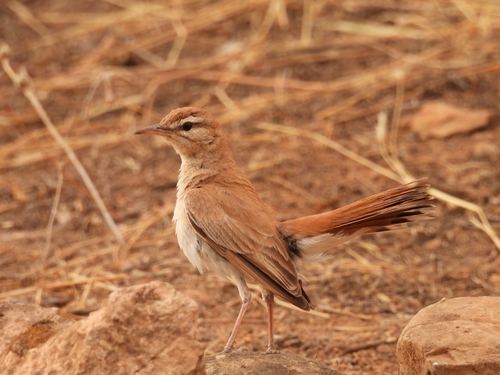
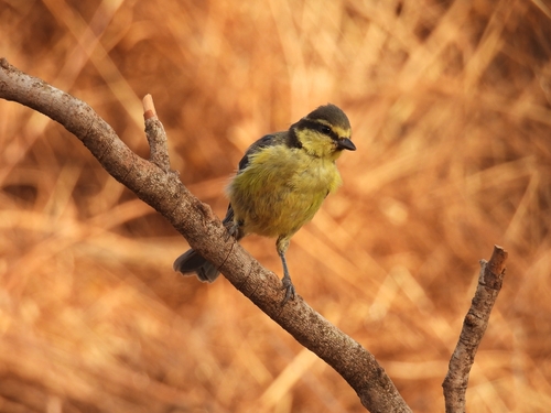
Research-grade observations from iNaturalist (within ~15 mi).
Events
Gallery
Sources
- • Wikipedia
- • Wikidata
- • iNaturalist
- • Open-Elevation
- • Open-Meteo / sunrise-sunset.org
- • Wikipedia Pageviews API
- • Open Library