Browse / Algeria / Batna / Merouana
Merouana
Batnatown

Merouana
Total population
38,656
Demographic figures from Office National des Statistiques (Algeria). Overview below cites Wikipedia and may reference a different year.
City facts
Facts from Wikidata (CC0).
Overview
Merouana is a city in Batna Province, Algeria. It is situated around 40 km from Batna City, and is inhabited by the Chaoui Berbers. Merouana is one of the oldest local daïras (districts). It is the capital of the Belzma Plain and Belzma National Park.
Read more on WikipediaHistory & geography
Geography
Coordinates & boundaries from the US Census TIGER/Line shapefiles.
Climate
Air quality
Walkability
Amenities nearby
Wildlife & biodiversity
Earthquake history
Photos
Sights & places nearby
Notable people from here


People born within ~10 km, from Wikidata (CC0). Click any name for their Wikipedia article.
Nearby places in Batna
- Ali N'Mer2 mi away
- Mechtat Cheddi5.5 mi away
- Hassi Ouled Mehenna5.7 mi away
- Dekhlet Ben Kiyal5.7 mi away
- Ouled Menaa6.6 mi away
- Mechtat Knou Zitoune6.6 mi away
- Taxlent6.6 mi away · pop. 8,605
- Mechtat Sakhrat7.1 mi away
- Chaabet Ouled Chelih8.8 mi away
- R'Hawet8.8 mi away
- Mechtat H'Djazet8.8 mi away
- Chaâbet Tinibaouine11.6 mi away
Geography & sun
Elevation, sunrise/sunset and daylight from Open-Meteo. Solar climatology from NASA POWER.
Nearby airports
Public attention
Pageview totals from the Wikimedia Pageviews API.
Books about this place
Recent natural events nearby
Ground air-quality sensors
Recently spotted species
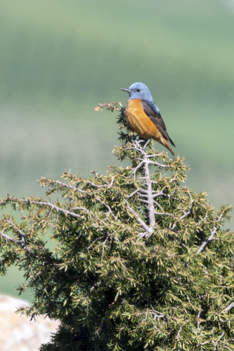
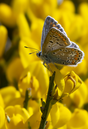
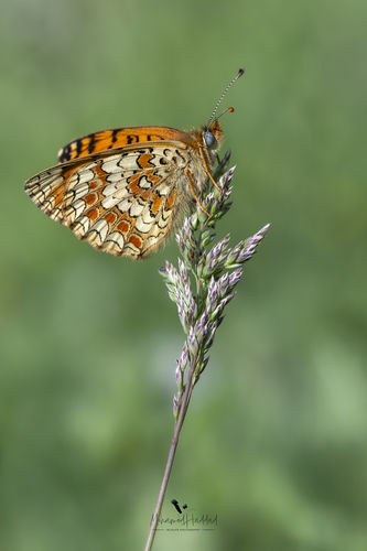
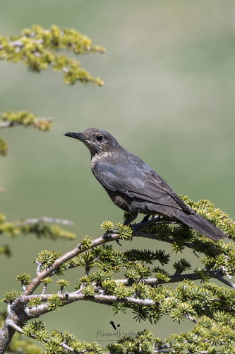
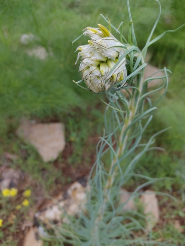
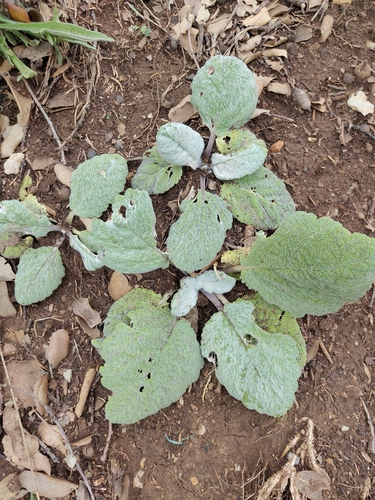
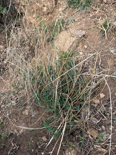
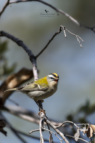
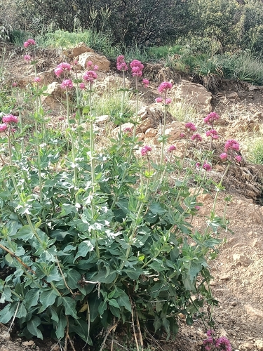
Research-grade observations from iNaturalist (within ~15 mi).
Events
Gallery
Sources
- • Wikipedia
- • Wikidata
- • iNaturalist
- • Open-Meteo / sunrise-sunset.org
- • Wikipedia Pageviews API