Browse / Algeria / Djelfa / Messaad
Messaad
Djelfatown
Total population
114,625
Air quality index
Demographic figures from Office National des Statistiques (Algeria). Overview below cites Wikipedia and may reference a different year.
City facts
Overview
Situated in Djelfa, Algeria, Messaad is a sizeable town. On the world map it falls within the Eastern Hemisphere, specifically at 34.154°, 3.492°. Public datasets list a population of roughly 114,625. Solar-resource estimates put the area at about 1,983 kWh/m² of solar irradiance per year with sunshine for roughly 78% of daylight hours. The latitude suggests warm summers and cool winters. Further detail — demographics, climate, nearby amenities and natural-hazard data — is compiled below from public open-data sources.
Summary composed automatically from structured open data on this page. See our Terms for details.
History & geography
Geography
Coordinates & boundaries from the US Census TIGER/Line shapefiles.
Climate
Air quality
Current readings from Open-Meteo Air Quality API (Copernicus CAMS European reanalysis).
Walkability
Amenities nearby
Wildlife & biodiversity
Most-observed species
- Werner's Diadem SnakeSpalerosophis dolichospilus (Werner, 1923) · Squamata1
- Desert LacertaMesalina guttulata (Lichtenstein, 1823) · Squamata1
- Forskal Sand SnakePsammophis schokari (Forskal, 1775) · Squamata1
Citizen-science & research observations from the Global Biodiversity Information Facility (GBIF).
Earthquake history
Most recent
- M 4.6 — 2026-06-2829 km NW of Djelfa, Algeria
- M 4.1 — 2008-05-149 km SW of Dar Chioukh, Algeria
- M 4.2 — 2006-12-3111 km SW of Dar Chioukh, Algeria
- M 3.5 — 2006-12-317 km W of Dar Chioukh, Algeria
- M 4.8 — 2006-12-3010 km NE of Djelfa, Algeria
- M 4.1 — 2006-08-2925 km E of Dar Chioukh, Algeria
Events from the USGS Earthquake Catalog (global) (FDSN Event Web Service).
Photos
Sights & places nearby
Notable people from here
Nearby places in Djelfa
- El Hania Ouled Salem2 mi away
- Haniet Kaabacha2.6 mi away
- El Gahra3.3 mi away
- Maguied11.3 mi away
- عمورة ⵄⴻⵎⵓⵔⴰ25.4 mi away
- عين وزغار ⵄⵉⵏ ⵡⴻⵥⵖⴰⵔ30.6 mi away
- أم الهاشم ⵓⵎ ⵍⵀⴰⵛⴻⵎ38 mi away
- Guettara97 mi away
- Abaças781.7 mi away
- Carrazedo de Montenegro784.3 mi away · pop. 1,620
- Adoufe788.1 mi away
- Faiões792.1 mi away · pop. 873
Geography & sun
Elevation, sunrise/sunset and daylight from Open-Meteo. Solar climatology from NASA POWER.
Nearby airports
Public attention
Books about this place
Recent natural events nearby
Ground air-quality sensors
Recently spotted species
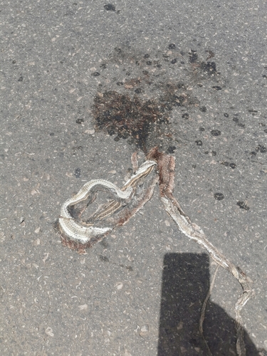
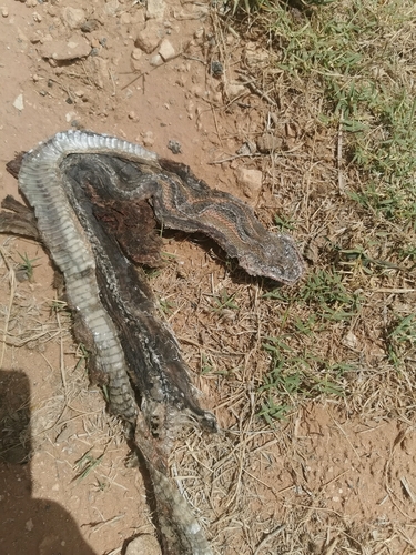
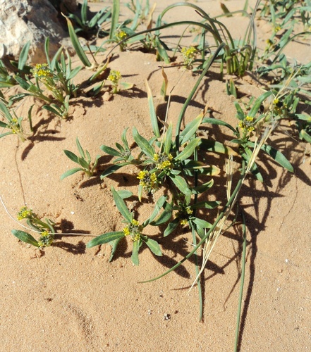
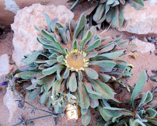
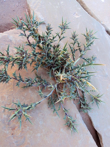
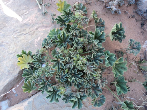
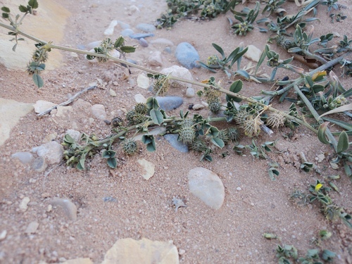
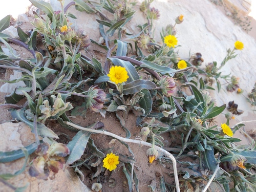
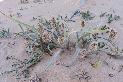
Research-grade observations from iNaturalist (within ~15 mi).
Events
Gallery
Sources
- • Wikidata
- • Open-Meteo Air Quality (CAMS)
- • USGS Earthquake Catalog (global feed)
- • GBIF (Global Biodiversity Information Facility)
- • iNaturalist
- • Open-Meteo / sunrise-sunset.org