Browse / Algeria / Mostaganem / Mostaganem
Mostaganem
Mostaganemcity

Mostaganem
Total population
145,696
Demographic figures from Office National des Statistiques (Algeria). Overview below cites Wikipedia and may reference a different year.
City facts
Sister cities
Facts from Wikidata (CC0).
Overview
Mostaganem is the capital city of Mostaganem province in northwest Algeria, and a major port on the Gulf of Arzew in the Mediterranean Sea. The city is located 72 kilometres (45 mi) east-northeast of Oran and about 280 kilometres (170 mi) southwest of Algiers.
Read more on WikipediaHistory & geography
History
Mostaganem reputedly has origins dating back to Punic and Roman times, and was ruled by the Zirid dynasty between 973 and 1146 CE. It was then conquered by the Almoravid dynasty and reached its high point of power under Yusuf ibn Tashfin. The city was later ruled by the Zayyanid dynasty of Tlemcen, who were conquered by the Marinid dynasty of Fes until the Zayyanid dynasty took back control of the city. In the 16th century the town resisted a Spanish invasion but was captured by the Ottoman admiral Hayreddin Barbarossa and became a harbor for Mediterranean corsairs, as well as an important commercial port. By 1700 it had come under Ottoman rule, but in 1833 the city was taken by France and a garrison established. Algeria became independent in 1962 and Mostaganem is now the second-largest city in the country's northwest, after Oran, and Algeria's fourth-largest port. As of the 2019 census it had a population of 406,190.
Geography
The city of Mostaganem is divided into two regions by the ravine of the Wadi Ain Sefra: the modern Eastern quarter, and the older Western quarter encompassing the historic Muslim city of Tidgit. The port and beaches occupy the south. The city tripled in size between 1962 and 2004, spreading over of coastal zone. This growth, in combination with agricultural and industrial activities, has caused environmental concerns.
Excerpted from the corresponding Wikipedia article (CC BY-SA).
Geography
Coordinates & boundaries from the US Census TIGER/Line shapefiles.
Climate
Air quality
Walkability
Amenities nearby
Wildlife & biodiversity
Most-observed species
- Northern GannetMorus bassanus (Linnaeus, 1758) · Aves55
- Black-headed GullChroicocephalus ridibundus (Linnaeus, 1766) · Aves55
- Audouin's GullIchthyaetus audouinii (Payraudeau, 1826) · Aves37
- Great Cormorant/European ShagPhalacrocorax carbo (Linnaeus, 1758) · Aves35
- Mediterranean GullIchthyaetus melanocephalus (Temminck, 1820) · Aves31
- Yellow-legged GullLarus michahellis J.F.Naumann, 1840 · Aves28
- Little Egret/Western Reef-HeronEgretta garzetta (Linnaeus, 1766) · Aves26
- Sandwich TernThalasseus sandvicensis (Latham, 1787) · Aves26
Citizen-science & research observations from the Global Biodiversity Information Facility (GBIF).
Earthquake history
Most recent
- M 4.6 — 2024-02-1423 km N of Mascara, Algeria
- M 4.4 — 2022-07-1660 km NNW of Mostaganem, Algeria
- M 4.6 — 2022-06-2614 km NW of Aïn el Bya, Algeria
- M 4.7 — 2018-04-2310 km NNW of Mostaganem, Algeria
- M 4.2 — 2015-03-1732 km ENE of Mostaganem, Algeria
- M 4.1 — 2014-08-2224 km SSE of Mostaganem, Algeria
Events from the USGS Earthquake Catalog (global) (FDSN Event Web Service).
Photos
Sights & places nearby
Notable people from here
Nearby places in Mostaganem
- Mazagran2.4 mi away · pop. 22,016
- Sayada2.8 mi away
- Hassi Mameche4.8 mi away · pop. 32,903
- Oureah5.2 mi away
- Kheireddine5.7 mi away
- Ain Sidi Cherif6.9 mi away
- Ain Boudinar7.8 mi away
- Stidia8.4 mi away · pop. 11,965
- Nedjadjra8.4 mi away
- Douar Ouled Tahar8.8 mi away
- Ain Nouissy9 mi away · pop. 14,530
- Sirat11.8 mi away
Geography & sun
Elevation, sunrise/sunset and daylight from Open-Meteo. Solar climatology from NASA POWER.
Nearby airports
Public attention
Pageview totals from the Wikimedia Pageviews API.
Books about Mostaganem


Search results from Open Library.
Recent natural events nearby
Ground air-quality sensors
Recently spotted species
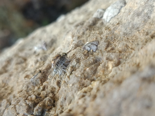
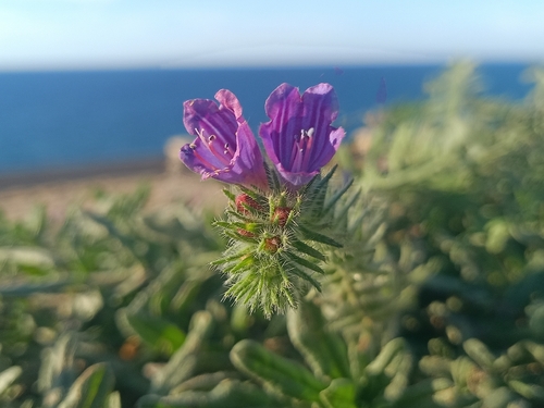
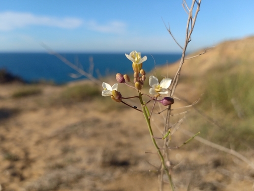
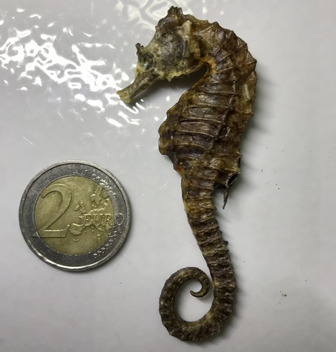
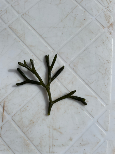
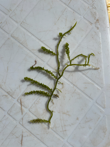
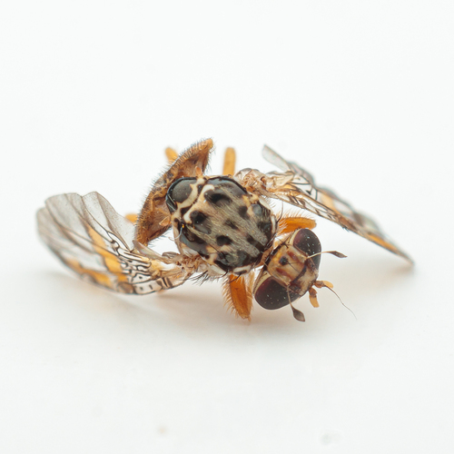
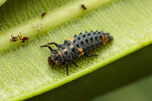
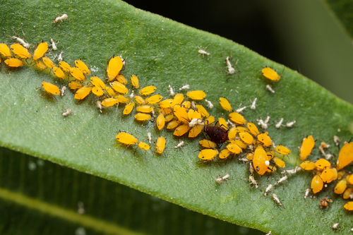
Research-grade observations from iNaturalist (within ~15 mi).
Events
Gallery
Sources
- • Wikipedia
- • Wikidata
- • USGS Earthquake Catalog (global feed)
- • GBIF (Global Biodiversity Information Facility)
- • iNaturalist
- • Open-Meteo / sunrise-sunset.org
- • Wikipedia Pageviews API
- • Open Library