Browse / Algeria / Batna / N'Gaous
N'Gaous
Batnatown

N'Gaous
Total population
29,504
Demographic figures from Office National des Statistiques (Algeria). Overview below cites Wikipedia and may reference a different year.
City facts
Facts from Wikidata (CC0).
Overview
N'Gaous is an ancient town in northeastern Algeria,
Read more on WikipediaHistory & geography
History
Although of great antiquity, N'Gaous has not received much historical attention. N'Gaous is the site of the ancient city of Nicives or Nicivibus. Located in the late Roman province of Numidia, and which flourished through the Vandal Kingdom and Roman Empire into late antiquity. Nicives was deemed important enough to serve for a period as a suffragan bishopric. In the Middle Ages the town was praised by travelers and noted for its nuts, apricot orchards and olive trees. Still known for its fruit, it has become center for it production since the introduction of abundant water, and the orchards, and this is contained in some travel books.
Excerpted from the corresponding Wikipedia article (CC BY-SA).
Geography
Coordinates & boundaries from the US Census TIGER/Line shapefiles.
Climate
Air quality
Walkability
Amenities nearby
Wildlife & biodiversity
Most-observed species
- Bath WhitePontia daplidice (Linnaeus, 1758) · Insecta2
- Carduncellus pinnatus (Desf.) DC.Carduncellus pinnatus (Desf.) DC. · Magnoliopsida2
- Arab MantisBlepharopsis mendica (Fabricius, 1775) · Insecta1
- Brown Emerald DamselflySympecma fusca (Vander Linden, 1820) · Insecta1
- Epaulet SkimmerOrthetrum chrysostigma (Burmeister, 1839) · Insecta1
- Orange-winged dropwing, Scarlet rock glider, Kirby's dropwingTrithemis kirbyi Selys, 1891 · Insecta1
- GeometricianGrammodes stolida Fabricius, 1775 · Insecta1
- king's-spearAsphodeline lutea (L.) Rchb. · Liliopsida1
Citizen-science & research observations from the Global Biodiversity Information Facility (GBIF).
Earthquake history
Most recent
- M 4.7 — 2026-06-036 km NNW of Draa Klalouche, Algeria
- M 4.5 — 2025-10-1922 km ESE of Tazoult-Lambese, Algeria
- M 4.3 — 2024-04-2051 km SSE of M’sila, Algeria
- M 4.6 — 2021-03-159 km WNW of Arris, Algeria
- M 4.7 — 2021-02-2424 km SSW of Salah Bey, Algeria
- M 4.5 — 2020-07-0418 km NNE of Batna, Algeria
Events from the USGS Earthquake Catalog (global) (FDSN Event Web Service).
Photos
Sights & places nearby
Notable people from here


People born within ~10 km, from Wikidata (CC0). Click any name for their Wikipedia article.
Nearby places in Batna
- Chaâbet Tinibaouine6.2 mi away
- Ouled Khellaf8.3 mi away
- Taxlent11.2 mi away · pop. 8,605
- Mechtat Chouafia15.6 mi away
- Mechtat Cheddi16.2 mi away
- Mechtat H'Djazet16.5 mi away
- R'Hawet17.2 mi away
- Ali N'Mer18.7 mi away
- Mechtat Tifliouine19.8 mi away
- Mechtat Sakhrat20 mi away
- Mechtat Lagmane21.1 mi away
- Chaabet Ouled Chelih22 mi away
Geography & sun
Elevation, sunrise/sunset and daylight from Open-Meteo. Solar climatology from NASA POWER.
Nearby airports
Public attention
Pageview totals from the Wikimedia Pageviews API.
Books about this place
Recent natural events nearby
Ground air-quality sensors
Recently spotted species
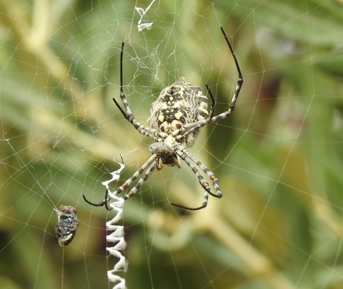
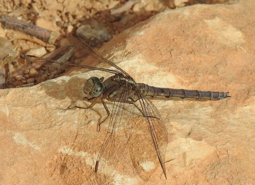
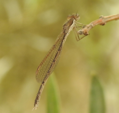
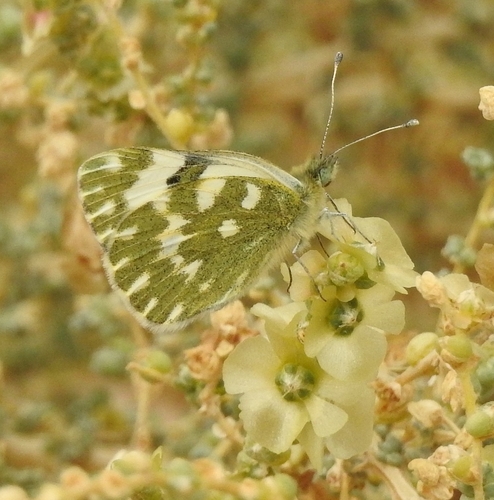
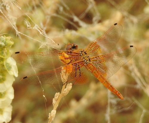
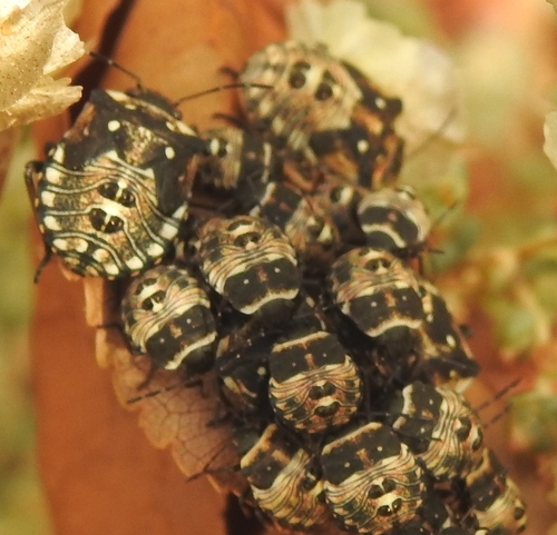


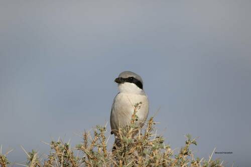
Research-grade observations from iNaturalist (within ~15 mi).
Events
Gallery
Sources
- • Wikipedia
- • Wikidata
- • USGS Earthquake Catalog (global feed)
- • GBIF (Global Biodiversity Information Facility)
- • iNaturalist
- • Open-Meteo / sunrise-sunset.org
- • Wikipedia Pageviews API