Browse / Algeria / El M'Ghair / N'Sigha
N'Sigha
El M'Ghairvillage
No image yet
Elevation-18 m
Coordinates34.02°, 5.95°
Demographic figures from Office National des Statistiques (Algeria). Overview below cites Wikipedia and may reference a different year.
Loading additional data from public sources…0 / 11
CensusWikipediaWeatherPlacesPeopleEnvironmentHealth & SchoolsRelatedGeography & CultureLive MonitoringEvents & Gallery
0% completeCity facts
Elevation
-18 m
Facts from Wikidata (CC0).
Overview
N'Sigha is a village in the commune of El M'Ghair, in El M'Ghair District, El M'Ghair Province, Algeria. The village is located on the Biskra-Touggourt railway 8 kilometres (5.0 mi) north of El M'Ghair.
Read more on WikipediaHistory & geography
Geography
Latitude
34.0167
Longitude
5.9470
Water area
—
Coordinates & boundaries from the US Census TIGER/Line shapefiles.
Climate
Air quality
Walkability
Amenities nearby
Wildlife & biodiversity
Earthquake history
Photos
Sights & places nearby
Notable people from here

Belgacem Haba
Algerian scientist and researcher

Nadjib Baouia
Algerian and French footballer
T
Tarek Zeghidi
association football player
People born within ~10 km, from Wikidata (CC0). Click any name for their Wikipedia article.
Geography & sun
Nearby airports
Public attention
Books about this place
Recent natural events nearby
Ground air-quality sensors
Recently spotted species
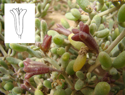
Tetraena gaetula
Tetraena gaetula
Seen 2024-12-29
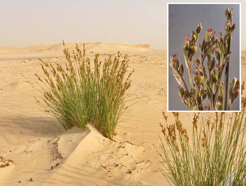
Salt Rush
Juncus rigidus
Seen 2024-01-10
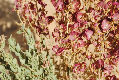
Atriplex mollis
Atriplex mollis
Seen 2020-11-10
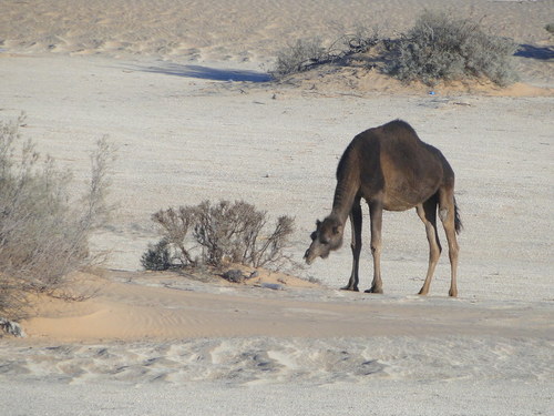
Dromedary Camel
Camelus dromedarius
Seen 2014-12-19
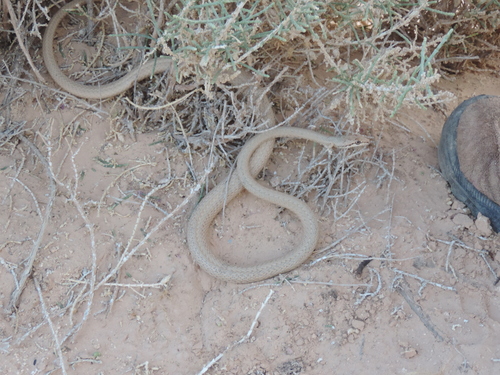
Forskal Sand Snake
Psammophis schokari
Seen 2014-05-25
Research-grade observations from iNaturalist (within ~15 mi).
Events
Gallery
Sources
- • Wikipedia
- • Wikidata
- • iNaturalist