Browse / Algeria / Tlemcen / Nedroma
Nedroma
Tlemcentown

Nedroma
Total population
32,498
Demographic figures from Office National des Statistiques (Algeria). Overview below cites Wikipedia and may reference a different year.
City facts
Facts from Wikidata (CC0).
Overview
Nedroma is a city in Tlemcen Province, in northwestern Algeria, about 77 kilometres (48 mi) from Tlemcen. Once the capital of Trara, it was built on the ruins of a Berber town by Abd al-Mu'min the Almohad caliph. It has a great Islamic history, with its Great Mosque of Nedroma once containing the earliest surviving Almoravid minbar. Nedroma became a UNESCO World Heritage in 2002 for its cultural importance.
Read more on WikipediaHistory & geography
History
Many families of Andalusian and Moorish origin sought refuge in this city during the Reconquista. In the book Al-Istibsar fi 'agaib al-Amsar, written in the late 12th century, the author described Nedroma as: "A beautiful city with abundant crops and fruits, and its prices are inexpensive. It has fertile plains and many farms. The city is about 10 miles from the sea. On its coast, there is a flowing river rich in fruit-bearing trees. It also has a safe and well-frequented harbor." At the beginning of the 16th century, Nedroma became an important textile center, specializing in cotton wovens and blankets. Nedroma, although far from Algiers, was an administrative center of the Trara, extending its influence to neighboring towns. The Andalusian influence is also due to the second wave of Morisco refugees from Spain, following the decree of Expulsion of the Moriscos in 1609. Spanish-Arab philologist Guillermo Rittwagen described the city as having maintained its Andalusian heritage. At the beginning of the 19th century, it had 2,500 to 3,000 inhabitants, it was among the small towns of precolonial Algeria like Kalaa and Mazouna. Its population is made up notably of exiles from Spain and a minority of Jews Once the capital of Trara, it was built on the ruins of a Berber town by Abd al-Mu'min the Almohad caliph, who himself was a native of the neighboring mountains. the town has a great history of Islam. The earliest surviving Almoravid minbar, dated to around A.H. 479, once belonged to the Great Mosque of Nedroma. It is now on display in the National Museum of Antiquities and Islamic Art in Algiers. In the 1930s Ulama organizations, particularly the Boy Scouts sprang up in Nedroma and other ancient cities of the interior such as Tlemcen and Constantine. Riots broke…
Geography
Nedroma is situated to the north of the Trara Hills, from Tlemcen, and about west of Algiers. The N99 highway passes south–north through the town, connecting it to Maghnia in the south and Ghazaouet on the coast. The W100 road leads to El Houanet in the southwest, and the W38 road leads to Aïn Kebira and Bentalha in the northeast.
Excerpted from the corresponding Wikipedia article (CC BY-SA).
Geography
Coordinates & boundaries from the US Census TIGER/Line shapefiles.
Climate
Air quality
Walkability
Amenities nearby
Wildlife & biodiversity
Earthquake history
Photos
Sights & places nearby
Notable people from here


People born within ~10 km, from Wikidata (CC0). Click any name for their Wikipedia article.
Nearby places in Tlemcen
- Sabra17.8 mi away · pop. 28,555
- Zalboun20.8 mi away
- Muhammad Salah21.1 mi away
- Dar Mtaa el Anabra21.3 mi away
- Ain Taslit39.2 mi away
- Meinedo557.2 mi away · pop. 4,052
- Casais560.1 mi away · pop. 1,401
- Ferreiró570.5 mi away
- Veli Rat1082.7 mi away · pop. 91
- Soline1083.9 mi away · pop. 59
- Božava1085 mi away · pop. 118
- Brgulje1085.6 mi away · pop. 63
Geography & sun
Elevation, sunrise/sunset and daylight from Open-Meteo. Solar climatology from NASA POWER.
Nearby airports
Public attention
Pageview totals from the Wikimedia Pageviews API.
Books about this place
Recent natural events nearby
Ground air-quality sensors
Recently spotted species
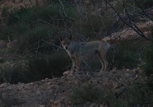
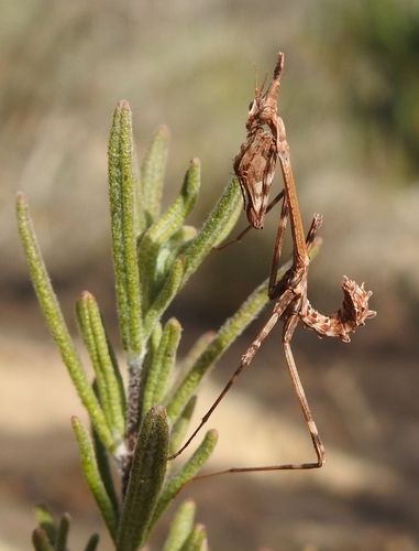
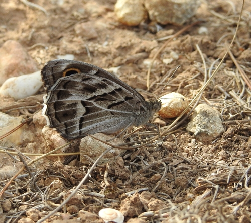
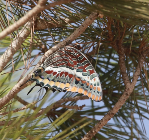
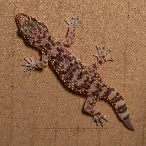

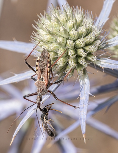
Research-grade observations from iNaturalist (within ~15 mi).
Events
Gallery
Sources
- • Wikipedia
- • Wikidata
- • iNaturalist
- • Open-Meteo / sunrise-sunset.org
- • Wikipedia Pageviews API