Browse / Algeria / Bordj Bou Arréridj / Ouchanene Kebira
Ouchanene Kebira
Bordj Bou Arréridjvillage
Demographic figures from Office National des Statistiques (Algeria). Overview below cites Wikipedia and may reference a different year.
City facts
Overview
Ouchanene Kebira, a village in Bordj Bou Arréridj, Algeria, forms part of the country's settled landscape. Up-to-date population figures for this locality are not available in the open datasets we monitor. On the world map it falls within the Eastern Hemisphere, specifically at 36.302°, 4.664°. The latitude suggests warm summers and cool winters. Continue scrolling for population, climate, environmental and points-of-interest data drawn from public sources.
Summary composed automatically from structured open data on this page. See our Terms for details.
History & geography
Geography
Coordinates & boundaries from the US Census TIGER/Line shapefiles.
Climate
Air quality
Walkability
Amenities nearby
Wildlife & biodiversity
Most-observed species
- Maghreb MagpiePica mauritanica Malherbe, 1845 · Aves641
- Eurasian GriffonGyps fulvus (Hablizl, 1783) · Aves542
- Eurasian KestrelFalco tinnunculus Linnaeus, 1758 · Aves187
- White-headed DuckOxyura leucocephala (Scopoli, 1769) · Aves165
- Barbary PartridgeAlectoris barbara (Bonnaterre, 1790) · Aves147
- Lesser KestrelFalco naumanni J.G.Fleischer, 1818 · Aves138
- Peregrine FalconFalco peregrinus Tunstall, 1771 · Aves100
- African ChaffinchFringilla spodiogenys Bonaparte, 1841 · Aves96
Citizen-science & research observations from the Global Biodiversity Information Facility (GBIF).
Earthquake history
Most recent
- M 4.5 — 2024-10-1027 km NE of Arhribs, Algeria
- M 3.8 — 2023-06-196 km WSW of el hed, Algeria
- M 5.2 — 2022-03-1913 km NE of Bejaïa, Algeria
- M 4.6 — 2021-07-1918 km SW of Jijel, Algeria
- M 4.6 — 2021-03-2512 km NE of Bejaïa, Algeria
- M 4.5 — 2021-03-24northern Algeria
Events from the USGS Earthquake Catalog (global) (FDSN Event Web Service).
Photos
Sights & places nearby
Notable people from here
Geography & sun
Nearby airports
Public attention
Books about this place
Recent natural events nearby
Ground air-quality sensors
Recently spotted species
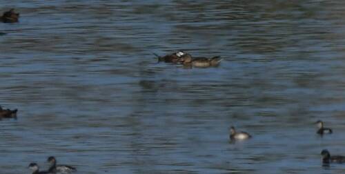
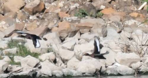
Research-grade observations from iNaturalist (within ~15 mi).
Events
Gallery
Sources
- • Wikidata
- • USGS Earthquake Catalog (global feed)
- • GBIF (Global Biodiversity Information Facility)
- • iNaturalist