Browse / Algeria / Skikda / Ouled Attia
Ouled Attia
Skikdatown
Total population
10,851
Demographic figures from Office National des Statistiques (Algeria). Overview below cites Wikipedia and may reference a different year.
City facts
Overview
Set in Skikda, Algeria, Ouled Attia is recorded in open geodata as a small town. The population stands at approximately 10,851. Its coordinates of 36.995°, 6.342° place it in the warm-temperate zone of the northern hemisphere. Based on its warm temperate position, residents likely encounter warm summers and cool winters. The location receives about 1,743 kWh/m² of solar irradiance per year and sunshine for roughly 68% of daylight hours. Continue scrolling for population, climate, environmental and points-of-interest data drawn from public sources.
Summary composed automatically from structured open data on this page. See our Terms for details.
History & geography
Geography
Coordinates & boundaries from the US Census TIGER/Line shapefiles.
Climate
Air quality
Walkability
Amenities nearby
Wildlife & biodiversity
Most-observed species
- TutsanHypericum androsaemum L. · Magnoliopsida7
- Southern PolypodyPolypodium cambricum L. · Polypodiopsida5
- Potamon algeriense Bott, 1967Potamon algeriense Bott, 1967 · Malacostraca5
- Numidian SquillDrimia numidica (Jord. & Fourr.) J.C.Manning & Goldblatt · Liliopsida4
- Sage-leaved Rock-roseCistus salviifolius L. · Magnoliopsida4
- Pulicaria odora (L.) Rchb.Pulicaria odora (L.) Rchb. · Magnoliopsida4
- BrackenPteridium aquilinum (L.) Kuhn · Polypodiopsida4
- Italian Lords-and-LadiesArum italicum Mill. · Liliopsida4
Citizen-science & research observations from the Global Biodiversity Information Facility (GBIF).
Earthquake history
Most recent
- M 4.2 — 2022-11-2027 km W of Guelma, Algeria
- M 4.2 — 2022-09-0719 km SSE of Azzaba, Algeria
- M 4.3 — 2021-12-2815 km SSW of Skikda, Algeria
- M 4.6 — 2021-07-1918 km SW of Jijel, Algeria
- M 4.8 — 2021-04-0121 km WSW of Guelma, Algeria
- M 4.5 — 2021-03-24northern Algeria
Events from the USGS Earthquake Catalog (global) (FDSN Event Web Service).
Photos
Sights & places nearby
Notable people from here
People born within ~10 km, from Wikidata (CC0). Click any name for their Wikipedia article.
Nearby places in Skikda
- Bir Bouregba237.2 mi away
- Tazoghrane250 mi away
- Menzel Temime257.4 mi away · pop. 65,645
- Kelibia262.6 mi away · pop. 58,491
- Tetti Mecci500.9 mi away
- Ormea501.1 mi away · pop. 1,967
- Bagni di Vinadio505.5 mi away
- Valsorda505.9 mi away
- Fontane506.3 mi away
- Pratolungo506.5 mi away
- Festiona507.4 mi away
- Robilante508 mi away · pop. 2,316
Geography & sun
Elevation, sunrise/sunset and daylight from Open-Meteo. Solar climatology from NASA POWER.
Nearby airports
Public attention
Pageview totals from the Wikimedia Pageviews API.
Books about this place
Recent natural events nearby
Ground air-quality sensors
Recently spotted species
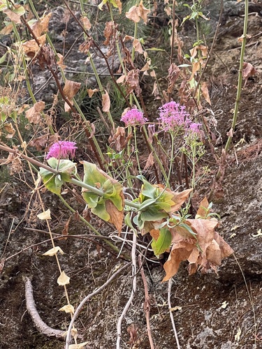
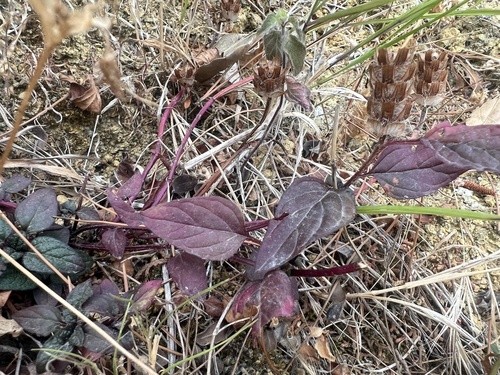
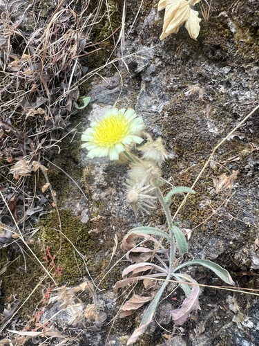
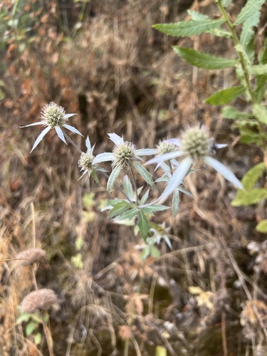
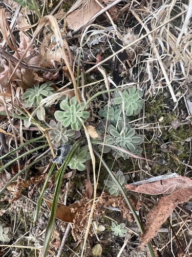
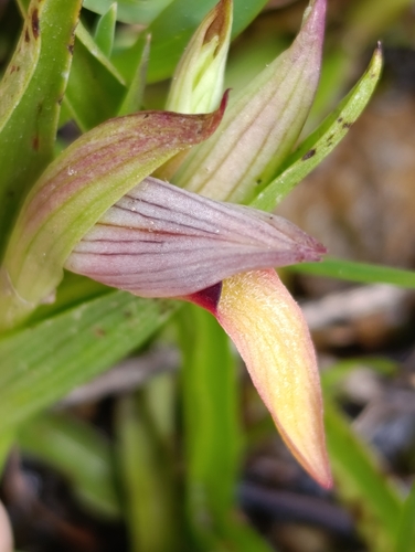
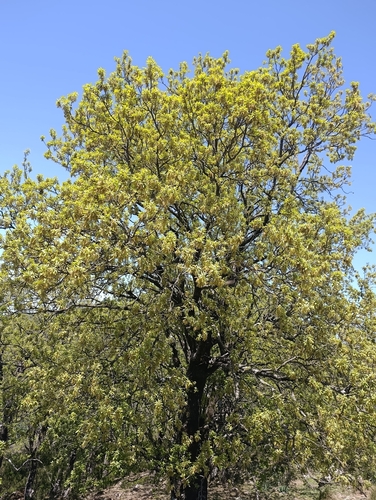
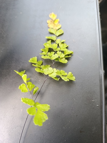
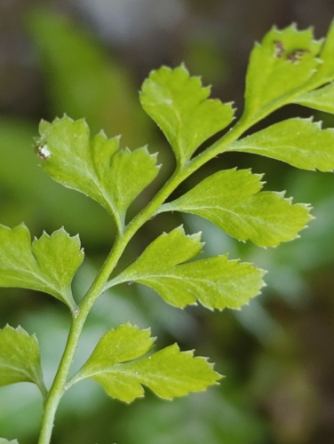
Research-grade observations from iNaturalist (within ~15 mi).
Events
Gallery
Sources
- • Wikidata
- • USGS Earthquake Catalog (global feed)
- • GBIF (Global Biodiversity Information Facility)
- • iNaturalist
- • Open-Meteo / sunrise-sunset.org
- • Wikipedia Pageviews API