Browse / Algeria / Bordj Bou Arréridj / Ouled Bounab
Ouled Bounab
Bordj Bou Arréridjvillage
Demographic figures from Office National des Statistiques (Algeria). Overview below cites Wikipedia and may reference a different year.
City facts
Overview
Ouled Bounab is a village located in Bordj Bou Arréridj, Algeria. Geographically it lies in the northern hemisphere at a warm temperate latitude (36.103°, 5.069°). No reliable population estimate is published for this entry in the open data we rely on. The location receives about 1,730 kWh/m² of solar irradiance per year and sunshine for roughly 68% of daylight hours. The latitude suggests warm summers and cool winters. The remainder of this page draws on open public data to describe the area's demographics, climate, environment and nearby amenities.
Summary composed automatically from structured open data on this page. See our Terms for details.
History & geography
Geography
Coordinates & boundaries from the US Census TIGER/Line shapefiles.
Climate
Air quality
Walkability
Amenities nearby
Wildlife & biodiversity
Earthquake history
Photos
Sights & places nearby
Notable people from here
Nearby places in Bordj Bou Arréridj
- Ouled el Ayeb0.4 mi away
- El Djouaher4.1 mi away · pop. 1,000
- Bir Djelila4.3 mi away
- Bir Lahlou4.6 mi away
- Douar Ksir el Ghoul5 mi away
- Soualem5.1 mi away
- Mechtat Cherchar5.4 mi away
- Radjet6.1 mi away
- El Frafria6.2 mi away
- Douar Agoune6.4 mi away · pop. 200
- Mechtat Ras el Ansor7.2 mi away · pop. 200
- Mechtat Tassera7.9 mi away
Geography & sun
Elevation, sunrise/sunset and daylight from Open-Meteo. Solar climatology from NASA POWER.
Nearby airports
Public attention
Books about this place
Recent natural events nearby
Ground air-quality sensors
Recently spotted species
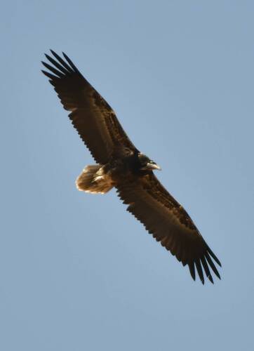
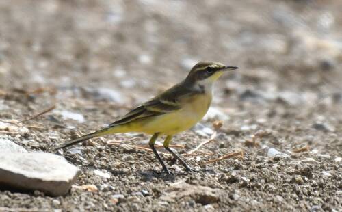
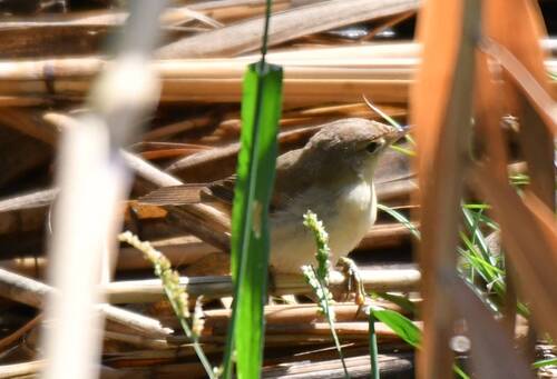
Research-grade observations from iNaturalist (within ~15 mi).
Events
Gallery
Sources
- • iNaturalist
- • Open-Meteo / sunrise-sunset.org