Browse / Algeria / Algiers / Rouiba
Rouiba
Algierstown

Rouiba
Total population
61,984
Demographic figures from Office National des Statistiques (Algeria). Overview below cites Wikipedia and may reference a different year.
City facts
Facts from Wikidata (CC0).
Overview
Rouïba or Rouiba is a municipality of Algeria. It is located 22 kilometres (14 mi) in the eastern suburbs of Algiers in one of the most healthy localities of Algeria. It is also the district seat of Rouïba District in Algiers Province. Its inhabitants are called Rouibéens.
Read more on WikipediaHistory & geography
History
Due to its geographical position, the region has always favored human presence since the prehistoric period.
Geography
Rouïba is the name used by the inhabitants before and after the French colonization. "What is incontrovertible is that its origin comes from the Arab or the Berber; as for its translation the opinions diverge". The origin could be a deformation of "Small wood": * Gustave Léon Niox defines:Rouiba diminutive of Raba ( Ghaba ), small wood. * Élisée Reclus defines:Ghaba, wood.- Diminutive: Ghouiba . Ex: Rouiba (suburb of Algiers), le Bosquet (lambert). Rouïba is located about east of Algiers. The municipality of Rouiba is entirely within the Plain of Mitidja. It borders neither the sea, nor the Atlas. The altitudes are all very low, of the order of 20 m, and even less than 10 m near the El Biar River which limits the town to the east. Everything is flat, with the small exception of Haraoua ride in the far north, which reaches 50 m. In the Western part, the tight meanders of El Hamiz River emphasize the low slope of the river and flood risk, at least before the construction of the dam opened on the mountain in 1883 which has regularized the flow. The municipality is crossed by three wadis: * El Biar wadi: originates around the Rouïba-Réghaïa industrial zone and feeds Lake of Réghaïa through the commune of Heraoua. It limits the municipality to the East. * Bouriah wadi: tributary of the Oued El Hamiz. It rises at the level of Rouïba and drains runoff from the Mitidja North-East. * El Hamiz wadi: which limits the commune to the West. Rouiba is located in the eastern end of the Mitidja Plain, which is a zone of continuous subsidence, which has given rise to an active sedimentation whose elements come from the reliefs of Atlas of Blida. At the end of the Pliocene and the Quaternary periods, two aquifer reservoirs became individualized. It is the Astien formed by…
Excerpted from the corresponding Wikipedia article (CC BY-SA).
Geography
Coordinates & boundaries from the US Census TIGER/Line shapefiles.
Climate
Air quality
Walkability
Amenities nearby
Wildlife & biodiversity
Earthquake history
Photos
Sights & places nearby
Notable people from here


People born within ~10 km, from Wikidata (CC0). Click any name for their Wikipedia article.
Nearby places in Algiers
- Sbaat1.7 mi away
- H'raoua2.9 mi away · pop. 27,565
- Djaafri4 mi away
- Chaibia17.8 mi away
- Ouled Chebel18.6 mi away
- Soajo711.2 mi away · pop. 385
- Castro Laboreiro711.3 mi away · pop. 96
- Britelo711.5 mi away · pop. 485
- Entre Ambos-os-Rios711.7 mi away · pop. 502
- Ermelo711.8 mi away · pop. 92
- Vila Chã (Santiago)712 mi away · pop. 139
- Vila Chã (São João Baptista)712.1 mi away · pop. 484
Geography & sun
Elevation, sunrise/sunset and daylight from Open-Meteo. Solar climatology from NASA POWER.
Nearby airports
Public attention
Pageview totals from the Wikimedia Pageviews API.
Books about this place
Recent natural events nearby
Ground air-quality sensors
Recently spotted species
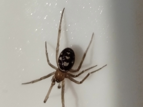
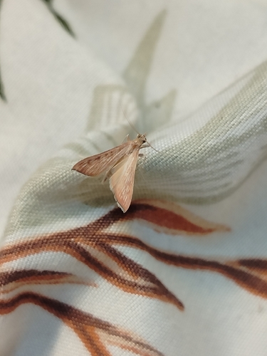
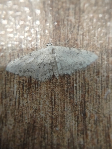
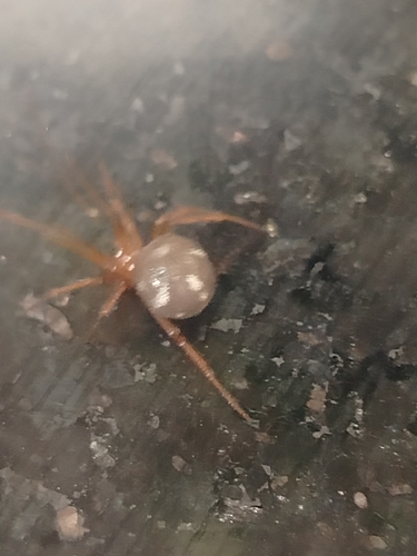
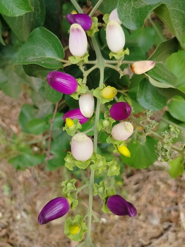
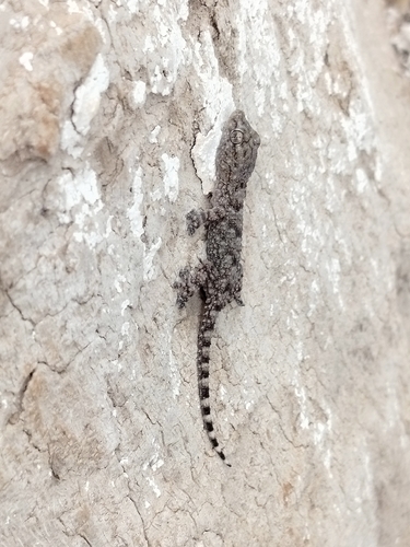
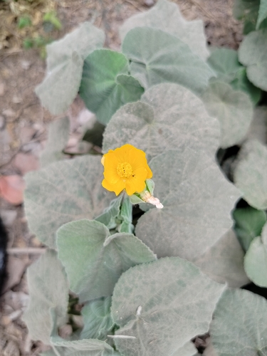
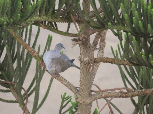
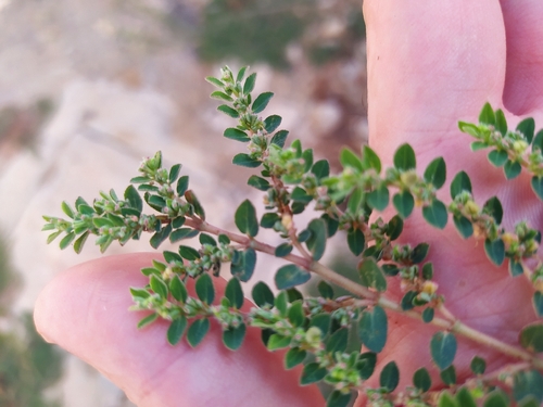
Research-grade observations from iNaturalist (within ~15 mi).
Events
Gallery
Sources
- • Wikipedia
- • Wikidata
- • iNaturalist
- • Open-Meteo / sunrise-sunset.org
- • Wikipedia Pageviews API