Browse / Algeria / M'Sila / Sidi Ameur
Sidi Ameur
M'Silacity

Sidi Ameur
Total population
40,000
Air quality index
Demographic figures from Office National des Statistiques (Algeria). Overview below cites Wikipedia and may reference a different year.
City facts
Overview
Sidi Ameur is a town and commune in M'Sila Province, Algeria. According to the 1998 census it has a population of 18,721.
Read more on WikipediaHistory & geography
Geography
Coordinates & boundaries from the US Census TIGER/Line shapefiles.
Climate
Air quality
Current readings from Open-Meteo Air Quality API (Copernicus CAMS European reanalysis).
Walkability
Amenities nearby
Wildlife & biodiversity
Most-observed species
- Cosmopleurus fulvipes (Dallas, 1852)Cosmopleurus fulvipes (Dallas, 1852) · Insecta2
- Moricandia suffruticosa (Desf.) Coss. & DurieuMoricandia suffruticosa (Desf.) Coss. & Durieu · Magnoliopsida2
- Asparagus albus L.Asparagus albus L. · Liliopsida1
- barillaHalogeton sativus (L.) Moq. · Magnoliopsida1
- MitnanThymelaea hirsuta (L.) Endl. · Magnoliopsida1
- Thapsia garganica L.Thapsia garganica L. · Magnoliopsida1
Citizen-science & research observations from the Global Biodiversity Information Facility (GBIF).
Earthquake history
Most recent
- M 4.6 — 2026-06-2829 km NW of Djelfa, Algeria
- M 4.3 — 2024-04-2051 km SSE of M’sila, Algeria
- M 4.1 — 2019-06-1039 km S of Bordj Ghdir, Algeria
- M 4.2 — 2016-11-0516 km WSW of Melouza, Algeria
- M 3.8 — 2015-07-154 km SSE of M’Sila, Algeria
- M 4 — 2010-05-2415 km SSW of Melouza, Algeria
Events from the USGS Earthquake Catalog (global) (FDSN Event Web Service).
Photos
Sights & places nearby
Notable people from here
Nearby places in M'Sila
Geography & sun
Elevation, sunrise/sunset and daylight from Open-Meteo. Solar climatology from NASA POWER.
Nearby airports
Public attention
Pageview totals from the Wikimedia Pageviews API.
Books about this place
Recent natural events nearby
Ground air-quality sensors
Recently spotted species
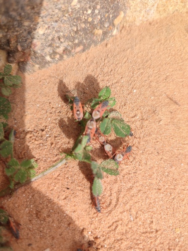
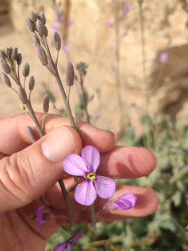
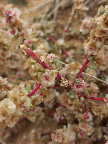
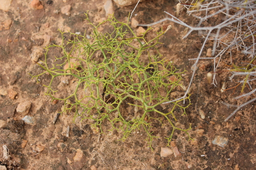
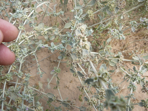
Research-grade observations from iNaturalist (within ~15 mi).
Events
Gallery
Sources
- • Wikipedia
- • Wikidata
- • Open-Meteo Air Quality (CAMS)
- • USGS Earthquake Catalog (global feed)
- • GBIF (Global Biodiversity Information Facility)
- • iNaturalist
- • Open-Meteo / sunrise-sunset.org
- • Wikipedia Pageviews API