Browse / Algeria / Tamanrasset / Silet
Silet
Tamanrassetvillage

Featured view
Silet
Coordinates22.66°, 4.57°
Demographic figures from Office National des Statistiques (Algeria). Overview below cites Wikipedia and may reference a different year.
Loading additional data from public sources…0 / 11
CensusWikipediaWeatherPlacesPeopleEnvironmentHealth & SchoolsRelatedGeography & CultureLive MonitoringEvents & Gallery
0% completeCity facts
Overview
Silet is a village in the commune of Abalessa, in Tamanrasset Province, Algeria. It is located on the N55A national highway 38 kilometres (24 mi) southwest of Abalessa and 100 kilometres (62 mi) west of Tamanrasset.
Read more on WikipediaHistory & geography
Geography
Latitude
22.6572
Longitude
4.5695
Water area
—
Coordinates & boundaries from the US Census TIGER/Line shapefiles.
Climate
Air quality
Walkability
Amenities nearby
Wildlife & biodiversity
Earthquake history
Photos
Sights & places nearby
Notable people from here
Nearby places in Tamanrasset
Geography & sun
Avg solar (kWh/m²/day)
6.41
Annual solar (kWh/m²)
2,341
Elevation, sunrise/sunset and daylight from Open-Meteo. Solar climatology from NASA POWER.
Nearby airports
Public attention
Wikipedia views (last 30 days)
57
Avg daily Wikipedia views
2
Attention level
Obscure
Pageview totals from the Wikimedia Pageviews API.
Books about this place
Recent natural events nearby
Ground air-quality sensors
Recently spotted species
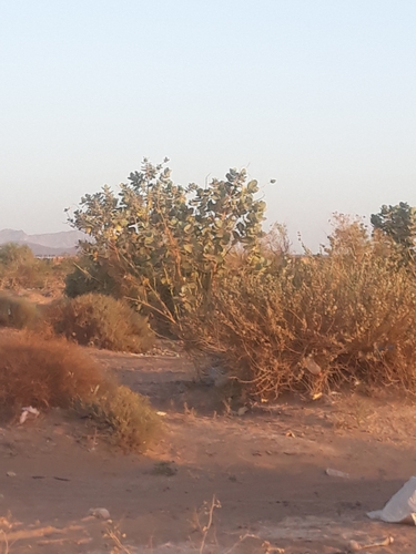
giant milkweed
Calotropis procera
Seen 2022-12-14
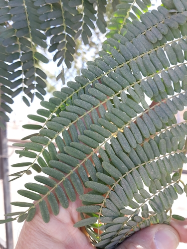
Tamarind
Tamarindus indica
Seen 2022-01-28
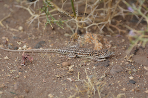
Bosc’s Fringe-toed lizard
Acanthodactylus boskianus
Seen 2018-10-29
Research-grade observations from iNaturalist (within ~15 mi).
Events
Gallery
Sources
- • Wikipedia
- • Wikidata
- • iNaturalist
- • Open-Meteo / sunrise-sunset.org
- • Wikipedia Pageviews API