Browse / Algeria / Médéa / Tablat
Tablat
Médéatown

Featured view
Tablat
Total population
27,919
Elevation516 m
Land area77.5 km²
Coordinates36.41°, 3.31°
Demographic figures from Office National des Statistiques (Algeria). Overview below cites Wikipedia and may reference a different year.
Loading additional data from public sources…0 / 11
CensusWikipediaWeatherPlacesPeopleEnvironmentHealth & SchoolsRelatedGeography & CultureLive MonitoringEvents & Gallery
0% completeCity facts
Elevation
516 m
Area
77.5 km²
Facts from Wikidata (CC0).
Overview
Tablat is a town and commune in Médéa Province, Algeria. According to the 1998 census, it has a population of 28,276.
Read more on WikipediaHistory & geography
Geography
Latitude
36.4128
Longitude
3.3098
Water area
—
Coordinates & boundaries from the US Census TIGER/Line shapefiles.
Climate
Air quality
Walkability
Amenities nearby
Wildlife & biodiversity
Earthquake history
Photos
Sights & places nearby
Notable people from here

People born within ~10 km, from Wikidata (CC0). Click any name for their Wikipedia article.
Nearby places in Médéa
- Nouveau pôle Urbain de Mezghenna3.8 mi away
- El Aïssaouia5.3 mi away · pop. 3,763
- Aït Watas6.1 mi away
- Sidi Errabia9.5 mi away · pop. 5,042
- Mihoub10.1 mi away
- Baata12 mi away · pop. 856
- El Guelb El Kebir12.4 mi away · pop. 12,782
- Beni Slimane12.6 mi away · pop. 33,779
- Meghraoua13.2 mi away
- Sekhairia13.3 mi away
- Kouaket13.7 mi away
- Bouchrahil14 mi away
Geography & sun
Avg solar (kWh/m²/day)
4.84
Annual solar (kWh/m²)
1,765
Elevation, sunrise/sunset and daylight from Open-Meteo. Solar climatology from NASA POWER.
Nearby airports
Public attention
Wikipedia views (last 30 days)
44
Avg daily Wikipedia views
2
Attention level
Obscure
Pageview totals from the Wikimedia Pageviews API.
Books about this place
Recent natural events nearby
Ground air-quality sensors
Recently spotted species
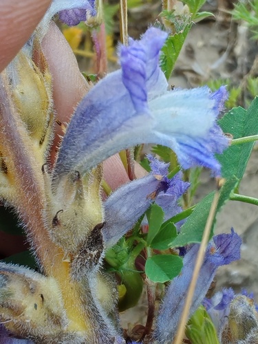
Cretan-Hawkbit Broomrape
Phelipanche hedypnoidis
Seen 2026-04-18
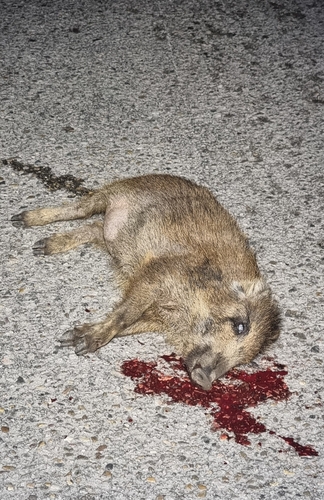
Wild Boar
Sus scrofa
Seen 2025-03-06
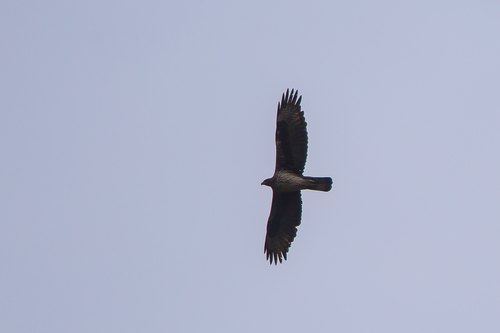
Bonelli's Eagle
Aquila fasciata
Seen 2022-02-25
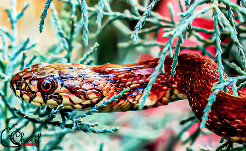
Viperine Snake
Natrix maura
Seen 2019-08-01
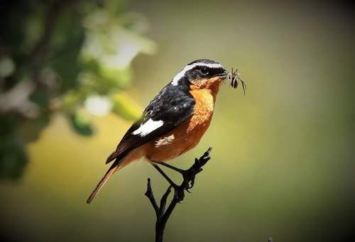
Moussier's Redstart
Phoenicurus moussieri
Seen 2019-06-25
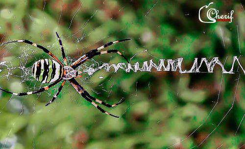
Wasp Spider
Argiope bruennichi
Seen 2018-08-24
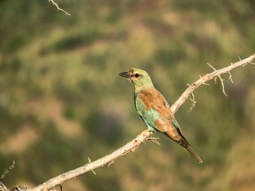
European Roller
Coracias garrulus
Seen 2018-08-18
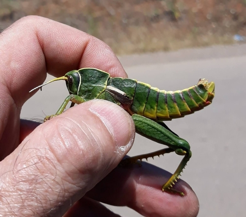
Pamphagus elephas
Pamphagus elephas
Seen 2017-06-25
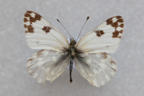
Bath White
Pontia daplidice
Seen 1972-09-14
Research-grade observations from iNaturalist (within ~15 mi).
Events
Gallery
Sources
- • Wikipedia
- • Wikidata
- • iNaturalist
- • Open-Meteo / sunrise-sunset.org
- • Wikipedia Pageviews API