Browse / Algeria / Aïn Defla / Tafrent
Tafrent
Aïn Deflavillage
Demographic figures from Office National des Statistiques (Algeria). Overview below cites Wikipedia and may reference a different year.
City facts
Overview
Tafrent, a village in Aïn Defla, Algeria, forms part of the country's settled landscape. Up-to-date population figures for this locality are not available in the open datasets we monitor. Geographically it lies in the northern hemisphere at a warm temperate latitude (35.949°, 1.815°). Based on its warm temperate position, residents likely encounter warm summers and cool winters. The location receives about 1,834 kWh/m² of solar irradiance per year and sunshine for roughly 72% of daylight hours. The sections below expand on demographics, weather, terrain, hazards and nearby points of interest using publicly available datasets.
Summary composed automatically from structured open data on this page. See our Terms for details.
History & geography
Geography
Coordinates & boundaries from the US Census TIGER/Line shapefiles.
Climate
Air quality
Walkability
Amenities nearby
Wildlife & biodiversity
Most-observed species
- Atlas CedarCedrus atlantica (Endl.) Manetti ex Carriere · Pinopsida5
- Silver BroomArgyrolobium zanonii (Turra) P.W.Ball · Magnoliopsida4
- White MignonetteReseda alba L. · Magnoliopsida3
- Iberian knapweedCentaurea pullata L. · Magnoliopsida3
- Echium asperrimum Lam.Echium asperrimum Lam. · Magnoliopsida3
- Conehead MantisEmpusa pennata (Thunberg, 1815) · Insecta3
- Field MadderSherardia arvensis L. · Magnoliopsida3
- Flower SpiderThomisus onustus Walckenaer, 1805 · Arachnida2
Citizen-science & research observations from the Global Biodiversity Information Facility (GBIF).
Earthquake history
Most recent
- M 5 — 2024-12-1617 km ENE of Sidi Akkacha, Algeria
- M 4.4 — 2021-07-315 km NNW of El Abadia, Algeria
- M 3.6 — 2020-08-2936 km WNW of Hadjout, Algeria
- M 4.4 — 2020-08-134 km SSE of Chiffa, Algeria
- M 4.5 — 2020-08-0841 km WNW of Hadjout, Algeria
- M 4.5 — 2018-01-086 km ESE of Hadjout, Algeria
Events from the USGS Earthquake Catalog (global) (FDSN Event Web Service).
Photos
Sights & places nearby
Notable people from here
Nearby places in Aïn Defla
- Beni Hassen6.3 mi away
- El Medina8.3 mi away
- Old Zeddine14.8 mi away
- Ouled Sidi Yahia15.1 mi away
- Rouina mines18.3 mi away
- Tarik Ibn Ziad18.6 mi away
- Douar Ouled Talouat18.8 mi away
- Douar Ouled Sidi Keddour19.1 mi away
- Saïdia19.4 mi away
- Cheikh Ben Yahia20.6 mi away
- Douar Dahmane22.2 mi away
- El Guezazna23.7 mi away
Geography & sun
Elevation, sunrise/sunset and daylight from Open-Meteo. Solar climatology from NASA POWER.
Nearby airports
Public attention
Books about this place
Recent natural events nearby
Ground air-quality sensors
Recently spotted species
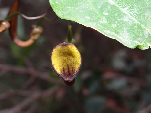
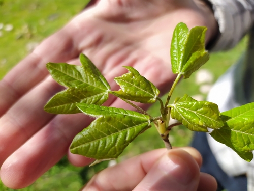
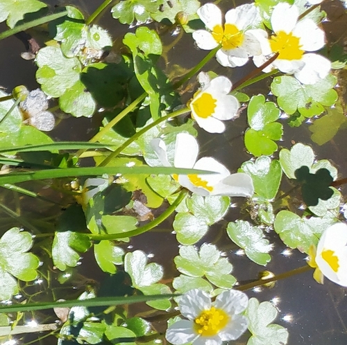
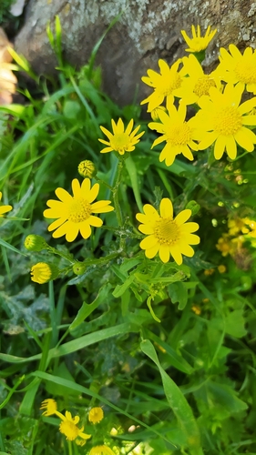
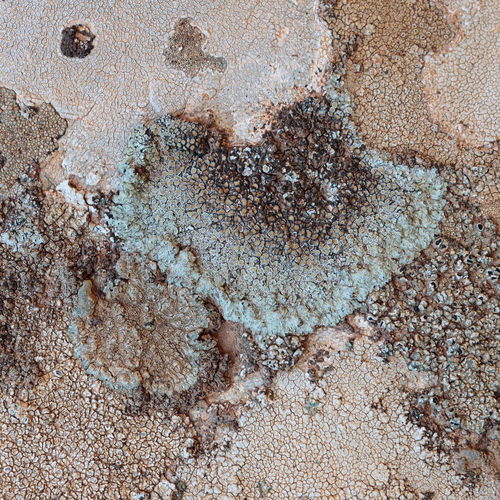
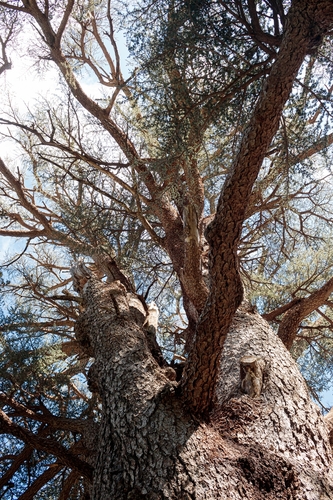

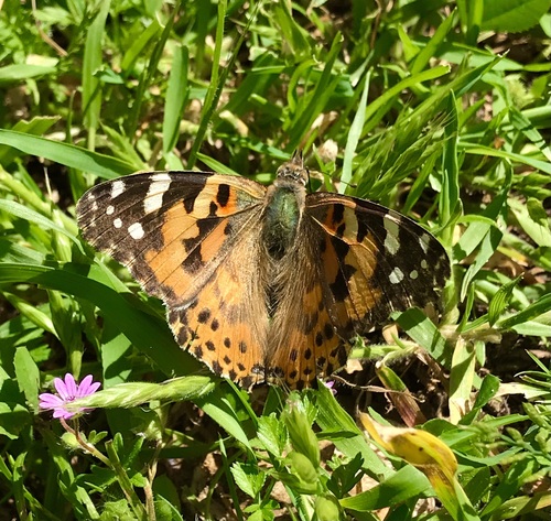
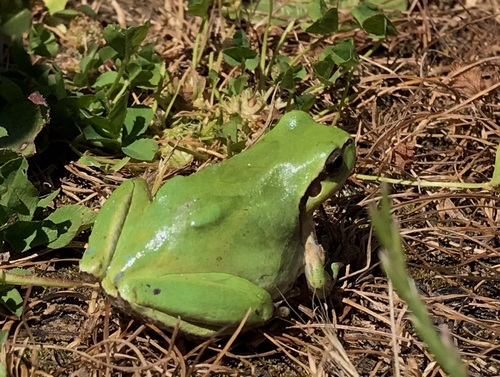
Research-grade observations from iNaturalist (within ~15 mi).
Events
Gallery
Sources
- • Wikidata
- • USGS Earthquake Catalog (global feed)
- • GBIF (Global Biodiversity Information Facility)
- • iNaturalist
- • Open-Meteo / sunrise-sunset.org