Browse / Algeria / Béchar / Taghit
Taghit
Bécharvillage
Total population
6,505
Air quality index
Demographic figures from Office National des Statistiques (Algeria). Overview below cites Wikipedia and may reference a different year.
City facts
Overview
Taghit sits in Béchar, Algeria and is identified as a small village. Coordinates of 30.917°, -2.029° situate Taghit in the warm-temperate zone of the northern hemisphere. Population sits at roughly 6,505 according to the open data we track. Open solar datasets indicate about 2,207 kWh/m² of solar irradiance per year, combined with sunshine for roughly 86% of daylight hours. Based on its warm temperate position, residents likely encounter warm summers and cool winters. Additional figures on demographics, climate, geography and points of interest appear in the sections that follow, all drawn from open public datasets.
Summary composed automatically from structured open data on this page. See our Terms for details.
History & geography
Geography
Coordinates & boundaries from the US Census TIGER/Line shapefiles.
Climate
Air quality
Current readings from Open-Meteo Air Quality API (Copernicus CAMS European reanalysis).
Walkability
Amenities nearby
Wildlife & biodiversity
Most-observed species
- Colchicum gramineum (Cav.) J.C.Manning & Vinn.Colchicum gramineum (Cav.) J.C.Manning & Vinn. · Liliopsida8
- Albuca amoena (Batt.) J.C.Manning & GoldblattAlbuca amoena (Batt.) J.C.Manning & Goldblatt · Liliopsida5
- White-crowned WheatearOenanthe leucopyga (C.L.Brehm, 1855) · Aves4
- Brown-necked RavenCorvus ruficollis Lesson, 1831 · Aves3
- Ceratolimon feei (Girard) M.B.Crespo & LledóCeratolimon feei (Girard) M.B.Crespo & Lledó · Magnoliopsida3
- White Shrubby HorsetailEphedra alata Decne. · Gnetopsida2
- Farsetia aegyptia TurraFarsetia aegyptia Turra · Magnoliopsida2
- Hairy mignonetteReseda villosa Coss. · Magnoliopsida2
Citizen-science & research observations from the Global Biodiversity Information Facility (GBIF).
Earthquake history
Events from the USGS Earthquake Catalog (global) (FDSN Event Web Service).
Photos
Sights & places nearby
Notable people from here
Nearby places in Béchar
- El Djorf El Barda40.9 mi away
- Mechraa Houari Boumediene42 mi away · pop. 3,088
- Bechar49.6 mi away · pop. 165,627
- Souissifa71.1 mi away
- Ksar Tanamouste118.2 mi away
- Hassilabied119.2 mi away
- Ouzina126.1 mi away
- Haroun129.7 mi away
- Ksar Tazougart131.1 mi away
- Tighedouine131.5 mi away
- Oulad Abderrahmane131.7 mi away
- Asserghine131.8 mi away
Geography & sun
Elevation, sunrise/sunset and daylight from Open-Meteo. Solar climatology from NASA POWER.
Nearby airports
Public attention
Books about this place
Recent natural events nearby
Ground air-quality sensors
Recently spotted species
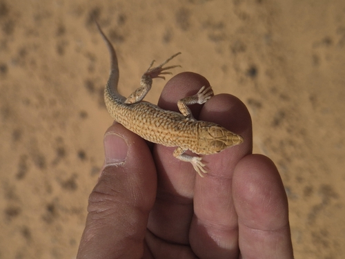
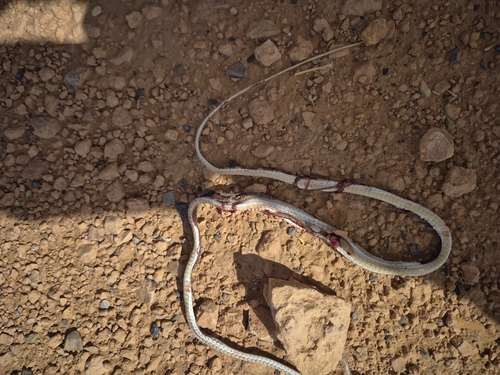
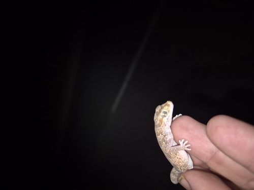
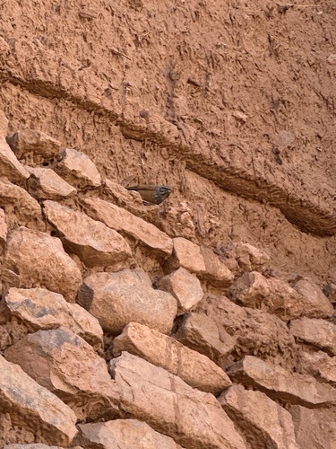
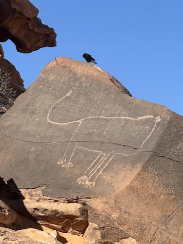
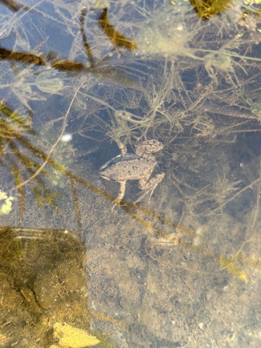
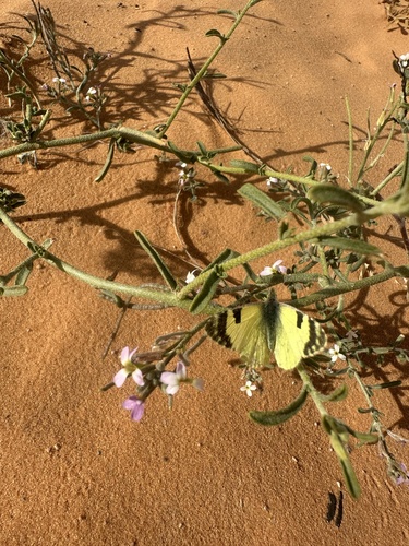
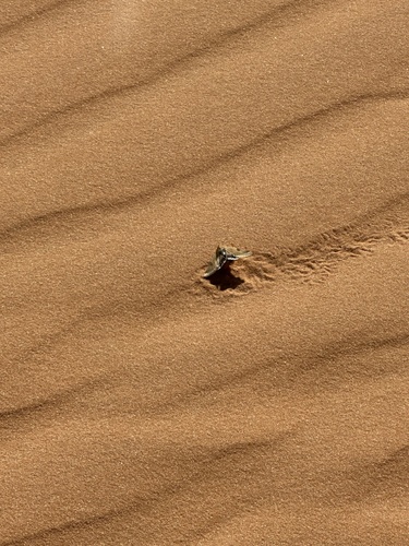
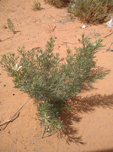
Research-grade observations from iNaturalist (within ~15 mi).
Events
Gallery
Geotagged photos within ~6 miles of Taghit, from Wikimedia Commons contributors.
 0.1 mi
 0.1 mi
 0.1 mi
 0.2 mi
 0.3 mi
 0.3 mi
 0.3 mi
 0.3 mi
 0.4 mi
 0.5 mi
 1.9 mi
 2.1 mi
 2.1 mi
 4.3 mi
 4.3 mi
 4.3 mi
 6 mi
 6 mi
 6 mi
Photos via Wikimedia Commons — see each image page for license & attribution.
Sources
- • Wikimedia Commons
- • Wikidata
- • Open-Meteo Air Quality (CAMS)
- • USGS Earthquake Catalog (global feed)
- • GBIF (Global Biodiversity Information Facility)
- • iNaturalist
- • Open-Meteo / sunrise-sunset.org