Browse / Algeria / Guelma / Tamlouka
Tamlouka
Guelmavillage

Tamlouka
Total population
18,894
Demographic figures from Office National des Statistiques (Algeria). Overview below cites Wikipedia and may reference a different year.
City facts
Overview
Tamlouka is a small city of about 22.000 inhabitants in the District of Aïn Makhlouf of the Guelma Province in the northeast of Algeria. It is located at the intersection of W10 and W133, between the cities of Oued Zenati and Aïn Beïda. It is located 60 kilometres from Guelma, capital of the province. Prior to the mass renaming of towns after Algeria's independence, this town was known by the French name Montcalm. Most of the people in the city are Berber Chaouis, whose main dialect was one of Berber languages, but now most people know only Maghrebi Arabic.
Read more on WikipediaHistory & geography
Geography
Coordinates & boundaries from the US Census TIGER/Line shapefiles.
Climate
Air quality
Walkability
Amenities nearby
Wildlife & biodiversity
Earthquake history
Photos
Sights & places nearby
Notable people from here
Nearby places in Guelma
- بلحفاف ⴱⴻⵍⵃⴻⴼⴰⴼ2.4 mi away
- سلاوة ⵙⴻⵍⵍⴰⵡⴰ3 mi away
- برحاب ⴱⴻⵕⴻⵃⴰⴱ3.9 mi away
- مشتة سيدي معاش ⵎⵛⵜⴻⵜ ⵙⵉⴷⵉ ⵎⴻⵄⴰⵛ4.3 mi away
- عين تراب ⵄⵉⵏ ⵜⵜⵔⴰⴱ4.8 mi away
- Ain Arko4.8 mi away
- بلجودي ⴱⴻⵍⵊⵓⴷⵉ6 mi away
- Aïn Reggada7.9 mi away
- بكوش أحمد ⴱⴻⴽⵓⵛ ⵃⵎⴻⴷ8.2 mi away
- Ain Makhlouf8.4 mi away · pop. 12,300
- Ksar El Azeb12.5 mi away
- Ras El Ayoun15.4 mi away
Geography & sun
Elevation, sunrise/sunset and daylight from Open-Meteo. Solar climatology from NASA POWER.
Nearby airports
Public attention
Pageview totals from the Wikimedia Pageviews API.
Books about this place
Recent natural events nearby
Ground air-quality sensors
Recently spotted species
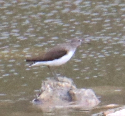
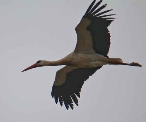
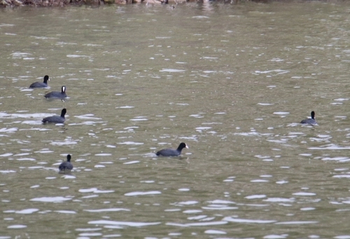
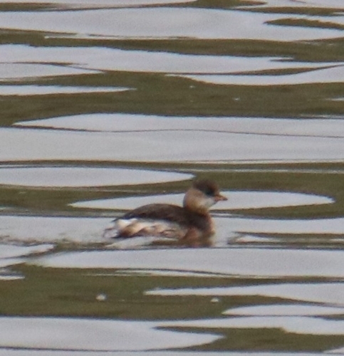
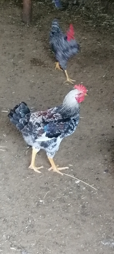
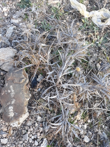
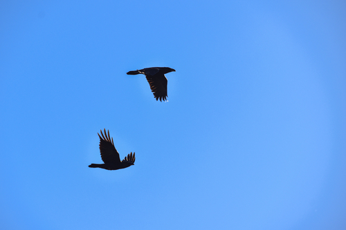
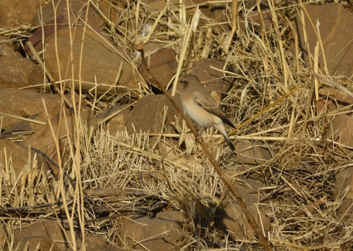
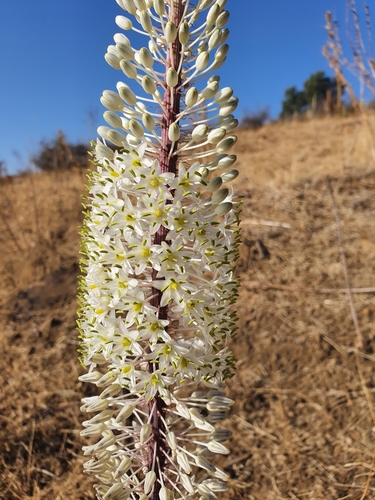
Research-grade observations from iNaturalist (within ~15 mi).
Events
Gallery
Sources
- • Wikipedia
- • Wikidata
- • iNaturalist
- • Open-Meteo / sunrise-sunset.org
- • Wikipedia Pageviews API