Browse / Algeria / El M'Ghair / Tendla
Tendla
El M'Ghairvillage

Featured view
Tendla
Elevation16 m
Coordinates33.67°, 6.03°
Demographic figures from Office National des Statistiques (Algeria). Overview below cites Wikipedia and may reference a different year.
Loading additional data from public sources…0 / 11
CensusWikipediaWeatherPlacesPeopleEnvironmentHealth & SchoolsRelatedGeography & CultureLive MonitoringEvents & Gallery
0% completeCity facts
Elevation
16 m
Facts from Wikidata (CC0).
Overview
Tendla is a town and commune in Djamaa District, El M'Ghair Province, Algeria. According to the 2008 census it has a population of 9,193, up from 8,033 in 1998, with an annual growth rate of 1.4%, the second-lowest in the province.
Read more on WikipediaHistory & geography
Geography
Latitude
33.6734
Longitude
6.0332
Water area
—
Coordinates & boundaries from the US Census TIGER/Line shapefiles.
Climate
Air quality
Walkability
Amenities nearby
Wildlife & biodiversity
Earthquake history
Photos
Sights & places nearby
Notable people from here
Nearby places in El M'Ghair
- Tigdidine9.1 mi away
- Sidi Amrane12.2 mi away
- Pescara del Tronto739.5 mi away · pop. 135
- Arquata del Tronto741.4 mi away · pop. 1,481
- Piedilama742.5 mi away
- Pretare743 mi away
- Castelsantangelo sul Nera744.4 mi away · pop. 370
- Acquasanta Terme744.5 mi away · pop. 3,346
- Monte Cavallo745.9 mi away · pop. 171
- Balzo746.3 mi away · pop. 123
- Uscerno748.9 mi away
- Serravalle di Chienti749.1 mi away · pop. 1,153
Geography & sun
Avg solar (kWh/m²/day)
5.63
Annual solar (kWh/m²)
2,054
Elevation, sunrise/sunset and daylight from Open-Meteo. Solar climatology from NASA POWER.
Nearby airports
Public attention
Wikipedia views (last 30 days)
19
Avg daily Wikipedia views
1
Attention level
Obscure
Pageview totals from the Wikimedia Pageviews API.
Books about this place
Recent natural events nearby
Ground air-quality sensors
Recently spotted species
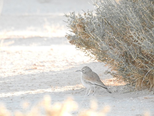
Greater Hoopoe-Lark
Alaemon alaudipes
Seen 2019-12-31
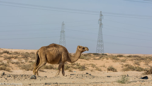
Dromedary Camel
Camelus dromedarius
Seen 2015-10-17

Anderson's Short-fingered Gecko
Stenodactylus petrii
Seen 2014-05-25
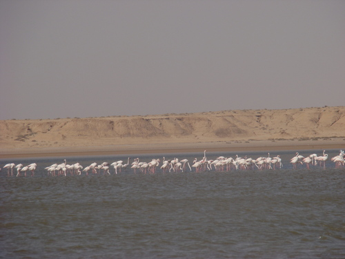
Greater Flamingo
Phoenicopterus roseus
Seen 2011-04-26
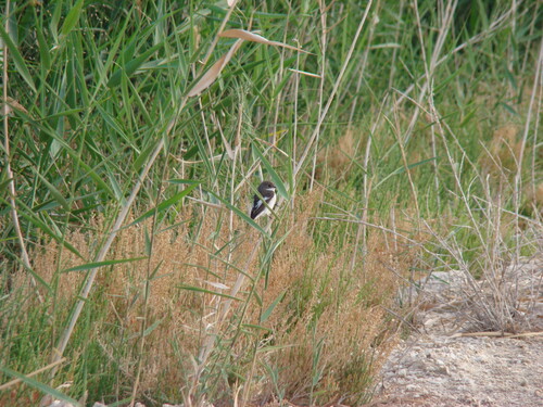
European Pied Flycatcher
Ficedula hypoleuca
Seen 2011-04-26
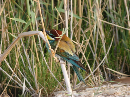
European Bee-eater
Merops apiaster
Seen 2011-04-26
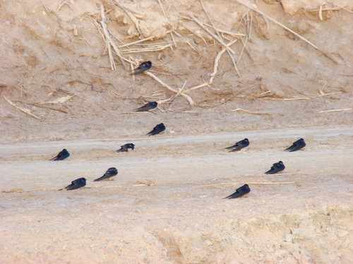
Barn Swallow
Hirundo rustica
Seen 2011-04-26
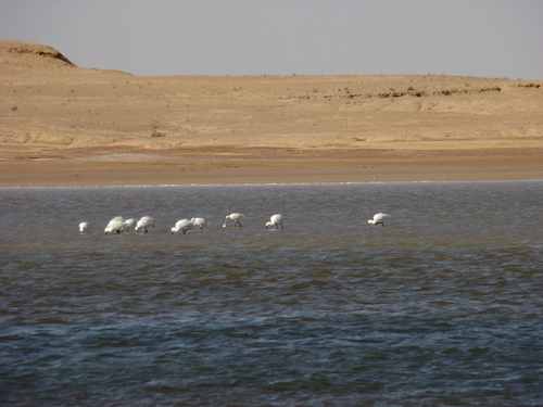
Eurasian Spoonbill
Platalea leucorodia
Seen 2011-03-22
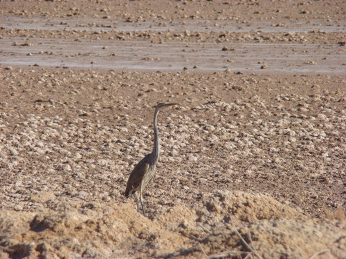
Purple Heron
Ardea purpurea
Seen 2010-11-23
Research-grade observations from iNaturalist (within ~15 mi).
Events
Gallery
Sources
- • Wikipedia
- • Wikidata
- • iNaturalist
- • Open-Meteo / sunrise-sunset.org
- • Wikipedia Pageviews API