Browse / Algeria / Batna / Teniet El Abed
Teniet El Abed
Batnavillage
Total population
11,388
Demographic figures from Office National des Statistiques (Algeria). Overview below cites Wikipedia and may reference a different year.
City facts
Overview
Teniet El Abed sits in Batna, Algeria and is identified as a small village. Its coordinates of 35.255°, 6.201° place it in the warm-temperate zone of the northern hemisphere. It is home to roughly 11,388 residents. Based on its warm temperate position, residents likely encounter warm summers and cool winters. Solar-resource estimates put the area at about 1,832 kWh/m² of solar irradiance per year with sunshine for roughly 72% of daylight hours. Open-data panels below dive into population trends, climate normals, environmental indicators and nearby places.
Summary composed automatically from structured open data on this page. See our Terms for details.
History & geography
Geography
Coordinates & boundaries from the US Census TIGER/Line shapefiles.
Climate
Air quality
Walkability
Amenities nearby
Wildlife & biodiversity
Most-observed species
- White HorehoundMarrubium vulgare L. · Magnoliopsida6
- Giant ThistleCarduus macrocephalus Desf. · Magnoliopsida4
- Astragalus armatus Willd.Astragalus armatus Willd. · Magnoliopsida4
- king's-spearAsphodeline lutea (L.) Rchb. · Liliopsida3
- Bermuda-buttercupOxalis pes-caprae L. · Magnoliopsida3
- Field WormwoodArtemisia campestris L. · Magnoliopsida3
- Sweet AlisonLobularia maritima (L.) Desv. · Magnoliopsida3
- Algerian RosemarySalvia jordanii J.B.Walker · Magnoliopsida2
Citizen-science & research observations from the Global Biodiversity Information Facility (GBIF).
Earthquake history
Most recent
- M 4.7 — 2026-06-036 km NNW of Draa Klalouche, Algeria
- M 4.5 — 2025-10-1922 km ESE of Tazoult-Lambese, Algeria
- M 4.2 — 2022-04-1323 km WNW of Zeribet el Oued, Algeria
- M 4.6 — 2021-03-159 km WNW of Arris, Algeria
- M 4.5 — 2020-07-0418 km NNE of Batna, Algeria
- M 5 — 2020-03-2621 km WNW of Draa Klalouche, Algeria
Events from the USGS Earthquake Catalog (global) (FDSN Event Web Service).
Photos
Sights & places nearby
Notable people from here


People born within ~10 km, from Wikidata (CC0). Click any name for their Wikipedia article.
Nearby places in Batna
Geography & sun
Elevation, sunrise/sunset and daylight from Open-Meteo. Solar climatology from NASA POWER.
Nearby airports
Public attention
Books about this place
Recent natural events nearby
Ground air-quality sensors
Recently spotted species
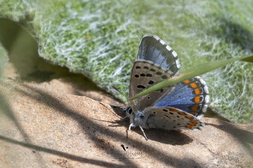
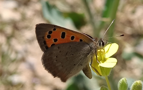


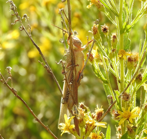
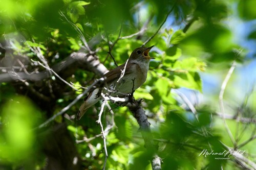
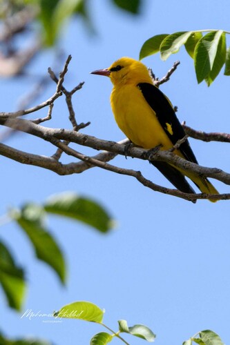
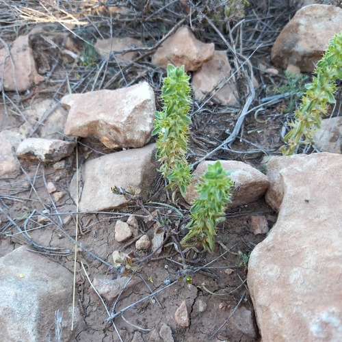
Research-grade observations from iNaturalist (within ~15 mi).
Events
Gallery
Sources
- • Wikidata
- • USGS Earthquake Catalog (global feed)
- • GBIF (Global Biodiversity Information Facility)
- • iNaturalist
- • Open-Meteo / sunrise-sunset.org