Browse / Algeria / Tissemsilt / Theniet El Had
Theniet El Had
Tissemsilttown

Featured view
Theniet El Had
Total population
30,777
Coordinates35.87°, 2.02°
Demographic figures from Office National des Statistiques (Algeria). Overview below cites Wikipedia and may reference a different year.
Loading additional data from public sources…0 / 11
CensusWikipediaWeatherPlacesPeopleEnvironmentHealth & SchoolsRelatedGeography & CultureLive MonitoringEvents & Gallery
0% completeCity facts
Overview
Theniet El Had is a town, district and commune in Algeria. It is located near the Théniet El Had National Park.
Read more on WikipediaHistory & geography
Geography
Latitude
35.8740
Longitude
2.0241
Water area
—
Coordinates & boundaries from the US Census TIGER/Line shapefiles.
Climate
Air quality
Walkability
Amenities nearby
Wildlife & biodiversity
Earthquake history
Photos
Sights & places nearby
Notable people from here

Boualem Sansal
Algerian and French writer

Moussa Saïb
Algerian footballer and manager
J
Jean Montaldo
French journalist
A
Abdelkader Benazzedine
French politician
F
Fanny Colonna
Algerian sociologist

Bakhti Belaïb
Algerian politician
J
Jacques Perrilliat
French official
M
Mohamed Sahnouni
algerian prehistorian and archaeologist
People born within ~10 km, from Wikidata (CC0). Click any name for their Wikipedia article.
Nearby places in Tissemsilt
Geography & sun
Avg solar (kWh/m²/day)
5.21
Annual solar (kWh/m²)
1,901
Elevation, sunrise/sunset and daylight from Open-Meteo. Solar climatology from NASA POWER.
Nearby airports
Public attention
Wikipedia views (last 30 days)
205
Avg daily Wikipedia views
7
Attention level
Obscure
Pageview totals from the Wikimedia Pageviews API.
Books about this place
Recent natural events nearby
Ground air-quality sensors
Recently spotted species
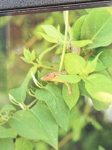
Large Psammodromus
Psammodromus algirus
Seen 2026-06-10
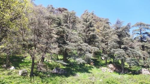
Atlas cedar
Cedrus atlantica
Seen 2025-04-24
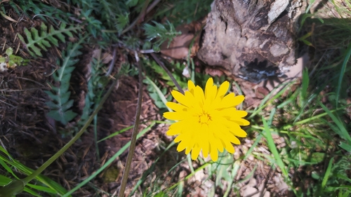
Perennial Hyoseris
Hyoseris radiata
Seen 2025-04-24
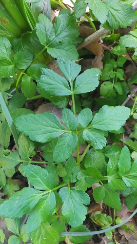
Alexanders
Smyrnium olusatrum
Seen 2025-04-24
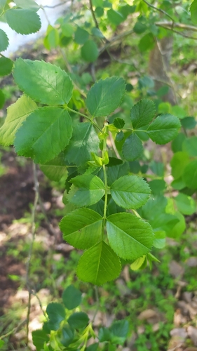
Dog-rose
Rosa canina
Seen 2025-04-24
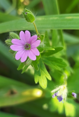
Dove's-foot crane's-bill
Geranium molle
Seen 2025-04-24
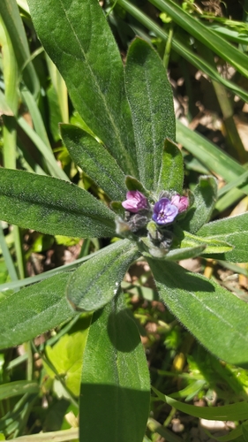
blue hound's-tongue
Cynoglossum creticum
Seen 2025-04-24
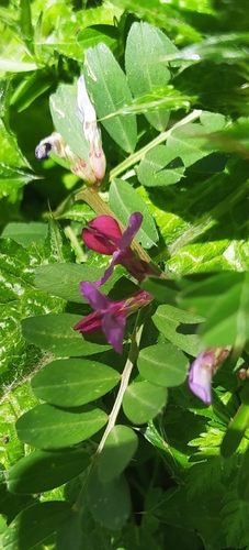
Common Vetch
Vicia sativa
Seen 2025-04-24
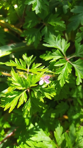
Little-Robin
Geranium purpureum
Seen 2025-04-24
Research-grade observations from iNaturalist (within ~15 mi).
Events
Gallery
Sources
- • Wikipedia
- • Wikidata
- • iNaturalist
- • Open-Meteo / sunrise-sunset.org
- • Wikipedia Pageviews API