Browse / Algeria / Mila / Touta
Touta
Milavillage
Demographic figures from Office National des Statistiques (Algeria). Overview below cites Wikipedia and may reference a different year.
City facts
Overview
Touta is a village that lies in Mila, Algeria. Up-to-date population figures for this locality are not available in the open datasets we monitor. Touta maps to 36.505°, 5.832° — squarely within the warm temperate belt. The location receives about 1,730 kWh/m² of solar irradiance per year and sunshine for roughly 68% of daylight hours. Climatically, locations at this latitude tend to experience warm summers and cool winters. Further detail — demographics, climate, nearby amenities and natural-hazard data — is compiled below from public open-data sources.
Summary composed automatically from structured open data on this page. See our Terms for details.
History & geography
Geography
Coordinates & boundaries from the US Census TIGER/Line shapefiles.
Climate
Air quality
Walkability
Amenities nearby
Wildlife & biodiversity
Most-observed species
- Algerian NuthatchSitta ledanti Vielliard, 1976 · Aves226
- Atlas FlycatcherFicedula speculigera (Bonaparte, 1850) · Aves89
- African ChaffinchFringilla spodiogenys Bonaparte, 1841 · Aves55
- Great Spotted WoodpeckerDendrocopos major (Linnaeus, 1758) · Aves55
- Coal TitPeriparus ater (Linnaeus, 1758) · Aves55
- African Blue TitCyanistes teneriffae (Lesson, 1831) · Aves54
- Short-toed TreecreeperCerthia brachydactyla C.L.Brehm, 1820 · Aves50
- Levaillant's WoodpeckerPicus vaillantii (Malherbe, 1847) · Aves49
Citizen-science & research observations from the Global Biodiversity Information Facility (GBIF).
Earthquake history
Most recent
- M 4.7 — 2026-06-036 km NNW of Draa Klalouche, Algeria
- M 5.2 — 2022-03-1913 km NE of Bejaïa, Algeria
- M 4.3 — 2021-12-2815 km SSW of Skikda, Algeria
- M 4.6 — 2021-07-1918 km SW of Jijel, Algeria
- M 4.6 — 2021-03-2512 km NE of Bejaïa, Algeria
- M 4.5 — 2021-03-24northern Algeria
Events from the USGS Earthquake Catalog (global) (FDSN Event Web Service).
Photos
Sights & places nearby
Notable people from here
People born within ~10 km, from Wikidata (CC0). Click any name for their Wikipedia article.
Nearby places in Mila
- Douar El Kolaa1.8 mi away
- Tassadane Haddada2.6 mi away · pop. 17,378
- Souk el Hed3 mi away
- Mechtat Bouchekif3.1 mi away
- Mechtat El Anceur3.3 mi away
- Melaab Chouarfa3.5 mi away
- Lentia3.9 mi away
- Toumsalt4.1 mi away
- Ouled Amer4.2 mi away
- Ghedir Gueroua4.4 mi away
- El Ayadi Barbes4.9 mi away
- Mechtat Ayad5.4 mi away
Geography & sun
Elevation, sunrise/sunset and daylight from Open-Meteo. Solar climatology from NASA POWER.
Nearby airports
Public attention
Books about this place
Recent natural events nearby
Ground air-quality sensors
Recently spotted species
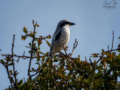
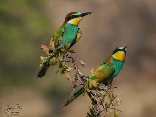
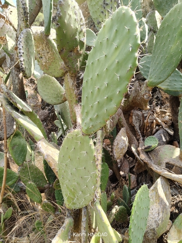
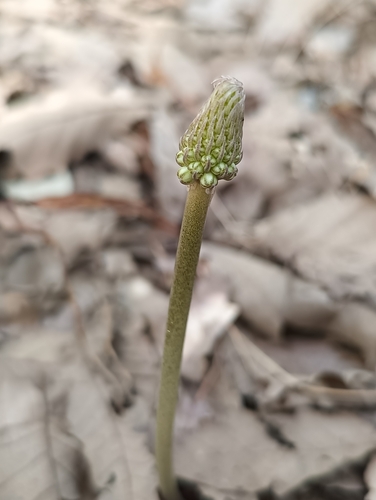
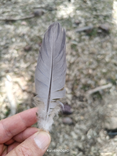
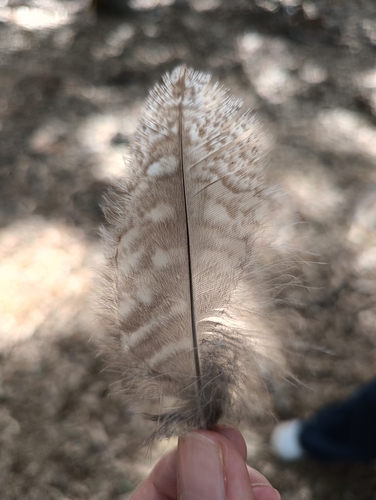
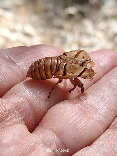
Research-grade observations from iNaturalist (within ~15 mi).
Events
Gallery
Sources
- • Wikidata
- • USGS Earthquake Catalog (global feed)
- • GBIF (Global Biodiversity Information Facility)
- • iNaturalist
- • Open-Meteo / sunrise-sunset.org