Browse / Ecuador / Cañar / Ducur
Ducur
Cañarvillage
Air quality index
Demographic figures from INEC Ecuador. Overview below cites Wikipedia and may reference a different year.
City facts
Overview
Found in Cañar, Ecuador, Ducur is classified as a village in public datasets. No reliable population estimate is published for this entry in the open data we rely on. Coordinates of -2.462°, -79.114° situate Ducur in the equatorial zone of the southern hemisphere. The latitude suggests hot and humid year-round with little seasonal temperature variation. The location receives about 1,401 kWh/m² of solar irradiance per year and sunshine for roughly 55% of daylight hours. Local weather statistics describe average highs near 65.2°F and lows near 56.1°F, alongside about 138.5 in of annual precipitation (a very wet total). Open-data panels below dive into population trends, climate normals, environmental indicators and nearby places.
Summary composed automatically from structured open data on this page. See our Terms for details.
History & geography
Geography
Coordinates & boundaries from the US Census TIGER/Line shapefiles.
Climate
10-year averages from ERA5 reanalysis (Open-Meteo).
Air quality
Current readings from Open-Meteo Air Quality API (Copernicus CAMS European reanalysis).
Walkability
Amenities nearby
Wildlife & biodiversity
Most-observed species
- Flame-rumped TanagerRamphocelus flammigerus (Jardine & Selby, 1833) · Aves683
- Rufous-tailed HummingbirdAmazilia tzacatl (de la Llave, 1833) · Aves649
- Blue-gray TanagerThraupis episcopus (Linnaeus, 1766) · Aves605
- Ecuadorian ThrushTurdus maculirostris Berlepsch & Taczanowski, 1884 · Aves544
- Scrub BlackbirdDives warczewiczi (Cabanis, 1861) · Aves505
- Thick-billed EuphoniaEuphonia laniirostris d'Orbigny & Lafresnaye, 1837 · Aves492
- Little TinamouCrypturellus soui (Hermann, 1783) · Aves476
- Buff-throated SaltatorSaltator maximus (P.L.S.Müller, 1776) · Aves465
Citizen-science & research observations from the Global Biodiversity Information Facility (GBIF).
Earthquake history
Most recent
- M 4.6 — 2026-05-0624 km NE of La Troncal, Ecuador
- M 4.6 — 2026-01-0329 km N of Alausí, Ecuador
- M 4 — 2025-12-138 km SSW of San Miguel, Ecuador
- M 4.8 — 2025-08-2421 km NNW of Cañar, Ecuador
- M 5.2 — 2025-06-218 km NW of Naranjal, Ecuador
- M 4.4 — 2025-05-1012 km NW of Naranjal, Ecuador
Events from the USGS Earthquake Catalog (global) (FDSN Event Web Service).
Photos
Sights & places nearby
Notable people from here
Nearby places in Cañar
Geography & sun
Elevation, sunrise/sunset and daylight from Open-Meteo. Solar climatology from NASA POWER.
Nearby airports
Public attention
Books about this place
Recent natural events nearby
Ground air-quality sensors
Recently spotted species
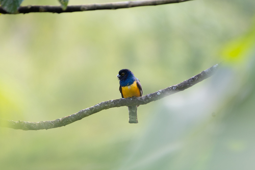
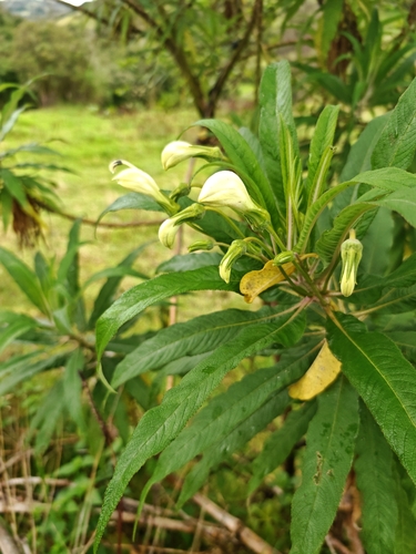
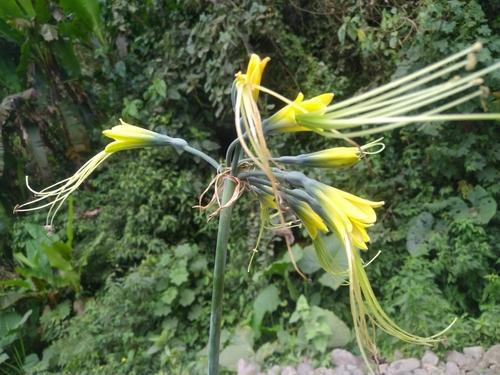
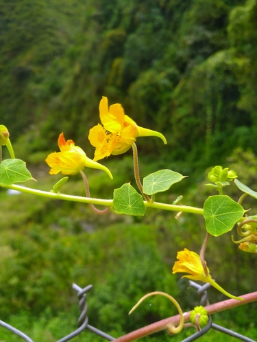
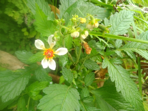
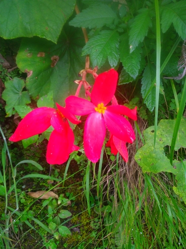
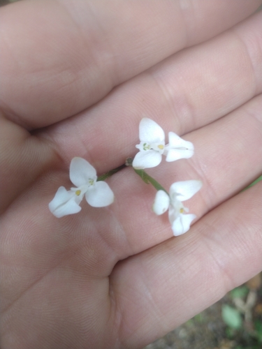
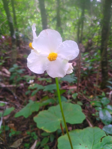
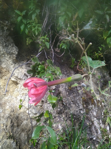
Research-grade observations from iNaturalist (within ~15 mi).
Events
Gallery
Geotagged photos within ~6 miles of Ducur, from Wikimedia Commons contributors.


Photos via Wikimedia Commons — see each image page for license & attribution.
Sources
- • Open-Meteo (ERA5 reanalysis)
- • Wikimedia Commons
- • Wikidata
- • Open-Meteo Air Quality (CAMS)
- • USGS Earthquake Catalog (global feed)
- • GBIF (Global Biodiversity Information Facility)
- • iNaturalist
- • Open-Meteo / sunrise-sunset.org