Browse / Ecuador / Pichincha / Quito
Quito
Pichinchacity

Quito
Total population
2,671,191
Founded
1534
Air quality index
Demographic figures from INEC Ecuador. Overview below cites Wikipedia and may reference a different year.
City facts
Sister cities
Facts from Wikidata (CC0).
Overview
Quito, officially San Francisco de Quito, is the capital and second-largest city of Ecuador, with an estimated population of 2.8 million in its metropolitan area. It is also the capital of the province of Pichincha. Quito is in a valley on the eastern slopes of Pichincha, an active stratovolcano in the Andes.
Read more on WikipediaHistory & geography
History
The oldest traces of human presence in Quito were excavated by American archeologist Robert E. Bell in 1960, on the slopes of the Ilaló volcano, located between the eastern valleys of Los Chillos and Tumbaco. Hunter-gatherers left tools of obsidian glass, dated to 8000 BC. This archeological site, called EI Inga, was brought to Robert Bell's attention by Allen Graffham. As a geologist in Ecuador, Graffham pursued his amateur interest in archeology. He made surface collections at the site during 1956. The discovery of projectile points, particularly specimens with basal fluting, stimulated his interest, and he made several visits to the site to collect surface materials. Graffham's previous interest in Paleo-Indian remains, and his experience with early human-made materials in Kansas and Nebraska in the Central Plains of the United States, led him to believe that the site was an important discovery. The priest Juan de Velasco wrote about a Kingdom of Quito. His source was a lost work by Marcos de Niza, the existence of which has not been confirmed. His account said that another people, known as the Cara or the Schyris, came from the coast and took over the entire region by AD 890. He goes on by saying that this kingdom lasted until the Inca took over the territory in the 15th century. However archeological evidence does not indicate unity among the different ethnic groups in the region. The local Quitu or Quillaco tribe is distinct in its art and architecture from its neighbors. By the 20th century, many prominent historians who began more academic studies, doubted the account of the Quitu-Cara kingdom. They think it was a legendary pre-Hispanic account of the highlands. These days, most historians deny the existence of the kingdom of Quito in favor of a more…
Geography
Quito is in the northern highlands of Ecuador in the Guayllabamba river basin. The city is built on a long plateau lying on the east flanks of the Pichincha volcano. The valley of Guayllabamba River where Quito lies is flanked by volcanoes, some of them snow-capped, and visible from the city on a clear day. Quito is the closest capital city to the equator. Quito's altitude is listed at . Quito's closest volcano is Pichincha, looming over the western side of the city. Quito is the only capital city that was developed so close to an active volcano. Pichincha volcano has several summits, among them Ruku Pichincha at above sea level and Guagua Pichincha at . Pichincha is active and being monitored by volcanologists at the Geophysical institute of the national polytechnic university. The largest eruption occurred in 1660 when more than of ash covered the city. There were three minor eruptions in the 19th century. The latest eruption was recorded on 5 October 1999, when a few puffs of smoke were seen and much ash was deposited on the city. Activity in other nearby volcanoes can also affect the city. In November 2002 the volcano Reventador erupted and showered the city in fine ash particles, to a depth of several centimeters. The volcanoes on the Central Cordillera (Royal Cordillera), east of Quito, surrounding the Guayllabamba valley, include Cotopaxi, Sincholagua, Antisana and Cayambe. Some of the volcanoes of the Western Cordillera, to the west of the Guayllabamba valley, include Illiniza, Atacazo, and Pululahua (which is the site of the Pululahua Geobotanical Reserve). Quito features a subtropical highland climate with uniform precipitation (Köppen: Cfb, Trewartha: Cfll). Because of its altitude and location on the equator, Quito has a fairly constant cool but…
Excerpted from the corresponding Wikipedia article (CC BY-SA).
Geography
Coordinates & boundaries from the US Census TIGER/Line shapefiles.
Climate
10-year averages from ERA5 reanalysis (Open-Meteo).
Air quality
Current readings from Open-Meteo Air Quality API (Copernicus CAMS European reanalysis).
Walkability
Amenities nearby
Wildlife & biodiversity
Most-observed species
- Rufous-collared SparrowZonotrichia capensis (P.L.S.Müller, 1776) · Aves16,923
- Great ThrushTurdus fuscater Orbigny & Lafresnaye, 1837 · Aves16,103
- Eared DoveZenaida auriculata (Des Murs, 1847) · Aves14,988
- Sparkling VioletearColibri coruscans (Gould, 1846) · Aves13,192
- Black-tailed TrainbearerLesbia victoriae (Bourcier & Mulsant, 1846) · Aves7,103
- Vermilion FlycatcherPyrocephalus rubinus (Boddaert, 1783) · Aves6,469
- blue-and-white swallowNotiochelidon cyanoleuca (Vieillot, 1817) · Aves5,814
- Masked FlowerpiercerDiglossa cyanea (Lafresnaye, 1840) · Aves5,749
Citizen-science & research observations from the Global Biodiversity Information Facility (GBIF).
Earthquake history
Most recent
- M 5.2 — 2026-04-214 km N of Cotacachi, Ecuador
- M 5.1 — 2025-12-1922 km NW of Archidona, Ecuador
- M 4.6 — 2025-08-1624 km ESE of Machachi, Ecuador
- M 4.4 — 2025-06-1936 km W of Archidona, Ecuador
- M 4.2 — 2025-06-1733 km W of Archidona, Ecuador
- M 5 — 2025-06-1744 km ENE of San Miguel de Salcedo, Ecuador
Events from the USGS Earthquake Catalog (global) (FDSN Event Web Service).
Photos
Sights & places nearby
Notable people from here


People born within ~10 km, from Wikidata (CC0). Click any name for their Wikipedia article.
Nearby places in Pichincha
Geography & sun
Elevation, sunrise/sunset and daylight from Open-Meteo. Solar climatology from NASA POWER.
Nearby airports
Public attention
Pageview totals from the Wikimedia Pageviews API.
Books about Quito
Search results from Open Library.
Recent natural events nearby
Ground air-quality sensors
Recently spotted species
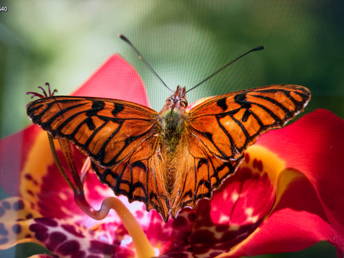
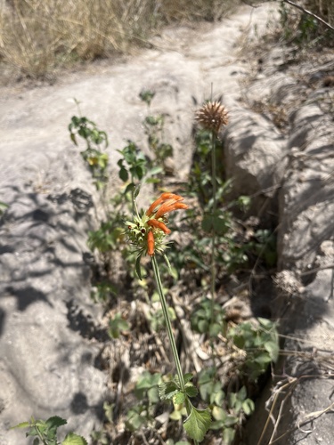
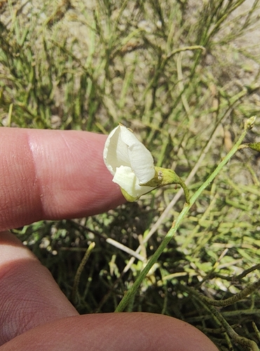
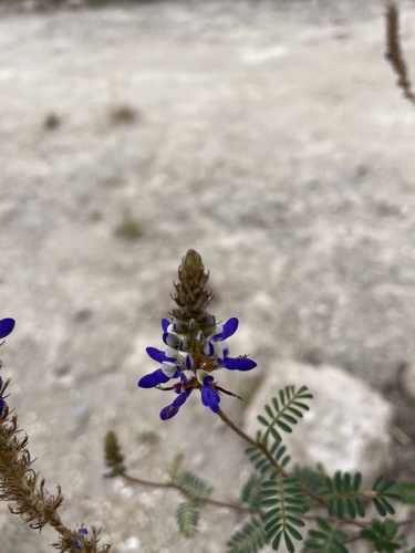
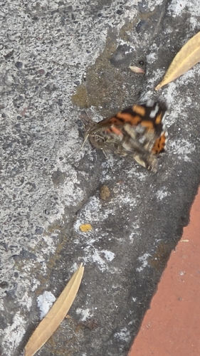
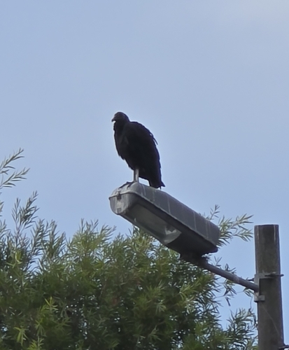
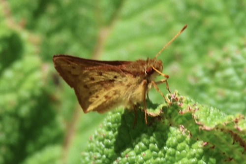
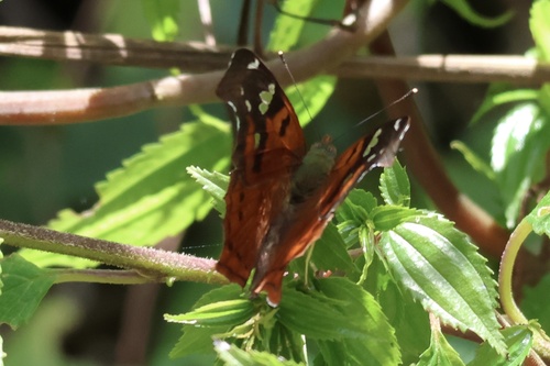
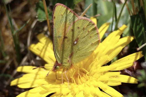
Research-grade observations from iNaturalist (within ~15 mi).
Events
Notable, recurring, and historical events associated with Quito, sourced from Wikidata.
- 53rd International Eucharistic CongressJan 1, 2024recurring event edition
- Ciclopaseo in Quito, Ecuadorrecurring event
Source: Wikidata (CC0).
Gallery
Geotagged photos within ~6 miles of Quito, from Wikimedia Commons contributors.


.jpg)

.jpg)

.jpg)


.jpg)

.jpg)


Photos via Wikimedia Commons — see each image page for license & attribution.
Sources
- • Wikipedia
- • Open-Meteo (ERA5 reanalysis)
- • Wikimedia Commons
- • Wikidata
- • Open-Meteo Air Quality (CAMS)
- • USGS Earthquake Catalog (global feed)
- • GBIF (Global Biodiversity Information Facility)
- • iNaturalist
- • Open-Elevation
- • Open-Meteo / sunrise-sunset.org
- • Wikipedia Pageviews API
- • Open Library