Browse / Estonia / Viljandi / Viljandi
Viljandi
Viljanditown

Viljandi
Total population
19,100
Founded
1263
Air quality index
Demographic figures from Statistics Estonia. Overview below cites Wikipedia and may reference a different year.
City facts
Facts from Wikidata (CC0).
Overview
Viljandi is a city and municipality in southern Estonia with a population of 17,000 in 2026. It is the capital of Viljandi County and is geographically located between two major Estonian cities, Pärnu and Tartu.
Read more on WikipediaHistory & geography
History
The first records of civilization in the surroundings of Viljandi date back to the 5th millennium B.C. The first written record of the earthen stronghold of Viljandi was in the year 1154 in the commentaries to al-Idrisi's world atlas Geography. In the 12th century, a permanent settlement emerged around the stronghold of Viljandi, which also became the economic centre of the ancient Sakala district. In 1211 the hillfort of the Estonians in Viljandi was besieged by a joint army of Germans, Latvians, and Livonians. The Livonian Sword Brethren (later the Livonian Order) captured the hillfort in August 1223 from a contingent of the people of Ruthenians, who joined forces with the insurgent Estonians. In place of the Sakala wooden stronghold a powerful Order Centre was started in 1224. The following year the Grand Master Volquin led the construction of Viljandi Castle at the site of the former hillfort. Viljandi (Fellin) castle was one of the largest in the Baltic region. It was a major fortification of the Livonian Order and was appointed a commander from 1248. The fortress was continually rebuilt and modernized over the next two-hundred years. In the 13th century, a medieval town arose on the northern side of the stronghold. The Hamburg-Riga town bylaws, lands and population of it were first recorded in 1283. During the first half of the 14th century, Viljandi joined the influential Hanseatic League – the town had become an important stop for merchants on their way to Russia and back. In 1365, the town council was party when peace between Denmark and Hansa was concluded. In 1470, Johann Wolthus von Herse, then master of the order, took up residence in the castle. In the Middle Ages, Viljandi was a typical small commercial town, which got its main income from transit…
Geography
The city is situated on the north-western shore of Lake Viljandi, which lies in the primeval valley. Green zones cover 27% of the city's area. Public green areas cover about 418 ha, including 92 ha of parks. The largest is the nature-protected Castle Park, but also Valuoja Park, Kiigepark, Uueveski Park are worth mentioning. The main tree species are oak, lime, birch, and pine. The grandest tree-lined avenues are Maramaa (named after August Maramaa, twice the mayor of Viljandi) and Lembitu avenues. Among foreign species, American larch can be found in Köler avenue and Douglas fir in Uus street.
Excerpted from the corresponding Wikipedia article (CC BY-SA).
Geography
Coordinates & boundaries from the US Census TIGER/Line shapefiles.
Climate
10-year averages from ERA5 reanalysis (Open-Meteo).
Air quality
Current readings from Open-Meteo Air Quality API (Copernicus CAMS European reanalysis).
Walkability
Amenities nearby
Wildlife & biodiversity
Most-observed species
- Common ChaffinchFringilla coelebs Linnaeus, 1758 · Aves484
- Common BuzzardButeo buteo (Linnaeus, 1758) · Aves467
- Great Spotted WoodpeckerDendrocopos major (Linnaeus, 1758) · Aves370
- Eurasian BlackbirdTurdus merula Linnaeus, 1758 · Aves348
- Common ChiffchaffPhylloscopus collybita (Vieillot, 1817) · Aves342
- Great TitParus major Linnaeus, 1758 · Aves297
- Common CraneGrus grus (Linnaeus, 1758) · Aves282
- European RobinErithacus rubecula (Linnaeus, 1758) · Aves275
Citizen-science & research observations from the Global Biodiversity Information Facility (GBIF).
Earthquake history
Events from the USGS Earthquake Catalog (global) (FDSN Event Web Service).
Photos
Sights & places nearby
Notable people from here


People born within ~10 km, from Wikidata (CC0). Click any name for their Wikipedia article.
Nearby places in Viljandi
- Viiratsi2.1 mi away · pop. 1,300
- Ramsi4.3 mi away · pop. 633
- Kõpu10.6 mi away · pop. 333
- Õisu11.5 mi away
- Suure-Jaani12.7 mi away · pop. 1,238
- Olustvere13.2 mi away · pop. 400
- Mustla13.3 mi away · pop. 818
- Halliste14.9 mi away · pop. 365
- Kolga-Jaani17.4 mi away
- Karksi-Nuia18.1 mi away · pop. 1,975
- Abja-Paluoja18.4 mi away · pop. 1,041
- Võhma18.5 mi away · pop. 1,540
Geography & sun
Elevation, sunrise/sunset and daylight from Open-Meteo. Solar climatology from NASA POWER.
Nearby airports
Public attention
Pageview totals from the Wikimedia Pageviews API.
Books about Viljandi
Search results from Open Library.
Recent natural events nearby
Ground air-quality sensors
Recently spotted species
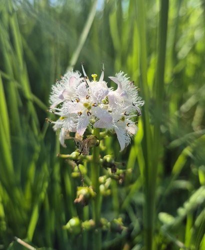
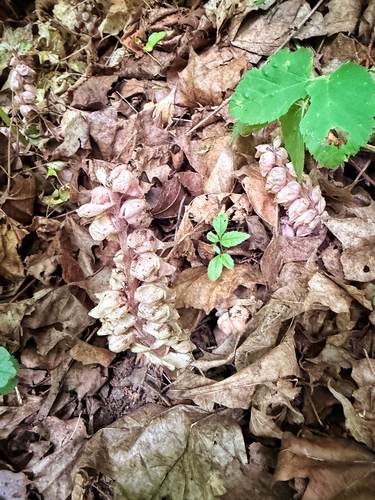
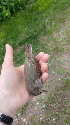
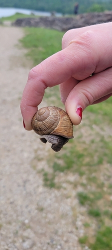
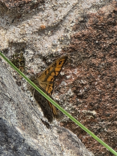
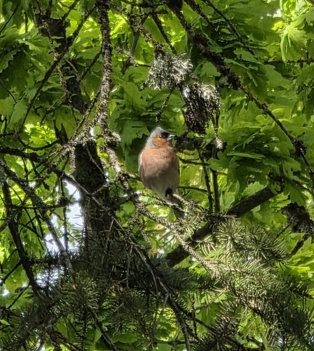
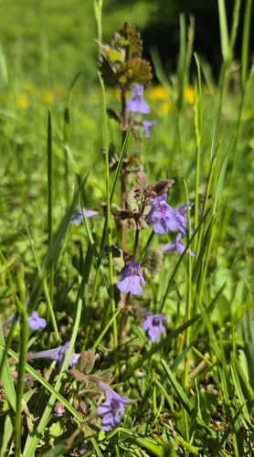
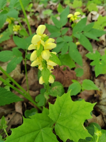
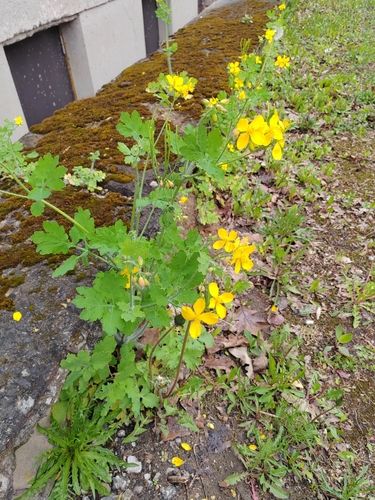
Research-grade observations from iNaturalist (within ~15 mi).
Events
Notable, recurring, and historical events associated with Viljandi, sourced from Wikidata.
Source: Wikidata (CC0).
Gallery
Geotagged photos within ~6 miles of Viljandi, from Wikimedia Commons contributors.
 0.1 mi
 0.1 mi
 0.2 mi
 0.2 mi
 0.2 mi
 0.2 mi
 0.2 mi
 0.2 mi
 0.2 mi
 0.2 mi
 0.2 mi
 0.2 mi
 0.3 mi
 0.3 mi
 0.3 mi
 0.3 mi
 0.3 mi
 0.3 mi
 0.3 mi
 0.3 mi
 0.3 mi
.JPG) 0.3 mi
0.3 mi.JPG) 0.3 mi
0.3 mi 0.3 mi
Photos via Wikimedia Commons — see each image page for license & attribution.
Official Identifiers
Statistikaamet — Statistics Estonia
- EHAK
- 0897
- Population (Wikidata)
- 17,255
- Wikidata
- Q44840
EHAK id via Wikidata P1140
Sources
- • Wikipedia
- • Open-Meteo (ERA5 reanalysis)
- • Wikimedia Commons
- • Wikidata
- • Open-Meteo Air Quality (CAMS)
- • USGS Earthquake Catalog (global feed)
- • GBIF (Global Biodiversity Information Facility)
- • iNaturalist
- • Open-Meteo / sunrise-sunset.org
- • Wikipedia Pageviews API
- • Open Library
- • Wikidata SPARQL (CC0) — population, area, elevation, inception, head of government, Commons image
- • Statistikaamet — Statistics Estonia — EHAK id via Wikidata P1140