Browse / Egypt / Suez / Ain Sokhna
Ain Sokhna
Sueztown

Ain Sokhna
Total population
45,552
Demographic figures from CAPMAS (Egypt). Overview below cites Wikipedia and may reference a different year.
City facts
Facts from Wikidata (CC0).
Overview
Al-'Ain al-Sokhna is a town in the Suez Governorate, lying on the western shore of the Red Sea's Gulf of Suez. It is situated 55 kilometres (34 mi) south of Suez and approximately 120 kilometres (75 mi) east of Cairo.
Read more on WikipediaHistory & geography
History
Recent archaeological excavations have shown that there was an ancient Egyptian port and settlement in this area. The site was first brought to attention in 1999 by Professor Mahmud Abd El Raziq. French and Egyptian archaeologists have been investigating this area since that time. It can be compared with the port of Mersa Gawasis further south. It connected the mining areas of the Sinai with Memphis some 120 km across the Eastern Desert, important for turquoise and copper. As early as the Old Kingdom, seafaring expeditions on the Red Sea were organized from this port. Similar material was also found at the Wadi Maghareh, where many Old Kingdom inscriptions are found. In the Middle Kingdom, activity continued along the Red Sea and across to the mining areas in the Sinai. In Year 1 of Mentuhotep IV, an expedition of 3,000 men was sent to bring back "products the desert". Some 4,000 men were sent in an expedition during the reign of Amenemhat I. In Year 9 of Senusret I and Year 2 of Amenemhat II more expeditions were sent. Ity, son of Isis, was an official serving Amenemhat II and he also has two inscriptions at Wadi Maghara dated to the same year. Ten storage galleries cut into the rock has yielded items, including wooden boat planks, ceramics from the 12th Dynasty, and a gold pendant with parallels to some found at Dahshur dating to the reign of Senusret III.
Excerpted from the corresponding Wikipedia article (CC BY-SA).
Geography
Coordinates & boundaries from the US Census TIGER/Line shapefiles.
Climate
Air quality
Walkability
Amenities nearby
Wildlife & biodiversity
Most-observed species
- House CrowCorvus splendens Vieillot, 1817 · Aves86
- House SparrowPasser domesticus (Linnaeus, 1758) · Aves61
- Common MynaAcridotheres tristis (Linnaeus, 1766) · Aves55
- Spur-winged LapwingVanellus spinosus (Linnaeus, 1758) · Aves52
- Eurasian Collared-DoveStreptopelia decaocto (Frivaldszky, 1838) · Aves49
- Barn SwallowHirundo rustica Linnaeus, 1758 · Aves46
- Graceful PriniaPrinia gracilis (Lichtenstein, 1823) · Aves40
- Eurasian HoopoeUpupa epops Linnaeus, 1758 · Aves37
Citizen-science & research observations from the Global Biodiversity Information Facility (GBIF).
Earthquake history
Most recent
- M 5 — 2026-08-0341 km NNE of Suez, Egypt
- M 3.8 — 2023-02-2323 km NNW of Suez, Egypt
- M 4.3 — 2022-02-0133 km E of Al W?si?ah, Egypt
- M 3.3 — 2018-03-3015 km ESE of New Cairo, Egypt
- M 4.3 — 2017-01-2135 km SE of Bilbays, Egypt
- M 4.1 — 2014-07-2215 km SW of Suez, Egypt
Events from the USGS Earthquake Catalog (global) (FDSN Event Web Service).
Photos
Sights & places nearby
Notable people from here
Nearby places in Suez
Geography & sun
Elevation, sunrise/sunset and daylight from Open-Meteo. Solar climatology from NASA POWER.
Nearby airports
Public attention
Pageview totals from the Wikimedia Pageviews API.
Books about this place
Recent natural events nearby
Ground air-quality sensors
Recently spotted species
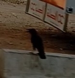
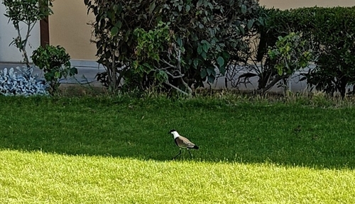
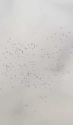
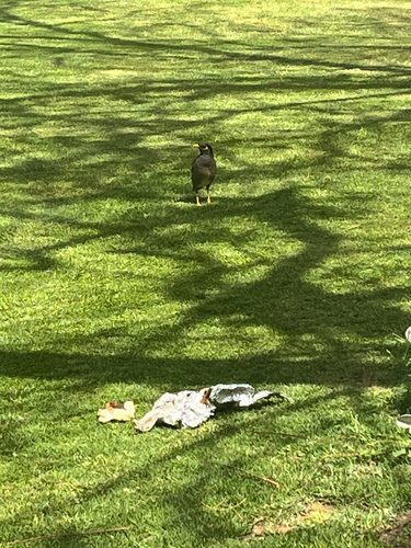
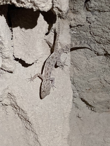
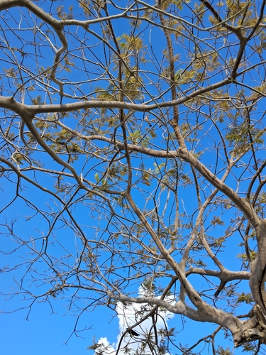
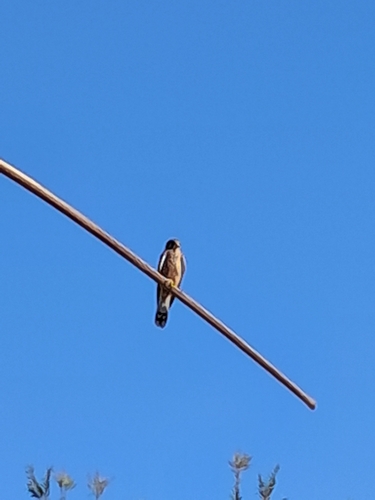
Research-grade observations from iNaturalist (within ~15 mi).
Events
Gallery
Sources
- • Wikipedia
- • Wikidata
- • USGS Earthquake Catalog (global feed)
- • GBIF (Global Biodiversity Information Facility)
- • iNaturalist
- • Open-Meteo / sunrise-sunset.org
- • Wikipedia Pageviews API