Badr
Cairocity

Badr
Total population
33,456
Founded
1982
Demographic figures from CAPMAS (Egypt). Overview below cites Wikipedia and may reference a different year.
City facts
Facts from Wikidata (CC0).
Overview
Badr is a satellite city in the Eastern Area of Cairo, Egypt. It was planned and is administered by the New Urban Communities Authority(NUCA). Badr was established in 1982 according to Prime Ministerial Decree 235/1982 allocating NUCA 3000 acres in the Eastern Desert on the Cairo-Suez Highway. It has since grown to 21,000 acres, and has a 2200 acre industrial zone that includes 564 factories, in addition to 501 factories still under construction.
Read more on WikipediaHistory & geography
Geography
Coordinates & boundaries from the US Census TIGER/Line shapefiles.
Climate
Air quality
Walkability
Amenities nearby
Wildlife & biodiversity
Earthquake history
Photos
Sights & places nearby
Notable people from here
Nearby places in Cairo
- New Heliopolis3.5 mi away
- El Shorouk6.8 mi away · pop. 94,582
- Sherouk 2 Ismalia7.6 mi away
- El Rehab16.1 mi away
- Burg al Hudud19 mi away
- Cairo Festival City21.1 mi away
- Districts of El Tagamoa El Khames21.2 mi away
- El Tagamoa El Talet21.8 mi away
- Katameya Heights Compound22.7 mi away
- El Qattameya City23.3 mi away
- El Dimirdash27.1 mi away
- El Faroukiya31.4 mi away
Geography & sun
Elevation, sunrise/sunset and daylight from Open-Meteo. Solar climatology from NASA POWER.
Nearby airports
Public attention
Pageview totals from the Wikimedia Pageviews API.
Books about Badr

Search results from Open Library.
Recent natural events nearby
Ground air-quality sensors
Recently spotted species
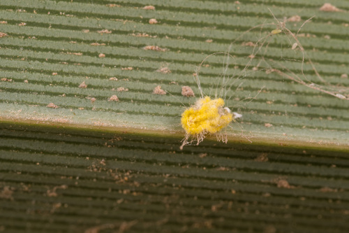
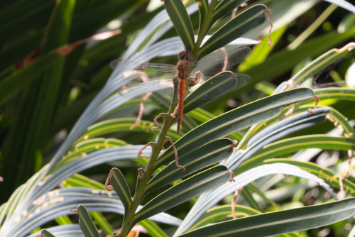
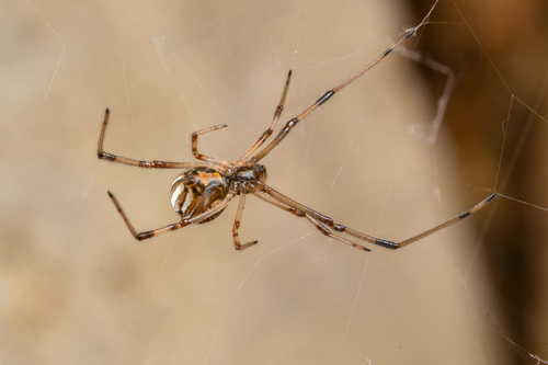
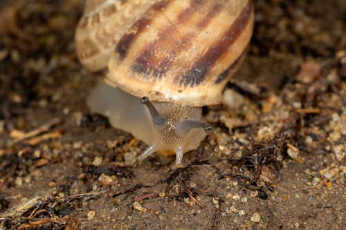
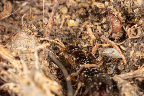
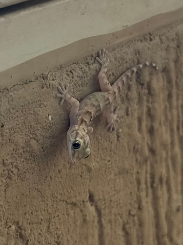
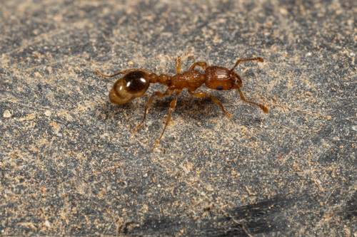
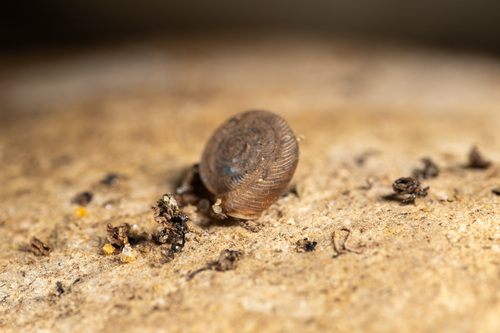
Research-grade observations from iNaturalist (within ~15 mi).
Events
Gallery
Sources
- • Wikipedia
- • Wikidata
- • iNaturalist
- • Open-Meteo / sunrise-sunset.org
- • Wikipedia Pageviews API
- • Open Library