Browse / Egypt / Giza / Bawiti
Bawiti
Gizatown
Demographic figures from CAPMAS (Egypt). Overview below cites Wikipedia and may reference a different year.
City facts
Overview
As a town in Giza, Egypt, Bawiti occupies its own corner of the country. Located at 28.352°, 28.863°, Bawiti occupies a subtropical portion of the northern hemisphere. Up-to-date population figures for this locality are not available in the open datasets we monitor. Solar-resource estimates put the area at about 2,272 kWh/m² of solar irradiance per year with sunshine for roughly 89% of daylight hours. Based on its subtropical position, residents likely encounter hot summers and mild winters typical of the subtropics. Detailed open-data panels follow, covering demographics, climate, geography, wildlife and nearby settlements.
Summary composed automatically from structured open data on this page. See our Terms for details.
History & geography
Geography
Coordinates & boundaries from the US Census TIGER/Line shapefiles.
Climate
Air quality
Walkability
Amenities nearby
Wildlife & biodiversity
Most-observed species
- Blue-cheeked/Blue-tailed Bee-eaterMerops persicus Pallas, 1773 · Aves12
- Rufous-tailed Scrub RobinErythropygia galactotes (Temminck, 1820) · Aves12
- Cattle EgretBubulcus ibis (Linnaeus, 1758) · Aves10
- Laughing DoveSpilopelia senegalensis (Linnaeus, 1766) · Aves10
- White-crowned WheatearOenanthe leucopyga (C.L.Brehm, 1855) · Aves9
- Kentish PloverCharadrius alexandrinus Linnaeus, 1758 · Aves8
- Eurasian BlackbirdTurdus merula Linnaeus, 1758 · Aves8
- House SparrowPasser domesticus (Linnaeus, 1758) · Aves8
Citizen-science & research observations from the Global Biodiversity Information Facility (GBIF).
Earthquake history
Events from the USGS Earthquake Catalog (global) (FDSN Event Web Service).
Photos
Sights & places nearby
Notable people from here

People born within ~10 km, from Wikidata (CC0). Click any name for their Wikipedia article.
Nearby places in Giza
- Mandisha4.3 mi away
- Al Uwaynah4.6 mi away
- Harra15.5 mi away
- Ghoroud Ghorabi21.1 mi away
- Ghard al Qattaniyah133.5 mi away
- Girza160.1 mi away
- Al Riqqa al Sharqiya al Bahariya160.8 mi away
- Minyat Sultan161.2 mi away
- Bahma167.1 mi away
- 6th of October168.1 mi away · pop. 184,000
- Tahma168.4 mi away
- Al Saff168.5 mi away
Geography & sun
Elevation, sunrise/sunset and daylight from Open-Meteo. Solar climatology from NASA POWER.
Nearby airports
Public attention
Books about this place
Recent natural events nearby
Ground air-quality sensors
Recently spotted species
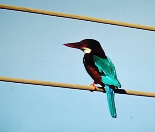
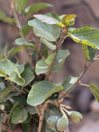
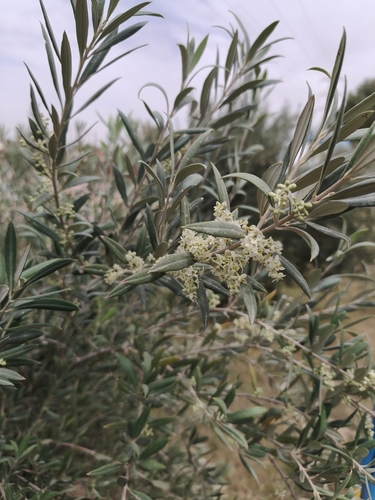
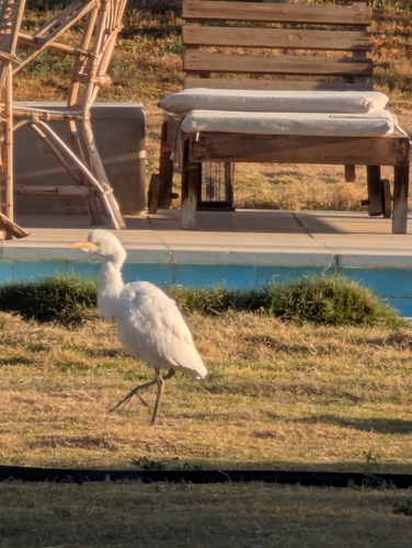
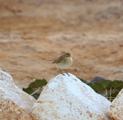
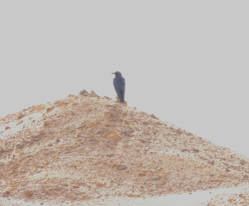
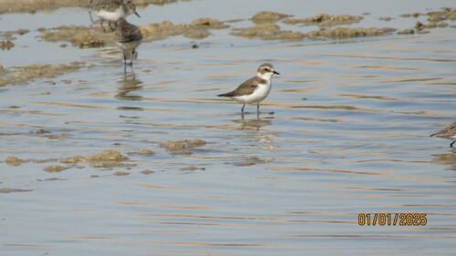
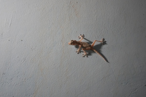
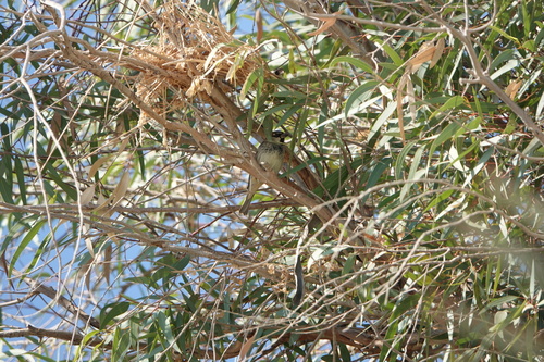
Research-grade observations from iNaturalist (within ~15 mi).
Events
Gallery
Sources
- • Wikidata
- • USGS Earthquake Catalog (global feed)
- • GBIF (Global Biodiversity Information Facility)
- • iNaturalist
- • Open-Meteo / sunrise-sunset.org