Browse / Egypt / Cairo / Cairo
Cairo
Cairocity

Cairo
Total population
9,120,350
Air quality index
Demographic figures from CAPMAS (Egypt). Overview below cites Wikipedia and may reference a different year.
City facts
Facts from Wikidata (CC0).
Overview
Cairo is the capital and largest city of Egypt and the Cairo Governorate. It is home to more than 9.8 million people. It is also part of the largest urban agglomeration in Africa, the Arab world, and the Middle East. The Greater Cairo metropolitan area is one of the largest in the world by population with over 22 million people. Areas of what would become Cairo were inhabited from pre-dynastic and early-dynastic ancient Egypt c. 6000 years ago, as the Giza pyramid complex and the ancient cities of Memphis and Heliopolis are today within the city.
Read more on WikipediaHistory & geography
History
The area around present-day Cairo had long been a focal point of Ancient Egypt due to its strategic location at the junction of the Nile Valley and the Nile Delta regions (roughly Upper Egypt and Lower Egypt), which also placed it at the crossing of major routes between North Africa and the Levant. Memphis, the capital of Egypt during the Old Kingdom and a major city up until the Ptolemaic period, was located a short distance south west of present-day Cairo. Heliopolis, another important city and major religious centre, was located in what are now the modern districts of Matariya and Ain Shams in northeastern Cairo. It was largely destroyed by the Persian invasions in 525 BC and 343 BC and partly abandoned by the late first century BC. However, the origins of modern Cairo are generally traced back to a series of settlements in the first millennium AD. Around the turn of the fourth century, as Memphis was continuing to decline in importance, the Romans established a large fortress along the east bank of the Nile. The trading post of Babylon, first mentioned in 50 BC, became a fortress, built by the Roman emperor Diocletian (r. 285–305) at the entrance of a canal connecting the Nile to the Red Sea that was created earlier by Emperor Trajan (r. 98–117). Further north of the fortress, near the present-day district of al-Azbakiya, was a port and fortified outpost known as Tendunyas () or Umm Dunayn. While no structures older than the 7th century have been preserved in the area aside from the Roman fortifications, historical evidence suggests that a sizeable city existed. The city was important enough that its bishop, Cyrus, participated in the Second Council of Ephesus in 449. The Byzantine-Sassanian War between 602 and 628 caused great hardship and likely led much of the…
Geography
Cairo is located in northern Egypt, known as Lower Egypt, south of the Mediterranean Sea and west of the Gulf of Suez and Suez Canal. The city lies along the Nile River, immediately south of the point where the river leaves its desert-bound valley and branches into the low-lying Nile Delta region. Although the Cairo metropolis extends away from the Nile in all directions, the city of Cairo resides only on the east bank of the river and two islands within it on a total area of . Geologically, Cairo lies on alluvium and sand dunes which date from the quaternary period. Until the mid-19th century, when the river was tamed by dams, levees, and other controls, the Nile in the vicinity of Cairo was highly susceptible to changes in course and surface level. Over the years, the Nile gradually shifted westward, providing the site between the eastern edge of the river and the Mokattam highlands on which the city now stands. The land on which Cairo was established in 969 (present-day Islamic Cairo) was located underwater just over three hundred years earlier, when Fustat was first built. Low periods of the Nile during the 11th century continued to add to the landscape of Cairo; a new island, known as Geziret al-Fil, first appeared in 1174, but eventually became connected to the mainland. Today, the site of Geziret al-Fil is occupied by the Shubra district. The low periods created another island at the turn of the 14th century that now composes Zamalek and Gezira. Land reclamation efforts by the Mamluks and Ottomans further contributed to expansion on the east bank of the river. Because of the Nile's movement, the newer parts of the city—Garden City, Downtown Cairo, and Zamalek—are located closest to the riverbank. The areas, which are home to most of Cairo's embassies, are…
Excerpted from the corresponding Wikipedia article (CC BY-SA).
Geography
Coordinates & boundaries from the US Census TIGER/Line shapefiles.
Climate
Air quality
Current readings from Open-Meteo Air Quality API (Copernicus CAMS European reanalysis).
Walkability
Amenities nearby
Wildlife & biodiversity
Most-observed species
- Laughing DoveSpilopelia senegalensis (Linnaeus, 1766) · Aves1,268
- Hooded CrowCorvus cornix Linnaeus, 1758 · Aves1,238
- House SparrowPasser domesticus (Linnaeus, 1758) · Aves1,095
- Rock PigeonColumba livia J.F.Gmelin, 1789 · Aves996
- Common BulbulPycnonotus barbatus (Desfontaines, 1789) · Aves682
- Cattle EgretBubulcus ibis (Linnaeus, 1758) · Aves539
- White WagtailMotacilla alba Linnaeus, 1758 · Aves531
- Eurasian HoopoeUpupa epops Linnaeus, 1758 · Aves510
Citizen-science & research observations from the Global Biodiversity Information Facility (GBIF).
Earthquake history
Most recent
- M 4.3 — 2022-02-0133 km E of Al W?si?ah, Egypt
- M 3.3 — 2018-03-3015 km ESE of New Cairo, Egypt
- M 4.3 — 2017-01-2135 km SE of Bilbays, Egypt
- M 4.3 — 2012-02-1647 km W of Mad?nat Sittah Ukt?bar, Egypt
- M 4.3 — 2008-06-2140 km W of Mad?nat Sittah Ukt?bar, Egypt
- M 4.1 — 2005-07-3114 km WNW of Al ‘Ayy??, Egypt
Events from the USGS Earthquake Catalog (global) (FDSN Event Web Service).
Photos
Sights & places nearby
Notable people from here


People born within ~10 km, from Wikidata (CC0). Click any name for their Wikipedia article.
Nearby places in Cairo
- El Sheikh Mubarak3.1 mi away
- El Dimirdash4.1 mi away
- El Faroukiya6.8 mi away
- Tura al Asmant8.6 mi away
- Cairo Festival City10.6 mi away
- Katameya Heights Compound10.7 mi away
- El Qattameya City11.2 mi away
- Districts of El Tagamoa El Khames11.8 mi away
- Burg al Hudud12.1 mi away
- El Tagamoa El Talet12.3 mi away
- El Tagamoa El Awal13.1 mi away
- Helwan14.6 mi away · pop. 643,327
Geography & sun
Elevation, sunrise/sunset and daylight from Open-Meteo. Solar climatology from NASA POWER.
Nearby airports
Public attention
Pageview totals from the Wikimedia Pageviews API.
Books about Cairo
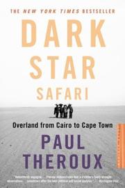






Search results from Open Library.
Recent natural events nearby
Ground air-quality sensors
Recently spotted species
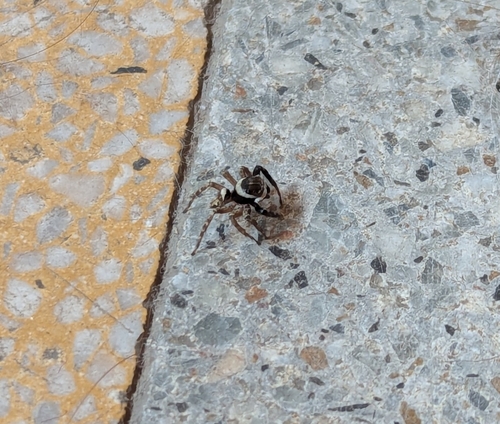
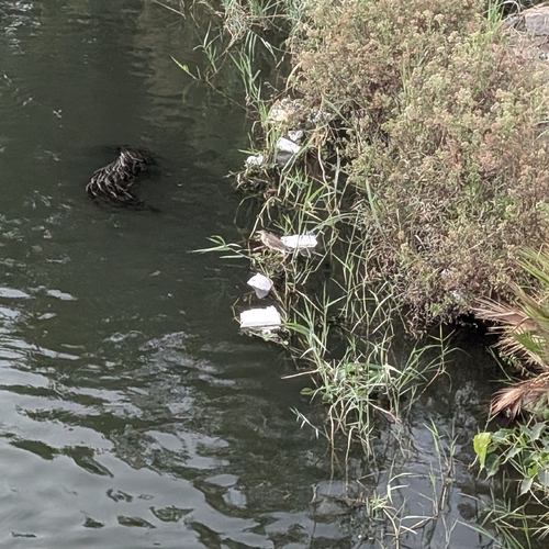
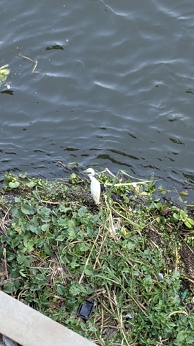
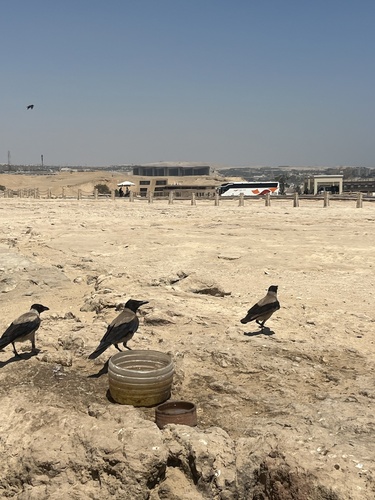
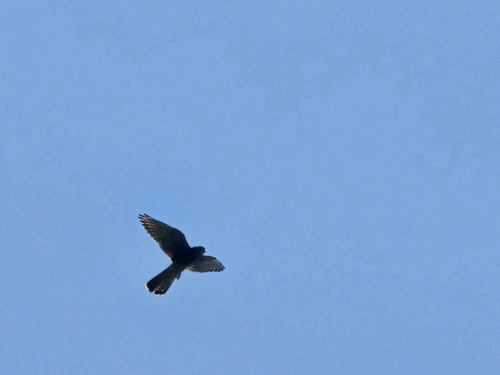
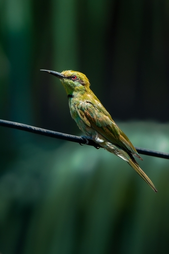
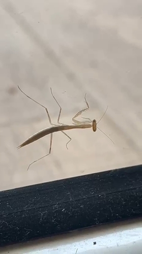
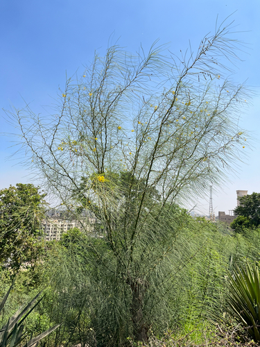
Research-grade observations from iNaturalist (within ~15 mi).
Events
Notable, recurring, and historical events associated with Cairo, sourced from Wikidata.
- Jan 20, 2025
- AO Trauma Course—Basic Principles of Fracture Management (Cairo, 2024)Jul 1, 2024planned event
AO Trauma educational course held in Cairo, Egypt, July 1-3, 2024
- Q107110406Jan 1, 2021sporting event
- Q107110430Jan 1, 2018sporting event
- Oct 23, 2017
- 39th Cairo International Film FestivalJan 1, 2017award ceremony
- Q25402207Jan 1, 2014sporting event
- Q25380383Sep 22, 1994sporting event
- Q16577571Jan 1, 1987sporting event
- Q12246031festival
Source: Wikidata (CC0).
Gallery
Geotagged photos within ~6 miles of Cairo, from Wikimedia Commons contributors.


.jpg)
.jpg)
.jpg)


.jpg)


.jpeg)
Photos via Wikimedia Commons — see each image page for license & attribution.
Sources
- • Wikipedia
- • Wikimedia Commons
- • Wikidata
- • Open-Meteo Air Quality (CAMS)
- • USGS Earthquake Catalog (global feed)
- • GBIF (Global Biodiversity Information Facility)
- • iNaturalist
- • Open-Elevation
- • Open-Meteo / sunrise-sunset.org
- • Wikipedia Pageviews API
- • Open Library