Browse / Egypt / Giza / Dahshur
Dahshur
Gizavillage

Featured view
Dahshur
Coordinates29.75°, 31.24°
Demographic figures from CAPMAS (Egypt). Overview below cites Wikipedia and may reference a different year.
Loading additional data from public sources…0 / 11
CensusWikipediaWeatherPlacesPeopleEnvironmentHealth & SchoolsRelatedGeography & CultureLive MonitoringEvents & Gallery
0% completeCity facts
Facts from Wikidata (CC0).
Overview
Dahshur is an ancient Egyptian pyramid complex and necropolis and shares the name of the nearby village of Manshiyyat Dahshur in markaz Badrashin, Giza.
Read more on WikipediaHistory & geography
Geography
Latitude
29.7513
Longitude
31.2408
Water area
—
Coordinates & boundaries from the US Census TIGER/Line shapefiles.
Climate
Air quality
Walkability
Amenities nearby
Wildlife & biodiversity
Earthquake history
Photos
Sights & places nearby
Notable people from here
A
Aacheperkareseneb
ancient Egyptian sculptor

Petosiris
4th century BCE Egyptian high priest
A
Agathoclea
mistress of Ptolemy IV of Egypt

Nefermaat
ancient Egyptian prince and vizier

Amun
Egyptian saint

Mentuhotep
ancient Egyptian queen consort
D
Djedefhor
ancient Egyptian prince
P
Palaephatus
ancient Greek writer

Tyti
ancient Egyptian queen consort of Ramses III

Bebi
Egyptian vizier under king Mentuhotep II in the Eleventh Dynasty
P
Peseshet
Ancient Egyptian physician
M
Minkhaf I
ancient Egyptian prince and vizier
A
Ahmes
Egyptian scribe and mathematician (1680BC-1620BC)

Innocentius
Christian martyr killed in 302

Inykhnum
Egyptian high-ranking official
N
Nefer-Setekh
Egyptian high official
People born within ~10 km, from Wikidata (CC0). Click any name for their Wikipedia article.
Nearby places in Giza
- Abu Rajwan al Qibli1.8 mi away
- Abu Ragwan2.3 mi away
- El shobak el sharki2.6 mi away
- Abu Ragwan al Bahari2.7 mi away
- Minshat Dahshur3.1 mi away
- Al Shobak al Gharbi3.5 mi away
- Qiblya4.1 mi away
- Al Ikhsas al Qibliyah4.1 mi away
- Al Maraziq4.4 mi away
- Ghamaza Al-Kubra4.6 mi away
- Al Shimbab5.4 mi away
- Sakanat Arab al Araidah6.5 mi away
Geography & sun
Nearby airports
Public attention
Books about this place
Recent natural events nearby
Ground air-quality sensors
Recently spotted species
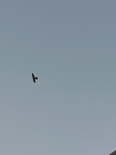
Eurasian Kestrel
Falco tinnunculus
Seen 2026-08-28
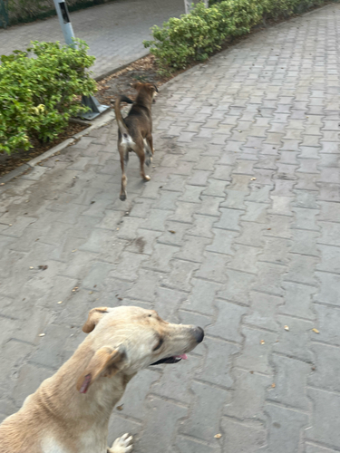
Domestic Dog
Canis familiaris
Seen 2026-08-28
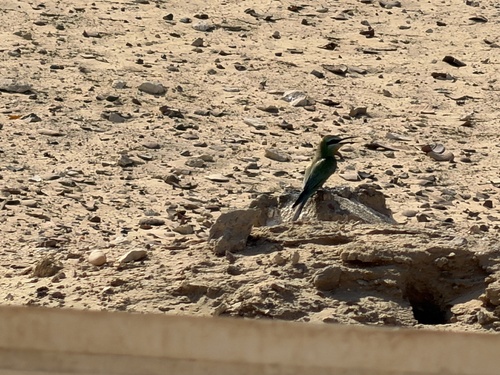
Blue-cheeked Bee-eater
Merops persicus
Seen 2026-06-27
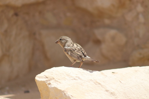
House Sparrow
Passer domesticus
Seen 2026-05-06
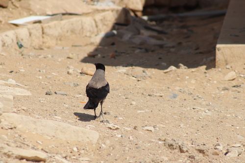
Hooded Crow
Corvus cornix
Seen 2026-05-06
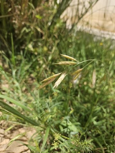
Rescue Brome
Bromus catharticus
Seen 2026-04-26
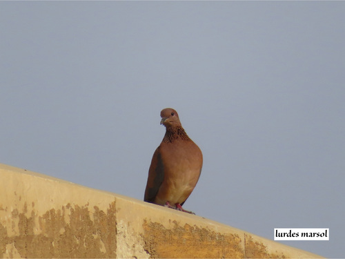
Laughing Dove
Spilopelia senegalensis
Seen 2026-04-24
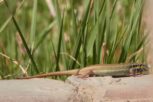
African Five-lined Skink
Trachylepis quinquetaeniata
Seen 2026-04-21
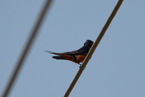
Barn Swallow
Hirundo rustica
Seen 2026-04-21
Research-grade observations from iNaturalist (within ~15 mi).
Events
Gallery
Sources
- • Wikipedia
- • Wikidata
- • iNaturalist