Browse / Egypt / El Beheira / Rosetta
Rosetta
El Beheiracity

Rosetta
Total population
68,947
Demographic figures from CAPMAS (Egypt). Overview below cites Wikipedia and may reference a different year.
City facts
Facts from Wikidata (CC0).
Overview
Rosetta or Rashid is a port city of the Nile Delta, 65 km (40 mi) east of Alexandria, in Egypt's Beheira governorate. The Rosetta Stone was discovered in nearby Fort Julien in 1799.
Read more on WikipediaHistory & geography
History
Because of the proverbial phrase in , researchers believe that Bolbitine was celebrated for its manufactory of chariots in antiquity. The city was near the mouth of a branch of the Nile that was called the Bolbitine mouth (τὸ Βολβίτινον στόμα). Herodotus wrote that the Bolbitine mouth was not a natural but an excavated channel. Iban Haqal mentioned it and said that it is a city on the Nile, close to the salt sea from a crater known as Ashtum (). What is now known today as Rosetta was an Umayyad stronghold in 749, when it was sacked during the Bashmuric Revolt. In the 850s, the Abbasid caliph Al-Mutawakkil ordered a fort to be built on the site of the Ptolemaic city of Bolbitine, and the medieval city grew around this fort. In the era of the Ayyubid state, neighboring Alexandria witnessed extensive commercial activity as a result of the concessions granted by the Ayyubids to Italian merchants, and before the Bay of Alexandria was re-cleared in 1013 in the Fatimid era by order of Al-Hakim bi-Amr Allah, which contributed to linking Alexandria to the city of Fuwwah, south of Rashid and overlooking the Nile. And from it to Cairo and the rest of the cities of Egypt, and this led to the flourishing of the commercial activity of Fuwwah, which affected the movement of trade Rashid, so that in the era of the Mamluks Fuwwah became the base of the trade networks in the region. During the Seventh Crusade, Louis IX of France briefly occupied the town in 1249. Following the destruction of Damietta during the crusade, Al-Zahir Baybars built it again in 1250. However, due to the huge costs of protecting it with strong walls and an impenetrable castle, he built a fortress in 1262 to monitor any possible upcoming invasion. During the reign of Al-Nasir Muhammad, the Gulf of Alexandria…
Geography
The city is located 65 km (40 mi) east of Alexandria, in Egypt's Beheira governorate. Köppen-Geiger climate classification system classifies its climate as hot desert (BWh), but blowing winds from the Mediterranean Sea greatly moderate the temperatures, typical to the Egypt's north coast, making its summers moderately hot and humid, with winters that are mild and moderately wet when sleet and hail are also common. Rafah, Alexandria, Abu Qir, Rosetta, Baltim, Kafr el-Dawwar and Mersa Matruh are the wettest places in Egypt.
Excerpted from the corresponding Wikipedia article (CC BY-SA).
Geography
Coordinates & boundaries from the US Census TIGER/Line shapefiles.
Climate
Air quality
Walkability
Amenities nearby
Wildlife & biodiversity
Earthquake history
Photos
Sights & places nearby
Notable people from here
Nearby places in El Beheira
Geography & sun
Elevation, sunrise/sunset and daylight from Open-Meteo. Solar climatology from NASA POWER.
Nearby airports
Public attention
Pageview totals from the Wikimedia Pageviews API.
Books about this place
Recent natural events nearby
Ground air-quality sensors
Recently spotted species
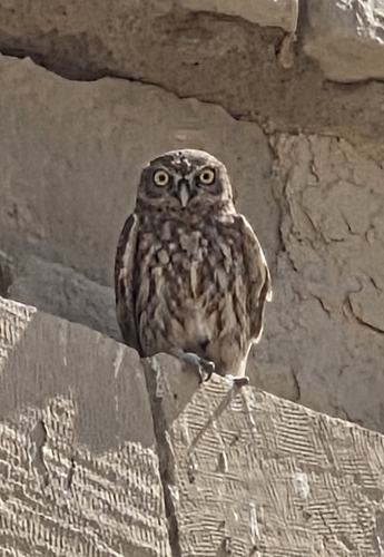

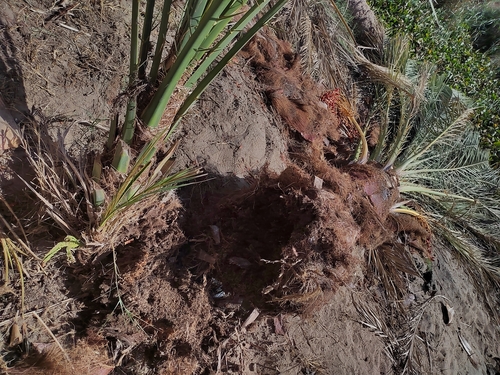
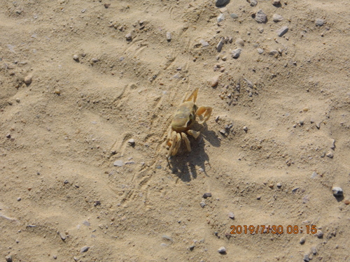
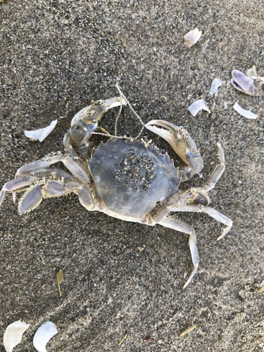
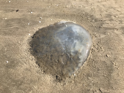
Research-grade observations from iNaturalist (within ~15 mi).
Events
Gallery
Sources
- • Wikipedia
- • Wikidata
- • iNaturalist
- • Open-Meteo / sunrise-sunset.org
- • Wikipedia Pageviews API