Browse / Egypt / Monufia / Shanawan
Shanawan
Monufiavillage

Featured view
Shanawan
Coordinates30.50°, 31.01°
Demographic figures from CAPMAS (Egypt). Overview below cites Wikipedia and may reference a different year.
Loading additional data from public sources…0 / 11
CensusWikipediaWeatherPlacesPeopleEnvironmentHealth & SchoolsRelatedGeography & CultureLive MonitoringEvents & Gallery
0% completeCity facts
Overview
Shanawan is one of the biggest villages in Monufia Governorate, Egypt. It is in the middle between Shibin El Kom City and Al-Baghor City. Shanawan is famous for vegetable production. It is marked by the taro (AlQulqas).
Read more on WikipediaHistory & geography
Geography
Latitude
30.5009
Longitude
31.0076
Water area
—
Coordinates & boundaries from the US Census TIGER/Line shapefiles.
Climate
Air quality
Walkability
Amenities nearby
Wildlife & biodiversity
Earthquake history
Photos
Sights & places nearby
Notable people from here

Kamal Ganzouri
former Egyptian Prime minister (1933-2021)

Kamal Mohammed El-Shazli
Egyptian politician (1934-2010)
P
Pope Joseph I of Alexandria
Coptic Orthodox Pope of Alexandria, Egypt

Mohammed Atef
Egyptian al-Qaeda member (1944–2001)
A
Amr El Halwani
Egyptian association football player
M
Mohamed Hossameldin
Egyptian association football referee
Y
Yehia El-Gamal
Egyptian academic and politician (1930–2016)
A
Ahmed Abou-Shadi
fencer
O
Osman Abdel Hafeez
fencer (1917–1958)
A
Abraham of Egypt
Egyptian monk

Sedki Sobhi
Egyptian military officer
A
Ahmed Gaafar
Egyptian footballer

Ibrahim Eissa
Egyptian journalist

Abdelhamid Shabana
Egyptian footballer
A
Ashraf El-Gharably
Olympic wrestler

Bishoy Kamel
Egyptian saint
People born within ~10 km, from Wikidata (CC0). Click any name for their Wikipedia article.
Nearby places in Monufia
Geography & sun
Avg solar (kWh/m²/day)
5.71
Annual solar (kWh/m²)
2,085
Elevation, sunrise/sunset and daylight from Open-Meteo. Solar climatology from NASA POWER.
Nearby airports
Public attention
Wikipedia views (last 30 days)
43
Avg daily Wikipedia views
1
Attention level
Obscure
Pageview totals from the Wikimedia Pageviews API.
Books about this place
Recent natural events nearby
Ground air-quality sensors
Recently spotted species
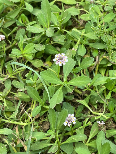
turkey tangle frogfruit
Phyla nodiflora
Seen 2026-09-02
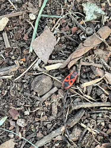
European Firebug
Pyrrhocoris apterus
Seen 2026-07-23
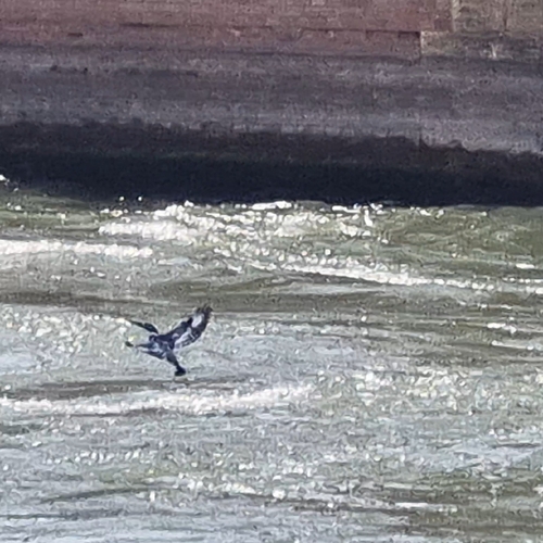
Pied Kingfisher
Ceryle rudis
Seen 2025-12-18
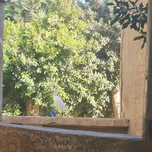
Western Cattle-Egret
Ardea ibis
Seen 2025-10-24
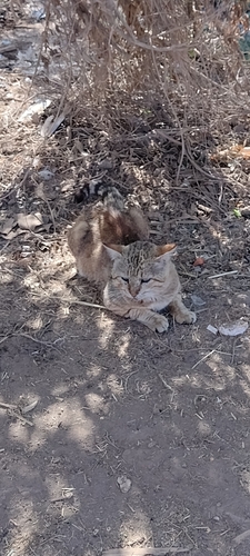
African Wildcat
Felis lybica
Seen 2025-03-19
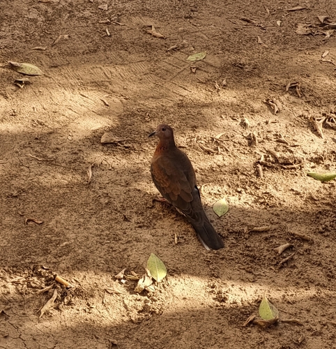
Laughing Dove
Spilopelia senegalensis
Seen 2025-03-07
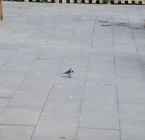
White Wagtail
Motacilla alba
Seen 2024-12-19
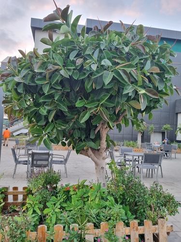
rubber plant
Ficus elastica
Seen 2024-12-01
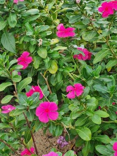
Madagascar Periwinkle
Catharanthus roseus
Seen 2024-11-03
Research-grade observations from iNaturalist (within ~15 mi).
Events
Gallery
Sources
- • Wikipedia
- • Wikidata
- • iNaturalist
- • Open-Meteo / sunrise-sunset.org
- • Wikipedia Pageviews API