Browse / Egypt / Cairo / Shark El Akademya Districts
Shark El Akademya Districts
Cairovillage
Demographic figures from CAPMAS (Egypt). Overview below cites Wikipedia and may reference a different year.
City facts
Overview
Within Cairo, Egypt, Shark El Akademya Districts stands as a village. The settlement sits at 30.043°, 31.436°, a warm-temperate location in the northern hemisphere. Detailed population figures are not currently catalogued in the open data sources we track. Open solar datasets indicate about 2,085 kWh/m² of solar irradiance per year, combined with sunshine for roughly 82% of daylight hours. Based on its warm temperate position, residents likely encounter warm summers and cool winters. Open-data panels below dive into population trends, climate normals, environmental indicators and nearby places.
Summary composed automatically from structured open data on this page. See our Terms for details.
History & geography
Geography
Coordinates & boundaries from the US Census TIGER/Line shapefiles.
Climate
Air quality
Walkability
Amenities nearby
Wildlife & biodiversity
Earthquake history
Photos
Sights & places nearby
Notable people from here


People born within ~10 km, from Wikidata (CC0). Click any name for their Wikipedia article.
Geography & sun
Elevation, sunrise/sunset and daylight from Open-Meteo. Solar climatology from NASA POWER.
Nearby airports
Public attention
Books about this place
Recent natural events nearby
Ground air-quality sensors
Recently spotted species
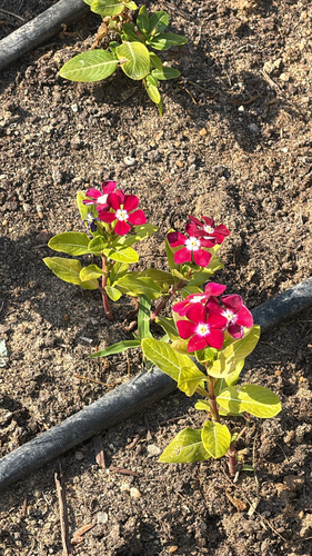
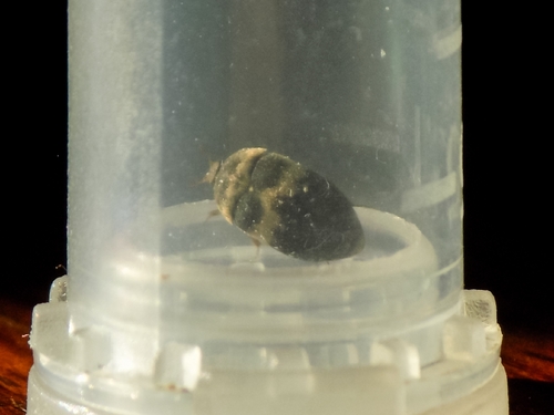
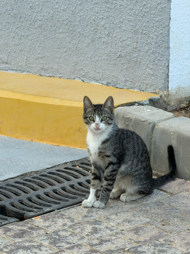
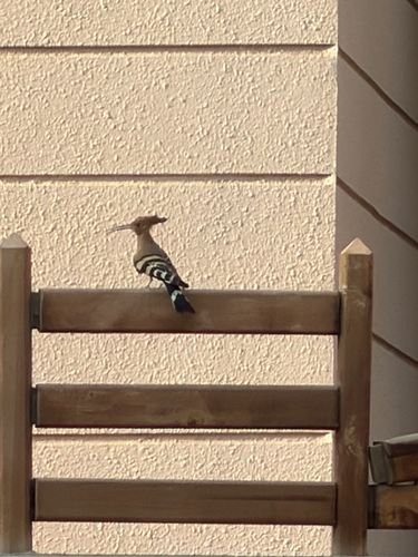
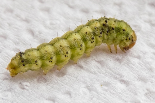
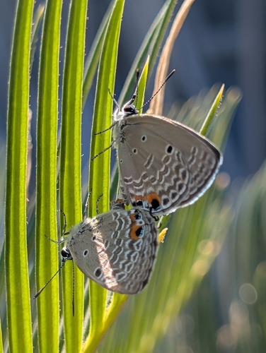
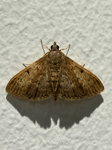
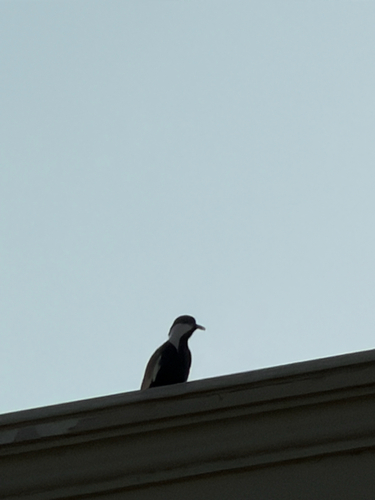
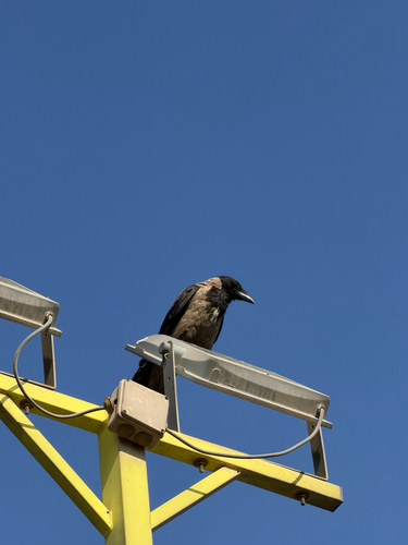
Research-grade observations from iNaturalist (within ~15 mi).
Events
Gallery
Geotagged photos within ~6 miles of Shark El Akademya Districts, from Wikimedia Commons contributors.
 1.3 mi
 1.4 mi
 1.5 mi
 1.7 mi
 1.7 mi
_(Twospatial)_2022-12-02_09H41M15S680.jpg) 1.8 mi
1.8 mi_(Twospatial)_2022-12-02_09H41M15S900.jpg) 1.8 mi
1.8 mi_(Twospatial)_2022-12-02_09H41M16S120.jpg) 1.8 mi
1.8 mi_(Twospatial)_2022-12-02_09H41M16S340.jpg) 1.8 mi
1.8 mi_(Twospatial)_2022-12-02_09H41M16S560.jpg) 1.8 mi
1.8 mi_(Twospatial)_2022-12-02_09H41M16S780.jpg) 1.8 mi
1.8 mi_(Twospatial)_2022-12-02_09H41M17S000.jpg) 1.8 mi
1.8 mi_(Twospatial)_2022-12-02_09H41M17S220.jpg) 1.8 mi
1.8 mi_(Twospatial)_2022-12-02_09H41M17S440.jpg) 1.8 mi
1.8 mi_(Twospatial)_2022-12-02_09H41M17S660.jpg) 1.8 mi
1.8 mi_(Twospatial)_2022-12-02_09H41M17S860.jpg) 1.8 mi
1.8 mi_(Twospatial)_2022-12-02_09H41M18S060.jpg) 1.8 mi
1.8 mi_(Twospatial)_2022-12-02_09H41M18S660.jpg) 1.8 mi
1.8 mi_(Twospatial)_2022-12-02_09H41M18S260.jpg) 1.8 mi
1.8 mi_(Twospatial)_2022-12-02_09H41M18S460.jpg) 1.8 mi
1.8 mi_(Twospatial)_2022-12-02_09H41M18S880.jpg) 1.8 mi
1.8 mi_(Twospatial)_2022-12-02_09H41M19S080.jpg) 1.8 mi
1.8 mi_(Twospatial)_2022-12-02_09H41M19S300.jpg) 1.8 mi
1.8 mi_(Twospatial)_2022-12-02_09H41M19S500.jpg) 1.8 mi
1.8 miPhotos via Wikimedia Commons — see each image page for license & attribution.
Sources
- • Wikimedia Commons
- • Wikidata
- • iNaturalist
- • Open-Meteo / sunrise-sunset.org