Browse / Egypt / Sohag / Suhaj
Suhaj
Sohagcity

Suhaj
Total population
189,695
Demographic figures from CAPMAS (Egypt). Overview below cites Wikipedia and may reference a different year.
City facts
Facts from Wikidata (CC0).
Overview
Sohag, also spelled as Suhag or Suhaj, is a city on the west bank of the Nile in Egypt. It has been the capital of Sohag Governorate since 1960, before which the capital was Girga and the name of the governorate was Girga Governorate. It also included Esna Governorate.
Read more on WikipediaHistory & geography
History
The modern city developed from the village of Suhay () (or Sumay), the name of which eventually transformed into Suhaj, and is located on the site of several ancient settlements, the largest of which is Bompae (; or ). The others include Tmupaie (, ), Bay (, possibly an Arabisation of the aforementioned "Paha") and Sawaqi ().
Geography
Sohag lies on a fertile agricultural plain on the western bank of the Nile, approximately southwest of Akhmim. The city includes two islands; Karaman-ez-Zahur Island is larger and uninhabited, and ez-Zahur Island (جزيرة الزهور, Ǧazīrat az-Zuhur, "Flower Island") has some homes.
Excerpted from the corresponding Wikipedia article (CC BY-SA).
Geography
Coordinates & boundaries from the US Census TIGER/Line shapefiles.
Climate
Air quality
Walkability
Amenities nearby
Wildlife & biodiversity
Earthquake history
Photos
Sights & places nearby
Notable people from here


People born within ~10 km, from Wikidata (CC0). Click any name for their Wikipedia article.
Nearby places in Sohag
Geography & sun
Elevation, sunrise/sunset and daylight from Open-Meteo. Solar climatology from NASA POWER.
Nearby airports
Public attention
Pageview totals from the Wikimedia Pageviews API.
Books about Suhaj
Search results from Open Library.
Recent natural events nearby
Ground air-quality sensors
Recently spotted species
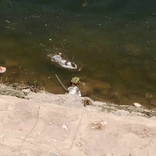
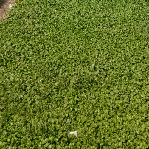

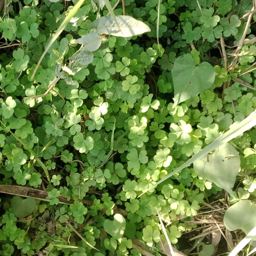
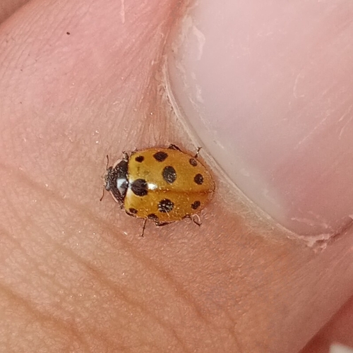
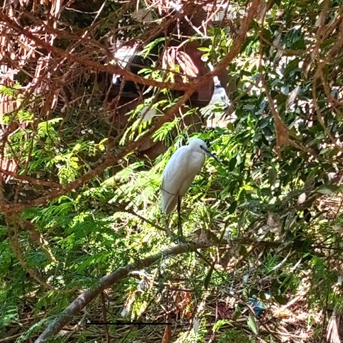
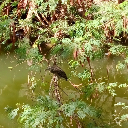
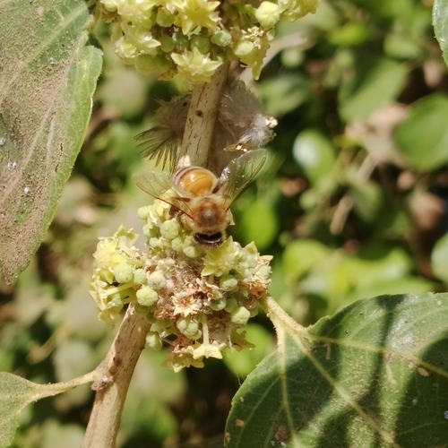
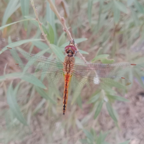
Research-grade observations from iNaturalist (within ~15 mi).
Events
Gallery
Sources
- • Wikipedia
- • Wikidata
- • iNaturalist
- • Open-Meteo / sunrise-sunset.org
- • Wikipedia Pageviews API
- • Open Library