Browse / Egypt / Gharbia / Tanta
Tanta
Gharbiacity

Tanta
Total population
429,503
Demographic figures from CAPMAS (Egypt). Overview below cites Wikipedia and may reference a different year.
City facts
Facts from Wikidata (CC0).
Overview
Tanta is a city in Egypt. It had a population of 530,000 in 2024, making it the seventh most populous city in Egypt. The city is located between Cairo and Alexandria: 94 km (58 mi) north of Cairo and 130 km (81 mi) southeast of Alexandria. The capital of Gharbia Governorate, Tanta is a center for the cotton-ginning industry.
Read more on WikipediaHistory & geography
History
Archaeological evidence indicates that the area of present‑day Tanta was inhabited as early as the reign of Egypt’s 26th Dynasty. A red granite block bearing the name of Pharaoh Ahmose II (570–526 BCE) was discovered near the Ahmad al‑Badawi Mosque, suggesting the settlement may have been known in antiquity as *Tanasu* or *Tanaso*. During the 4th century BCE, Greek sources referred to the town as “Tanitad,” and in the Roman period it was known as “Tantathna,” where it also maintained a local council of elders. The French Egyptologist Georges Daressy proposed that in the Greek period the settlement may have been called *Tawa*, *Tawwa*, or *Tafa* in Latin. In the Byzantine era, it appeared as *Tou* and was the seat of a significant bishopric. During the Muslim conquest of Egypt, the settlement retained the name “Tanitad,” which later evolved into “Tantada.” It remained a small village until the 11th century CE, when it became the capital of the Tandtawi district under the Fatimid Caliph Al‑Mustansir Billah, who appointed a governor to administer it. Subsequently, the administrative structure changed, and Tantada became part of the larger Gharbia Governorate with its capital at Mahalla. Under the rule of Saladin, the village expanded to cover about 100 feddans. Tanta regained prominence in the 13th century with the arrival of the Sufi figure Ahmad al‑Badawi, who settled there . His annual birthday festival transformed the town into a major commercial hub and attracted the attention and patronage of local rulers and leaders of the Badawiyyah Sufi order. The celebration is still held at the Ahmad al‑Badawi Mosque, the city’s most significant religious monument. The city’s development continued under Ali Bey al‑Kabir, who initiated construction of the present Ahmad…
Geography
Tanta is located in the center of the Nile Delta in northern Egypt, in the southern part of the Gharbia Governorate. It occupies a central position relative to Cairo, Alexandria, and most other cities of the Delta. Like the rest of the Delta, the city’s soil is black, alluvial, and formed from Nile silt. This fertile and flat terrain facilitated the city’s urban expansion and its integration with surrounding villages. The city is bordered to the north and east by the Qasr Drain, and to the west and south by the Tanta Canal. In the past, various canals such as the Ja'fariyya Canal ran through what is now the urban area. Tanta experienced a major wave of urban expansion between 1947 and 1976, marked by the spread of informal housing on its agricultural outskirts. This was driven by rural-to-urban migration, increased job opportunities, and the development of modern roads and transportation. Most of the growth occurred to the north and west, near the Cairo–Alexandria agricultural road, and extended southward, leading to the expansion of areas like Kafrat Satouta and Kafrat Al-Ajezi. These areas eventually connected with Kafr Sejer, prompting their incorporation into the city, along with Qaffaha, in 1960. The southeastern expansion was limited due to poor services, proximity to cemeteries, and the presence of railway workshops, which hindered development. However, the area later attracted industrial activity because of cheap land prices, drawing both migrants from rural areas and residents displaced from the Suez Canal region after the 1967 war. Between 1976 and 1986, the city expanded further to reach Sibrbay, where a campus for Tanta University, branches of Al-Azhar University, and a broadcasting center were established. It also extended toward Mahalla Marhom and Meet…
Excerpted from the corresponding Wikipedia article (CC BY-SA).
Geography
Coordinates & boundaries from the US Census TIGER/Line shapefiles.
Climate
Air quality
Walkability
Amenities nearby
Wildlife & biodiversity
Earthquake history
Photos
Sights & places nearby
Notable people from here


People born within ~10 km, from Wikidata (CC0). Click any name for their Wikipedia article.
Nearby places in Gharbia
Geography & sun
Elevation, sunrise/sunset and daylight from Open-Meteo. Solar climatology from NASA POWER.
Nearby airports
Public attention
Pageview totals from the Wikimedia Pageviews API.
Books about this place
Recent natural events nearby
Ground air-quality sensors
Recently spotted species
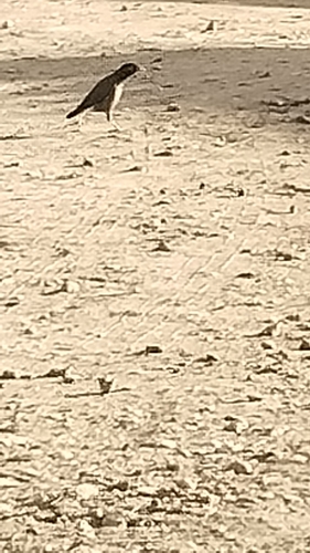
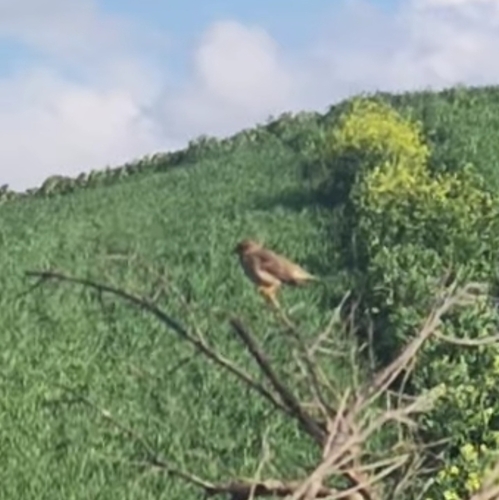
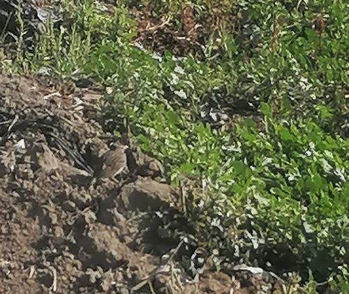
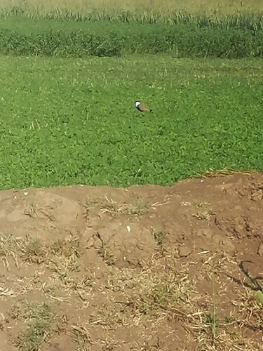
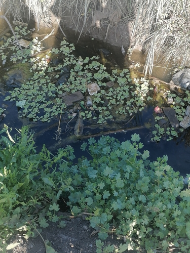
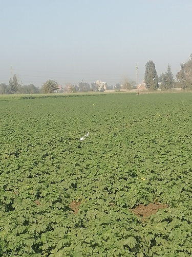
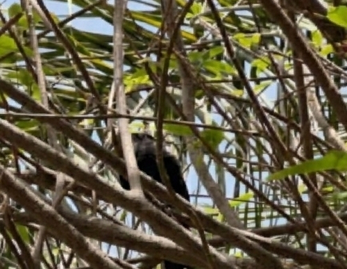
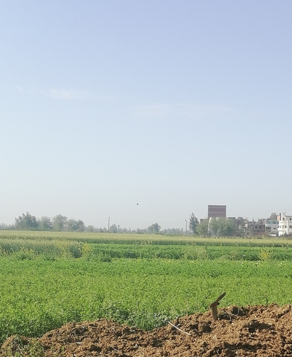
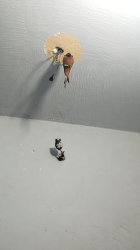
Research-grade observations from iNaturalist (within ~15 mi).
Events
Gallery
Sources
- • Wikipedia
- • Wikidata
- • iNaturalist
- • Open-Meteo / sunrise-sunset.org
- • Wikipedia Pageviews API