Browse / Spain / Galicia / A Coruña
A Coruña
Galiciacity

A Coruña
Total population
214,816
Demographic figures from INE (Spain). Overview below cites Wikipedia and may reference a different year.
City facts
Facts from Wikidata (CC0).
Overview
A Coruña is a city and municipality in Galicia, Spain. With a population of 249,255, it is the 2nd-largest city in Galicia behind Vigo. The city is the provincial capital of the province of A Coruña, having also been the political capital of the Kingdom of Galicia from the 16th to the 19th centuries, and as a regional administrative centre between 1833 and 1982.
Read more on WikipediaHistory & geography
History
A Coruña spread from the peninsula, the site of the later Tower of Hercules, onto the mainland. The oldest part, known popularly in Galician as Cidade Vella (Old City), Cidade Alta (High City) or the Cidade (City), is built on an ancient Celtic castro. It was supposedly inhabited by the Brigantes and Artabrians, the Celtic tribes of the area. The Romans came to the region in the 2nd century BCE; they made the most of the strategic position and soon the city became quite important in maritime trade. In 62 BCE Julius Caesar came to the city (known at the time as Brigantium) in pursuit of the metal trade, establishing commerce with what are now France, England and Portugal. The town began to grow, mainly during the 1st and 2nd centuries (when the Farum Brigantium Tower of Hercules was built), but declined after the 4th century and particularly with the incursions of the Vikings, which forced the population to flee towards the interior of the Estuary of O Burgo. After the fall of the Roman Empire, A Coruña still had a commercial port connected to foreign countries, but contacts with the Mediterranean were slowly replaced by a more Atlantic-oriented focus. The process of deurbanisation that followed the fall of the Roman Empire also affected A Coruña. Between the 7th and 8th centuries, the city was no more than a little village of labourers and sailors. The 11th-century Chronica iriense names Faro do Burgo (ancient name of A Coruña) as one of the dioceses that king Miro granted to the episcopate of Iria Flavia in the year 572: :Mirus Rex Sedi suae Hiriensi contulit Dioceses, scilicet Morratium, Salinensem, (...) Bregantinos, Farum... :"[King Miro granted to his Irienses headquarters the dioceses of Morrazo, Salnés (...). Bergantiños, Faro...]" The Muslim invasion…
Geography
A Coruña is located on a peninsula, and its isthmus was at times formed only by a small strip of sand. Erosion and sea currents caused a progressive accumulation of sand, enlarging it to its present dimensions. A Coruña has a temperate oceanic climate (Köppen: Cfb, Trewartha: Cfbl), characterized by wetter winters and relatively drier summers, although significant rainfall also occurs during the warmer months. Autumn is usually mild with spring-like temperatures, but winter is often unsettled and unpredictable, with strong winds and abundant rainfall coming from Atlantic depressions. The ocean keeps temperatures mild all year round (the variation between winter and summer temperatures is only 9°C/16°F on average) and therefore frost and snow are extremely rare. In fact, the city has not received significant snowfall since January 1987. A Coruña lies in plant hardiness zone 10b. Spring is usually warm and fairly calm, while summers are mostly sunny and humid, with occasional rainfall, usually in the form of drizzle; high temperatures are warm but rarely uncomfortably hot because of the sea's cooling influence during the day, most often being around between July and September. Even the warmest month on record was relatively subdued, being August 2003, with an average high temperature of . Temperatures above occur many days in the summer, while temperatures above are infrequent. A Coruña has five parishes, or : A Coruña, San Vicente de Elviña, Santa María de Oza, San Cristóbal das Viñas, and San Pedro de Visma. * A Agra do Orzán * A Agrela * A Gaiteira * A Mariña * A Silva–San Xosé * A Zapateira * As Durmideiras * As Lagoas * As Roseiras (Rosales) * Barrio das Flores * Bens * Casabranca–As Xubias * Catro Camiños * Cidade Vella (Old town) * Cidade Xardín * Eirís *…
Excerpted from the corresponding Wikipedia article (CC BY-SA).
Geography
Coordinates & boundaries from the US Census TIGER/Line shapefiles.
Climate
10-year averages from ERA5 reanalysis (Open-Meteo).
Air quality
Walkability
Amenities nearby
Wildlife & biodiversity
Earthquake history
Photos
Sights & places nearby
Notable people from here


People born within ~10 km, from Wikidata (CC0). Click any name for their Wikipedia article.
Nearby places in Galicia
- Girard3916.4 mi away
- Martinez3916.5 mi away
- Evans3916.6 mi away
- Hiltonia3919.6 mi away
- Augusta-Richmond County consolidated government (balance)3921 mi away
- Dillard3922.8 mi away
- Lincolnton3924.2 mi away
- Grovetown3924.3 mi away
- Appling3924.6 mi away
- Isle of Hope3924.6 mi away
- Hartwell3924.7 mi away
- Mountain City3924.7 mi away
Geography & sun
Elevation, sunrise/sunset and daylight from Open-Meteo. Solar climatology from NASA POWER.
Nearby airports
Public attention
Pageview totals from the Wikimedia Pageviews API.
Books about A Coruña

Search results from Open Library.
Recent natural events nearby
Ground air-quality sensors
Recently spotted species
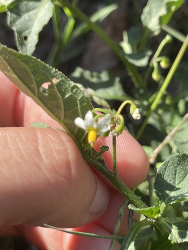
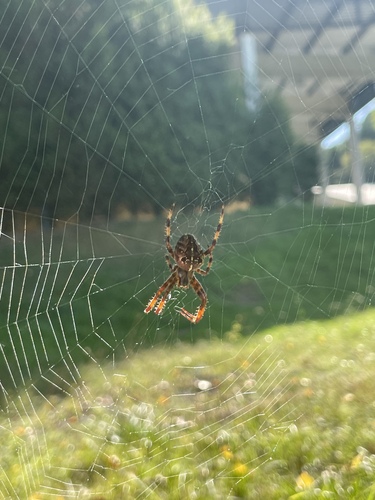

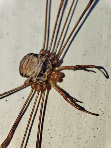
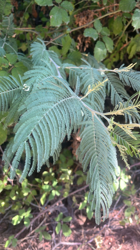
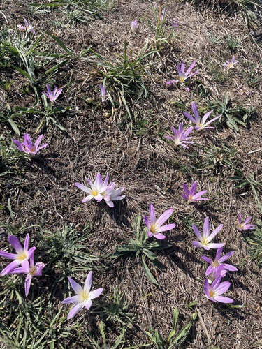
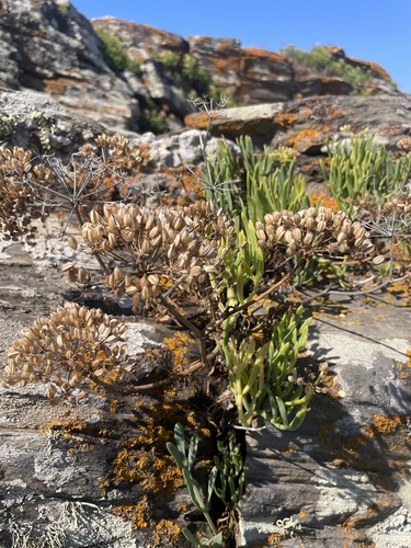
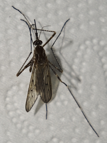
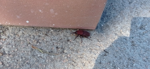
Research-grade observations from iNaturalist (within ~15 mi).
Events
Gallery
Sources
- • Wikipedia
- • Open-Meteo (ERA5 reanalysis)
- • Wikidata
- • iNaturalist
- • Open-Meteo / sunrise-sunset.org
- • Wikipedia Pageviews API
- • Open Library