Browse / Spain / Catalonia / Alcanar
Alcanar
Cataloniavillage

Alcanar
Total population
6,800
Founded
1252
Demographic figures from INE (Spain). Overview below cites Wikipedia and may reference a different year.
City facts
Sister cities
Facts from Wikidata (CC0).
Overview
Alcanar is a Spanish municipality of the Catalan comarca of Montsià, in the Tarragona province. It is a coastal town on the Mediterranean Sea. The Serra del Montsià range and its foothills rise above the town and its surroundings. It has a population of 10,104 . It is the southernmost town in Catalonia, located just north of the border with the municipality of Vinaròs which is in the province of Castellón and part of the region of Valencia.
Read more on WikipediaHistory & geography
History
It was not until the fifteenth century that Alcanar was incorporated as an independent town, but it had been populated for a long time before then. From 1148 the town was part of the municipality of Ulldecona. After it was granted independence, it received the name of the Canar, which originates from republic of its inhabitants. The original charter was granted in February 1239, however the settlement did not stabilise until it was granted a new charter in 1252, the date regarded as the real foundation of the town. In 1380, the village already contained thirty families, and they were subjected to various attacks by Saracen pirates, which led to the construction of a lookout tower in the fourteenth century. As a precaution, the town was fortified and walled. In 1449, the town became independent of Ulldecona. During the war against John II of Castile, the town was occupied by troops of the king, who burned the town. During the reign of Philip II, various defense towers were built to repel attacks by Turkish pirates, and Alcanar was again fortified. In the Catalan Revolt of 1640–59, the town remained loyal to the king of Castile, which led to occupation of the city by Catalan troops. A similar event occurred during the Peninsular War. Later, during the First Carlist War, the city was besieged. It was captured and looted by Carlist troops who held a strong position in the town for a time. On July 11, 1978, a tanker truck carrying flammable liquid exploded in front of the Camping de los Alfaques located at the coast, outside the town, killing 217 people, injuring more than 300 and completely devastating the campsite. On August 16, 2017, an explosion in a house outside of the town, at the coast, killed two people and injured another. The next day, August 17, there…
Excerpted from the corresponding Wikipedia article (CC BY-SA).
Geography
Coordinates & boundaries from the US Census TIGER/Line shapefiles.
Climate
Air quality
Walkability
Amenities nearby
Wildlife & biodiversity
Earthquake history
Photos
Sights & places nearby
Notable people from here


People born within ~10 km, from Wikidata (CC0). Click any name for their Wikipedia article.
Geography & sun
Elevation, sunrise/sunset and daylight from Open-Meteo. Solar climatology from NASA POWER.
Nearby airports
Public attention
Pageview totals from the Wikimedia Pageviews API.
Books about this place
Recent natural events nearby
Ground air-quality sensors
Recently spotted species
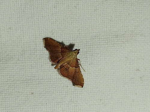
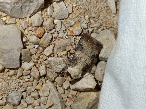
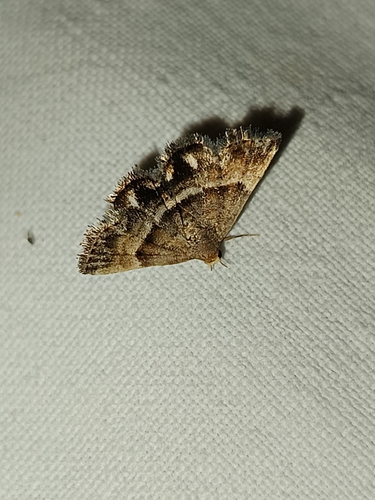
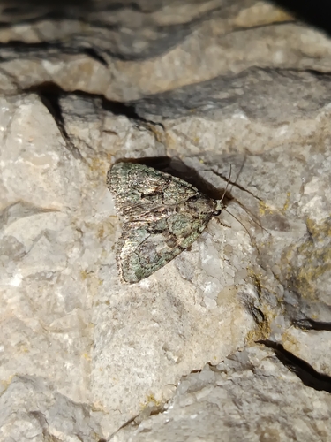


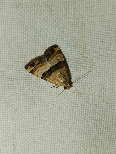
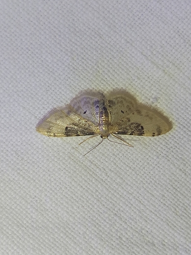

Research-grade observations from iNaturalist (within ~15 mi).
Events
Gallery
Sources
- • Wikipedia
- • Wikidata
- • iNaturalist
- • Open-Meteo / sunrise-sunset.org
- • Wikipedia Pageviews API