Browse / Spain / Balearic Islands / Algaida
Algaida
Balearic Islandsvillage

Algaida
Total population
3,315
Demographic figures from INE (Spain). Overview below cites Wikipedia and may reference a different year.
City facts
Facts from Wikidata (CC0).
Overview
Algaida is a municipality on the Spanish Balearic island of Mallorca. It has an area of 89.70 km2 with 4,528 inhabitants.
Read more on WikipediaHistory & geography
History
The name Algaida stems from the Arabic word al-gaida (meaning "the Base"). The municipality comprises Algaida, Pina and Randa. Algaida was first recorded in the year 1232. The most well-known of these communities is Randa, which contains the mesa Puig de Randa, on which there are located three secluded monasteries.
Geography
The municipality of Algaida is located in the south-east of the island of Mallorca, 22 km along the main highway from Palma to Manacor. The municipality encompasses six small mountains, the highest and most famous of which is Puig de Randa at 543 m. Rainfall can occur all year round. The driest month is July with an average rainfall of 12.5 L/m2. The heaviest rainfall in a single 24-hour period was on 17 September 1943 at 97 L/m2.
Excerpted from the corresponding Wikipedia article (CC BY-SA).
Geography
Coordinates & boundaries from the US Census TIGER/Line shapefiles.
Climate
Air quality
Walkability
Amenities nearby
Wildlife & biodiversity
Most-observed species
- House SparrowPasser domesticus (Linnaeus, 1758) · Aves2,720
- Sardinian WarblerCurruca melanocephala (J.F.Gmelin, 1789) · Aves2,052
- Common Wood-PigeonColumba palumbus Linnaeus, 1758 · Aves2,049
- Yellow-legged GullLarus michahellis J.F.Naumann, 1840 · Aves1,899
- Eurasian BlackbirdTurdus merula Linnaeus, 1758 · Aves1,862
- Red KiteMilvus milvus (Linnaeus, 1758) · Aves1,853
- Eurasian KestrelFalco tinnunculus Linnaeus, 1758 · Aves1,812
- European StonechatSaxicola rubicola (Linnaeus, 1766) · Aves1,730
Citizen-science & research observations from the Global Biodiversity Information Facility (GBIF).
Earthquake history
Most recent
- M 3.1 — 2005-01-214 km WNW of Vilafranca de Bonany, Spain
- M 2.5 — 2001-11-0339 km NW of Ciutadella, Spain
- M 3.8 — 2001-11-0238 km NW of Ciutadella, Spain
Events from the USGS Earthquake Catalog (global) (FDSN Event Web Service).
Photos
Sights & places nearby
Notable people from here


People born within ~10 km, from Wikidata (CC0). Click any name for their Wikipedia article.
Nearby places in Balearic Islands
- Llucmajor4.7 mi away · pop. 11,771
- Montuïri4.7 mi away · pop. 2,509
- Santa Eugènia5.4 mi away · pop. 1,142
- Lloret de Vistalegre5.9 mi away · pop. 1,009
- Sencelles6.1 mi away · pop. 1,553
- Sant Jordi6.2 mi away · pop. 2,667
- Porreres7.4 mi away · pop. 5,108
- Costitx7.4 mi away · pop. 866
- Pòrtol7.7 mi away · pop. 3,603
- Sant Joan8.1 mi away · pop. 1,917
- s'Arenal de Llucmajor8.4 mi away · pop. 10,085
- Sineu8.5 mi away · pop. 3,812
Geography & sun
Elevation, sunrise/sunset and daylight from Open-Meteo. Solar climatology from NASA POWER.
Nearby airports
Public attention
Pageview totals from the Wikimedia Pageviews API.
Books about this place
Recent natural events nearby
Ground air-quality sensors
Recently spotted species
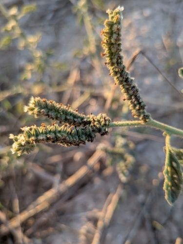
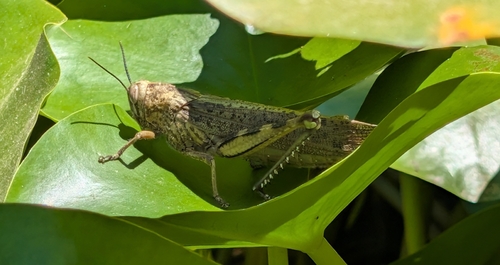
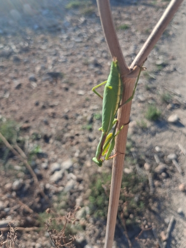
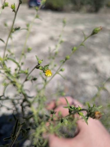
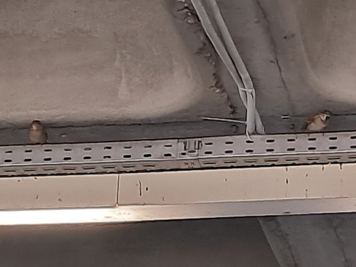
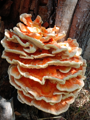
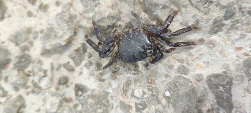
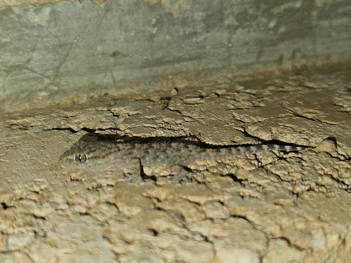
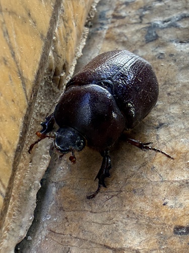
Research-grade observations from iNaturalist (within ~15 mi).
Events
Gallery
Sources
- • Wikipedia
- • Wikidata
- • USGS Earthquake Catalog (global feed)
- • GBIF (Global Biodiversity Information Facility)
- • iNaturalist
- • Open-Meteo / sunrise-sunset.org
- • Wikipedia Pageviews API