Browse / Spain / Andalusia / Alhaurín el Grande
Alhaurín el Grande
Andalusiatown

Alhaurín el Grande
Total population
18,729
Demographic figures from INE (Spain). Overview below cites Wikipedia and may reference a different year.
City facts
Facts from Wikidata (CC0).
Overview
Alhaurín el Grande is a town located in the province of Málaga in the autonomous community of Andalusia in southern Spain.
Read more on WikipediaHistory & geography
History
In the forested areas southeast of Alhaurín el Grande, there are traces of Neolithic occupation, witnesses to the long history of human habitation of the area. These remains were found at Las Huertas Altas and near La Casa Forestal. The area was subsequently inhabited by the Greeks, who brought improved agricultural techniques. By the time the Romans arrived, the tiny Iberian settlement in the Sierra de Mijas was already well established, but if it had a name the Romans chose not to keep it. Instead they gave it one of their own: Lauro Nova. It was a spot apparently blessed by the gods: fertile, temperate, and surrounded by hills rich with valuable mineral deposits. Roman villas were built around the centre of the village and the hills are still dotted with their remains. There is also evidence of the existence of different settlements in various parts of the municipal territory of Alhaurin el Grande, such as Dehesa Baja Camino de Coín o la Alquería. The most important are those of the Fuente del Sol and Huerta del Niño, named after a burial with a tombstone of a young Roman having been discovered. Numerous Roman remains and objects such as columns, ceramics and coins have been found. The town stagnated under the Visigoths, until the Moors took it on and built it a fortress on a hilltop called Torres de Fahala. The Moors also gave it a new name, Alhaurín, meaning "Garden of Allah". Like the Romans before them, they linked the township to a second to which they gave the same name, the two now being known as Alhaurín el Grande and Alhaurín de la Torre. To the Romans they had been Lauro Nova and Lauro Vetus. The fort was destroyed in the destructive zeal of the Reconquista, but the village survived. In the following centuries the town suffered from invasions,…
Geography
Alhaurin el Grande is located on the north side of the Sierra de Mijas at a height of 326 metres above sea level, with a benign climate of mild winters and hot summers; more than two thirds of the days per year have sunshine. The town is situated between the river Fahala and the stream of Blas González, overlooking the "Hoya de Málaga", or vale of Málaga. It is 29 km from Málaga and 18 km from Marbella. Its inhabitants are known as alhaurinos. It is the thirteenth largest city in the province of Málaga by population, after coastal municipalities, the cities of Ronda and Antequera and nearby Alhaurin de la Torre (2009). It has a population around 25,000, of which nearly 5% are estimated to be immigrants. It also contains the neighbourhoods of Chorro or San. Anton, el Bajondillo, San Isidro or Camino de Coin, la Huerta or el Barrio del Alemán, la Fama or the neighbourhood of Palustre, plus several developments such as La Paca, La Chíchara, El Cigarral or Sierra Gorda and the hamlet of Villafranco del Guadalhorce.
Excerpted from the corresponding Wikipedia article (CC BY-SA).
Geography
Coordinates & boundaries from the US Census TIGER/Line shapefiles.
Climate
Air quality
Walkability
Amenities nearby
Wildlife & biodiversity
Most-observed species
- Eurasian BlackbirdTurdus merula Linnaeus, 1758 · Aves6,189
- House SparrowPasser domesticus (Linnaeus, 1758) · Aves5,930
- Eurasian Collared-DoveStreptopelia decaocto (Frivaldszky, 1838) · Aves5,502
- Sardinian WarblerCurruca melanocephala (J.F.Gmelin, 1789) · Aves4,745
- Spotless StarlingSturnus unicolor Temminck, 1820 · Aves4,507
- European SerinSerinus serinus (Linnaeus, 1766) · Aves4,016
- European GoldfinchCarduelis carduelis (Linnaeus, 1758) · Aves3,936
- European GreenfinchChloris chloris (Linnaeus, 1758) · Aves3,668
Citizen-science & research observations from the Global Biodiversity Information Facility (GBIF).
Earthquake history
Most recent
- M 4.6 — 2026-08-184 km NE of Escúzar, Spain
- M 4.5 — 2026-03-1769 km SSE of Fuengirola, Spain
- M 4 — 2026-02-133 km S of Cortes de la Frontera, Spain
- M 4.4 — 2025-12-053 km ESE of Fuengirola, Spain
- M 4 — 2021-10-198 km W of Villanueva de San Juan, Spain
- M 3.9 — 2020-10-163 km NNW of Cortes de la Frontera, Spain
Events from the USGS Earthquake Catalog (global) (FDSN Event Web Service).
Photos
Sights & places nearby
Notable people from here


People born within ~10 km, from Wikidata (CC0). Click any name for their Wikipedia article.
Nearby places in Andalusia
- Miravalle Los Montecillos3.6 mi away · pop. 1,501
- La Capellanía6.8 mi away · pop. 1,870
- La Sierrezuela7.1 mi away · pop. 1,596
- La Perla-Torremuelle7.8 mi away · pop. 1,866
- Monda8.1 mi away · pop. 2,467
- Guaro8.2 mi away · pop. 2,107
- Pizarra8.7 mi away · pop. 7,068
- Peñón-Zapata-Molina8.9 mi away · pop. 1,906
- Chaparral9.2 mi away · pop. 4,923
- Cortijo de Maza-El Olivar10.3 mi away · pop. 3,994
- Ojén10.8 mi away · pop. 3,548
- Guadalmar-San Julián12.4 mi away · pop. 3,573
Geography & sun
Elevation, sunrise/sunset and daylight from Open-Meteo. Solar climatology from NASA POWER.
Nearby airports
Public attention
Pageview totals from the Wikimedia Pageviews API.
Books about this place
Recent natural events nearby
Ground air-quality sensors
Recently spotted species
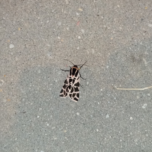
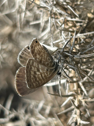
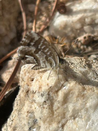
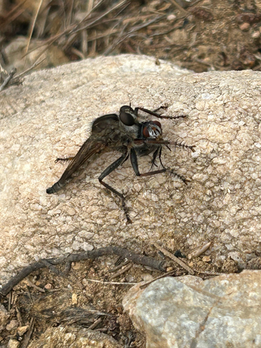
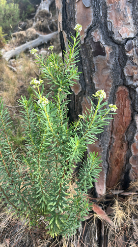
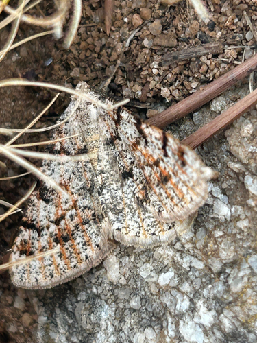
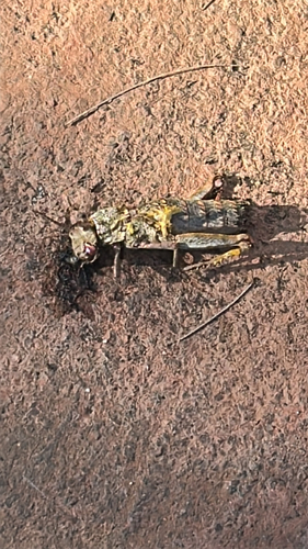
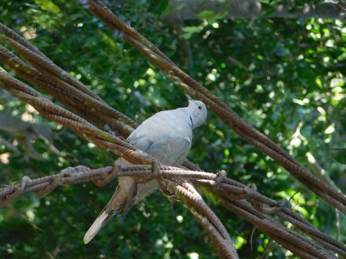
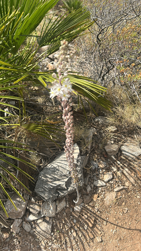
Research-grade observations from iNaturalist (within ~15 mi).
Events
Gallery
Sources
- • Wikipedia
- • Wikidata
- • USGS Earthquake Catalog (global feed)
- • GBIF (Global Biodiversity Information Facility)
- • iNaturalist
- • Open-Meteo / sunrise-sunset.org
- • Wikipedia Pageviews API