Browse / Spain / Andalusia / Álora
Álora
Andalusiatown

Álora
Total population
8,587
Demographic figures from INE (Spain). Overview below cites Wikipedia and may reference a different year.
City facts
Facts from Wikidata (CC0).
Overview
Álora is a town and municipality in southern Spain in the province of Málaga, in the autonomous community of Andalusia. Located c. 40 km from Málaga, on the right bank of the river Guadalhorce and on the Córdoba-Málaga railway, within the comarca of Valle del Guadalhorce. It is a typical pueblo blanco, a whitewashed village nestled between three rocky spurs topped by the ruins of the castle.
Read more on WikipediaHistory & geography
History
The area was first inhabited in prehistoric times, and was exploited for its commercial position by Tartessos and by the Phoenicians, who most likely built the castle. The Romans, after their conquest of Spain, restored the fortress and had here a municipium known as Iluritanum, as attested by an inscription dating to 79 BC. The fortress was further enlarged by the Visigoths and, above all, by the Moors, who conquered it early during their conquest of Spain. Álora became a stronghold of the rebellious Umar ibn Hafsun, semi-independent lord of Bobastro in the time of the emirate of Córdoba. The Christians of northern and central Spain attempted numerous times to conquer the town, but were successful only in 1484. Álora enjoyed a period of prosperity during the 16th and 17th centuries, and in 1628 it became autonomous from the commune of Málaga. In the 20th century much of the population emigrated, especially to Argentina and, starting from the 1960s, Germany, Australia and Switzerland.
Geography
Álora is the crown in the Valle del Guadalhorce between three hills on the right bank of the Guadalhorce river and on the railway route between Málaga and Seville, Córdoba or Granada. The towers of its castle, lookouts for the movement of people and goods to the inner lands, in the realms of Bobastro, stand over the town which is sheltered discretely between two small headlands and Mount Hacho (559 m). It is spread over a vast territory in which are located the major landforms of Málaga. To the north of Arco Calizo Central is the natural setting of El Chorro, the Sierra de Huma (1,191 m) and the Desfiladero de los Gaitanes, where the famous Caminito del Rey is found (so called because it was inaugurated by King Alfonso XIII). To the west, the Sierra de Aguas (949 m) extends to these lands and the mountain complex of Serranía de Ronda, a landscape of pine forests extending from the Guadalhorce river to the road that joins Álora with Carratraca.
Excerpted from the corresponding Wikipedia article (CC BY-SA).
Geography
Coordinates & boundaries from the US Census TIGER/Line shapefiles.
Climate
Air quality
Walkability
Amenities nearby
Wildlife & biodiversity
Earthquake history
Photos
Sights & places nearby
Notable people from here


People born within ~10 km, from Wikidata (CC0). Click any name for their Wikipedia article.
Nearby places in Andalusia
- Cerralba5.4 mi away · pop. 1,068
- Casarabonela8 mi away · pop. 1,975
- Guaro13.6 mi away · pop. 2,107
- El Burgo13.6 mi away · pop. 1,518
- Monda15.1 mi away · pop. 2,467
- Antequera15.7 mi away · pop. 36,326
- Serrato15.8 mi away · pop. 458
- Campillos17.7 mi away · pop. 8,392
- Ojén19.8 mi away · pop. 3,548
- Almargen21.4 mi away · pop. 1,842
- Istán21.5 mi away · pop. 1,218
- Cartaojal22.3 mi away · pop. 1,002
Geography & sun
Elevation, sunrise/sunset and daylight from Open-Meteo. Solar climatology from NASA POWER.
Nearby airports
Public attention
Pageview totals from the Wikimedia Pageviews API.
Books about this place
Recent natural events nearby
Ground air-quality sensors
Recently spotted species
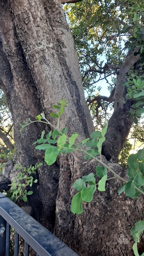
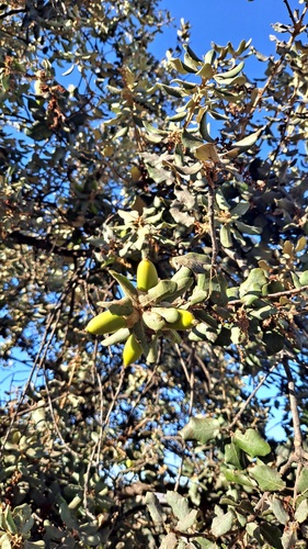
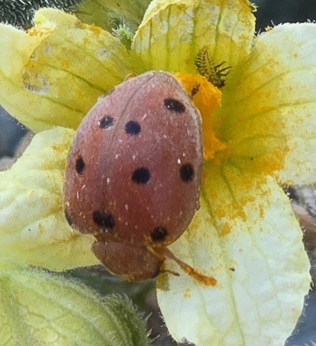
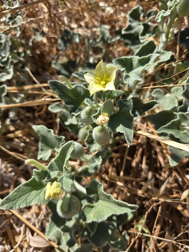
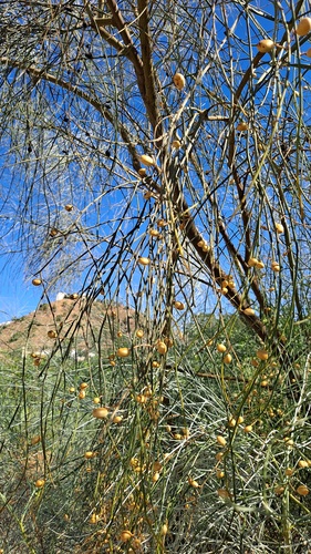
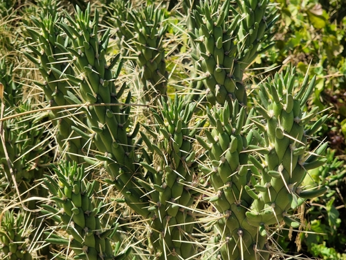
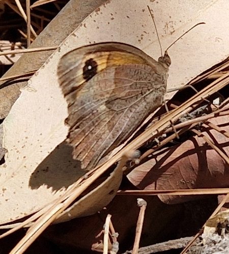
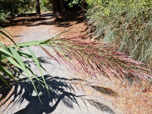
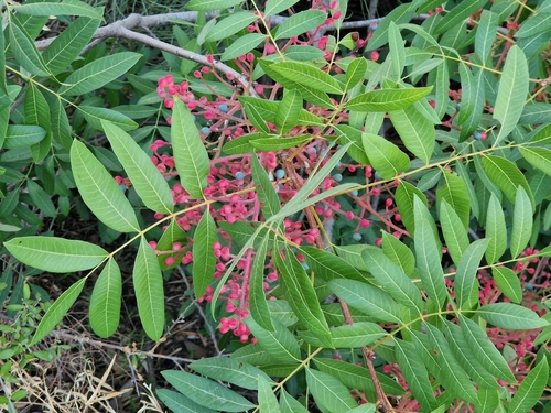
Research-grade observations from iNaturalist (within ~15 mi).
Events
Gallery
Sources
- • Wikipedia
- • Wikidata
- • iNaturalist
- • Open-Meteo / sunrise-sunset.org
- • Wikipedia Pageviews API